57308 Walker Rd Scappoose, OR 97056
Estimated Value: $700,399 - $1,005,000
3
Beds
4
Baths
2,521
Sq Ft
$338/Sq Ft
Est. Value
About This Home
This home is located at 57308 Walker Rd, Scappoose, OR 97056 and is currently estimated at $852,700, approximately $338 per square foot. 57308 Walker Rd is a home located in Columbia County with nearby schools including Scappoose High School.
Ownership History
Date
Name
Owned For
Owner Type
Purchase Details
Closed on
Oct 23, 2014
Sold by
Rice Ted M and Rice Lindsey S
Bought by
Cox Andrew and Cox Lindsay
Current Estimated Value
Home Financials for this Owner
Home Financials are based on the most recent Mortgage that was taken out on this home.
Original Mortgage
$417,000
Outstanding Balance
$319,947
Interest Rate
4.2%
Mortgage Type
New Conventional
Estimated Equity
$532,753
Purchase Details
Closed on
May 26, 2006
Sold by
Janac James D and Janac Deanna C
Bought by
Rice Ted M and Rice Lindsey S
Create a Home Valuation Report for This Property
The Home Valuation Report is an in-depth analysis detailing your home's value as well as a comparison with similar homes in the area
Purchase History
| Date | Buyer | Sale Price | Title Company |
|---|---|---|---|
| Cox Andrew | $442,000 | Columbia County Title | |
| Rice Ted M | $140,000 | Ticor Title |
Source: Public Records
Mortgage History
| Date | Status | Borrower | Loan Amount |
|---|---|---|---|
| Open | Cox Andrew | $417,000 |
Source: Public Records
Tax History
| Year | Tax Paid | Tax Assessment Tax Assessment Total Assessment is a certain percentage of the fair market value that is determined by local assessors to be the total taxable value of land and additions on the property. | Land | Improvement |
|---|---|---|---|---|
| 2025 | $4,137 | $306,579 | $61,839 | $244,740 |
| 2024 | $4,014 | $297,654 | $60,034 | $237,620 |
| 2023 | $3,996 | $288,992 | $61,002 | $227,990 |
| 2022 | $3,818 | $280,581 | $59,181 | $221,400 |
| 2021 | $3,711 | $272,412 | $47,762 | $224,650 |
| 2020 | $3,409 | $264,485 | $50,955 | $213,530 |
| 2019 | $3,324 | $256,790 | $48,890 | $207,900 |
| 2018 | $3,236 | $249,316 | $58,836 | $190,480 |
| 2017 | $3,189 | $242,063 | $57,123 | $184,940 |
| 2016 | $3,162 | $235,023 | $55,463 | $179,560 |
| 2015 | $2,988 | $228,183 | $62,873 | $165,310 |
| 2014 | $2,918 | $221,546 | $65,206 | $156,340 |
Source: Public Records
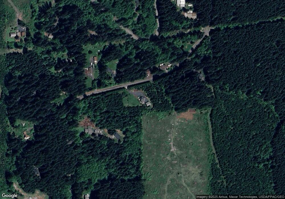
Map
Nearby Homes
- 30004 Scappoose Vernonia Hwy
- 28995 Scappoose Vernonia Hwy
- 32400 Stone Rd
- 31917 Brooks Rd
- 55496 Pioneer Rd
- 0 Peter St Unit 1S 480042051
- 0 Parcel 1 Peter St St Unit 174014860
- 0 Viewcrest Dr Unit 24577481
- 33506 Rodney St
- 31444 New Kirk Rd
- 00 Cater (East) Rd
- 0 Cater (East) Rd Unit 798882
- 32650 Oester Rd
- 0 Wight Dr Unit Lot 3 675106164
- 0 Siercks Rd
- 56199 Hazen Rd
- 0 Reid Rd
- 32005 Scappoose Vernonia Hwy
- 0 Armstrong Rd Unit 101 23014009
- 33887 Church Rd
- 57319 Walker Rd
- 57168 Walker Rd
- 57301 Walker Rd
- 57166 Walker Rd
- 57330 Walker Rd
- 57285 Walker Rd
- 30580 Cater Rd
- 57269 Walker Rd
- 57273 Walker Rd
- 57410 Leona Ln
- 57070 Walker Rd
- 57271 Walker Rd
- 30570 Cater Rd
- 57492 Leona Ln
- 57239 Walker Rd
- 57111 Walker Rd
- 57449 Leona Ln
- 57445 Walker Rd
- 30560 Cater Rd
- 57068 Walker Rd
Your Personal Tour Guide
Ask me questions while you tour the home.