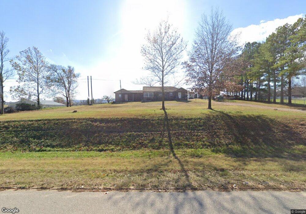
5731 Highway 62 E Green Forest, AR 72638
Estimated Value: $146,000 - $241,000
2
Beds
2
Baths
1,464
Sq Ft
$132/Sq Ft
Est. Value
About This Home
This home is located at 5731 Highway 62 E, Green Forest, AR 72638 and is currently estimated at $193,858, approximately $132 per square foot. 5731 Highway 62 E is a home located in Carroll County with nearby schools including Green Forest Elementary School, Green Forest Intermed School, and Green Forest High School.
Ownership History
Date
Name
Owned For
Owner Type
Purchase Details
Closed on
Nov 10, 2021
Sold by
Ramirez-Hernandez Diana and Ramirez-Hernandez Jorge
Bought by
Ramirez-Hernandez Jorge
Current Estimated Value
Purchase Details
Closed on
Feb 29, 2016
Bought by
Phillips Family Living Trust and %Ramirez-Hernandez Diana L
Home Financials for this Owner
Home Financials are based on the most recent Mortgage that was taken out on this home.
Original Mortgage
$83,395
Interest Rate
4.6%
Mortgage Type
Future Advance Clause Open End Mortgage
Purchase Details
Closed on
Feb 26, 2016
Sold by
Phillips Rita Mae and Phillips Family Living Trust
Bought by
Ramirez Hernandez Diana Laura Ramirez and Ramirez Hernandez Jorge
Home Financials for this Owner
Home Financials are based on the most recent Mortgage that was taken out on this home.
Original Mortgage
$83,395
Interest Rate
4.6%
Mortgage Type
Future Advance Clause Open End Mortgage
Create a Home Valuation Report for This Property
The Home Valuation Report is an in-depth analysis detailing your home's value as well as a comparison with similar homes in the area
Home Values in the Area
Average Home Value in this Area
Purchase History
| Date | Buyer | Sale Price | Title Company |
|---|---|---|---|
| Ramirez-Hernandez Jorge | -- | None Listed On Document | |
| Phillips Family Living Trust | -- | -- | |
| Ramirez Hernandez Diana Laura Ramirez | $45,000 | Kings River Title |
Source: Public Records
Mortgage History
| Date | Status | Borrower | Loan Amount |
|---|---|---|---|
| Previous Owner | Ramirez Hernandez Diana Laura Ramirez | $83,395 |
Source: Public Records
Tax History Compared to Growth
Tax History
| Year | Tax Paid | Tax Assessment Tax Assessment Total Assessment is a certain percentage of the fair market value that is determined by local assessors to be the total taxable value of land and additions on the property. | Land | Improvement |
|---|---|---|---|---|
| 2024 | $1,331 | $27,440 | $4,500 | $22,940 |
| 2023 | $1,324 | $27,440 | $4,500 | $22,940 |
| 2022 | $799 | $27,440 | $4,500 | $22,940 |
| 2021 | $728 | $22,750 | $3,600 | $19,150 |
| 2020 | $728 | $22,750 | $3,600 | $19,150 |
| 2019 | $328 | $14,130 | $1,660 | $12,470 |
| 2018 | $308 | $13,200 | $1,660 | $11,540 |
| 2017 | $308 | $13,200 | $1,660 | $11,540 |
| 2016 | $308 | $13,560 | $1,660 | $11,900 |
Source: Public Records
Map
Nearby Homes
- TBD Lot 8 Red Bud St
- TBD Lot 7 Red Bud St
- TBD Lot 6 Red Bud St
- TBD Lot 5 Red Bud St
- TBD Lot 3 Red Bud St
- TBD Lot 3,5,6,7 & 8 Red Bud St
- 504 W 6th St
- Lot 4 Cr-906
- 16078 (100 AC) Arkansas 311
- 14889 Arkansas 311
- 709 Carroll Ave
- 608 Apple St
- 604 Rainbow Place
- 201 County Road 632
- 825-00623-021 (to be Forest Ave
- 906 Enterprise Ave
- 909 Enterprise Ave
- 41 County Road 617
- 144-00009-001 Cr 993
- TBD Cr 993
- 5731 U S 62
- 5687 Highway 62 E
- 5839 Highway 62 E
- 5790 Highway 62 E
- 5790 Highway 62 E
- 5685 Highway 62 E
- 107 Redbud St
- 107 Red Bud St
- 5588 Highway 62 E
- 104 Oak Ave
- 102 Oak Ave
- 200 Oak Ave
- 100 Locust Ave
- 102 Locust Ave
- 104 Locust Ave
- 43 Redbud St
- 202 Locust Ave
- 204 Locust Ave
- 105 Locust Ave
- 203 Locust Ave