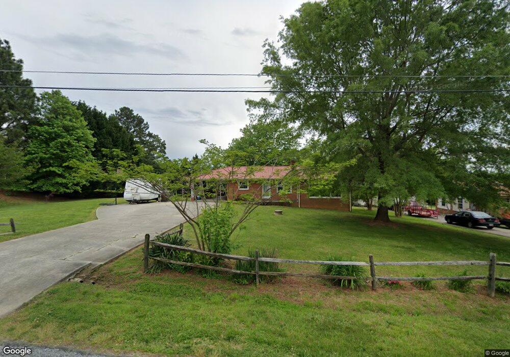
5731 Joan Dr High Point, NC 27263
Estimated Value: $211,975 - $263,000
Studio
2
Baths
1,146
Sq Ft
$211/Sq Ft
Est. Value
About This Home
This home is located at 5731 Joan Dr, High Point, NC 27263 and is currently estimated at $241,744, approximately $210 per square foot. 5731 Joan Dr is a home located in Randolph County with nearby schools including Archdale Elementary School, Wheatmore Middle School, and Trinity High School.
Ownership History
Date
Name
Owned For
Owner Type
Purchase Details
Closed on
Apr 14, 2025
Sold by
Smith Ronald Gray and Smith Cynthia Louise
Bought by
Abood Esam A
Current Estimated Value
Purchase Details
Closed on
Sep 11, 2020
Sold by
Peace Gerald and Peace Carol
Bought by
Smith Cynthia Hill and Smith Ronald
Home Financials for this Owner
Home Financials are based on the most recent Mortgage that was taken out on this home.
Original Mortgage
$114,000
Interest Rate
2.9%
Mortgage Type
New Conventional
Purchase Details
Closed on
Mar 2, 2001
Bought by
Peace Gerald Craig Nealey Carol
Create a Home Valuation Report for This Property
The Home Valuation Report is an in-depth analysis detailing your home's value as well as a comparison with similar homes in the area
Home Values in the Area
Average Home Value in this Area
Purchase History
| Date | Buyer | Sale Price | Title Company |
|---|---|---|---|
| Abood Esam A | $225,000 | None Listed On Document | |
| Abood Esam A | $225,000 | None Listed On Document | |
| Smith Cynthia Hill | $114,000 | None Available | |
| Peace Gerald Craig Nealey Carol | $97,000 | -- |
Source: Public Records
Mortgage History
| Date | Status | Borrower | Loan Amount |
|---|---|---|---|
| Previous Owner | Smith Cynthia Hill | $114,000 |
Source: Public Records
Tax History
| Year | Tax Paid | Tax Assessment Tax Assessment Total Assessment is a certain percentage of the fair market value that is determined by local assessors to be the total taxable value of land and additions on the property. | Land | Improvement |
|---|---|---|---|---|
| 2025 | $1,411 | $169,890 | $36,170 | $133,720 |
| 2024 | $1,394 | $169,890 | $36,170 | $133,720 |
| 2023 | $1,394 | $169,890 | $36,170 | $133,720 |
| 2022 | $1,126 | $115,480 | $21,350 | $94,130 |
| 2021 | $1,126 | $115,480 | $21,350 | $94,130 |
| 2020 | $1,090 | $112,600 | $21,350 | $91,250 |
| 2019 | $1,090 | $112,600 | $21,350 | $91,250 |
| 2018 | $1,026 | $102,770 | $21,350 | $81,420 |
| 2016 | $1,001 | $102,769 | $21,350 | $81,419 |
| 2015 | $1,004 | $102,769 | $21,350 | $81,419 |
| 2014 | $1,004 | $102,769 | $21,350 | $81,419 |
Source: Public Records
Map
Nearby Homes
- 5491 Rock Valley Dr
- 207 Naola Ct
- 5463 Rock Valley Dr
- 5471 Rock Valley Dr
- 5756 Siler St
- 5714 Siler St
- 5880 Oak Knoll Dr
- 5450 Rock Valley Dr
- Cypress Plan at Cottages at Piper Village
- Brevard Plan at Cottages at Piper Village
- Drexel Plan at Cottages at Piper Village
- Blue Satin Sashes Plan at Spring Valley
- Raindrops on Roses Plan at Spring Valley
- Doorbells and Sleighbells Plan at Spring Valley
- Brown Paper Packages Plan at Spring Valley
- 5595 Rockford Dr
- 5441 Uwharrie Rd
- 2808 Uwharrie Rd
- 5679 Carrington Ct
- 1111 Victory Dr
Your Personal Tour Guide
Ask me questions while you tour the home.