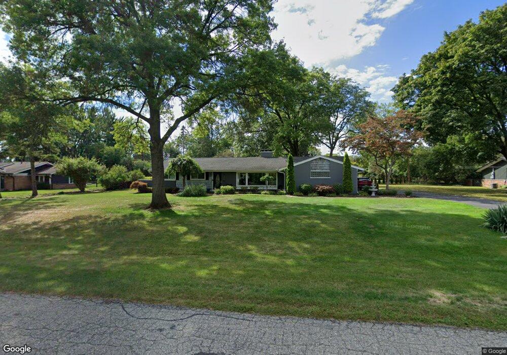
5732 Blandford Rd Bloomfield Hills, MI 48302
Estimated Value: $458,337 - $556,000
3
Beds
2
Baths
1,743
Sq Ft
$290/Sq Ft
Est. Value
About This Home
This home is located at 5732 Blandford Rd, Bloomfield Hills, MI 48302 and is currently estimated at $505,834, approximately $290 per square foot. 5732 Blandford Rd is a home located in Oakland County with nearby schools including Conant Elementary School, South Hills Middle School, and Bloomfield Hills High School.
Ownership History
Date
Name
Owned For
Owner Type
Purchase Details
Closed on
Jan 5, 2000
Sold by
Kostello Geraldine A
Bought by
Suhajda Kavin M
Current Estimated Value
Home Financials for this Owner
Home Financials are based on the most recent Mortgage that was taken out on this home.
Original Mortgage
$165,000
Outstanding Balance
$53,371
Interest Rate
8.08%
Estimated Equity
$452,463
Purchase Details
Closed on
Jan 15, 1997
Sold by
Kostello Ronald Thomas
Bought by
Kostello Geraldine Annette
Create a Home Valuation Report for This Property
The Home Valuation Report is an in-depth analysis detailing your home's value as well as a comparison with similar homes in the area
Home Values in the Area
Average Home Value in this Area
Purchase History
| Date | Buyer | Sale Price | Title Company |
|---|---|---|---|
| Suhajda Kavin M | $210,000 | -- | |
| Kostello Geraldine Annette | -- | -- |
Source: Public Records
Mortgage History
| Date | Status | Borrower | Loan Amount |
|---|---|---|---|
| Open | Suhajda Kavin M | $165,000 |
Source: Public Records
Tax History Compared to Growth
Tax History
| Year | Tax Paid | Tax Assessment Tax Assessment Total Assessment is a certain percentage of the fair market value that is determined by local assessors to be the total taxable value of land and additions on the property. | Land | Improvement |
|---|---|---|---|---|
| 2024 | $1,726 | $206,520 | $0 | $0 |
| 2023 | $1,671 | $175,460 | $0 | $0 |
| 2022 | $3,873 | $168,690 | $0 | $0 |
| 2021 | $3,898 | $156,290 | $0 | $0 |
| 2020 | $1,528 | $152,410 | $0 | $0 |
| 2019 | $3,608 | $148,870 | $0 | $0 |
| 2018 | $3,628 | $141,840 | $0 | $0 |
| 2017 | $3,145 | $138,010 | $0 | $0 |
| 2016 | $3,146 | $131,730 | $0 | $0 |
| 2015 | -- | $110,350 | $0 | $0 |
| 2014 | -- | $93,440 | $0 | $0 |
| 2011 | -- | $68,680 | $0 | $0 |
Source: Public Records
Map
Nearby Homes
- 5630 S Adams Way
- 5741 Snowshoe Cir
- 6360 Hills Dr
- 5904 Wing Lake Rd
- 5129 Woodlands Ln
- 5137 Woodlands Dr Unit 24
- 750 Trailwood Path Unit B
- 450 Billingsgate Ct Unit C
- 1760 Trailwood Path
- 6450 Gilbert Lake Rd
- 5361 Echo Rd
- 00 Telegraph Rd
- 0 Telegraph Rd
- 5080 Tootmoor Rd
- 5100 Kings Gate Way
- 5008 Kings Gate Way
- 6660 Woodbank Dr
- 6572 Spruce Dr
- 5825 Lahser Rd
- 3546 Bloomfield Club Dr
- 5763 Burnham Rd
- 5716 Blandford Rd
- 5748 Blandford Rd
- 5731 Burnham Rd
- 5791 Burnham Rd
- 5741 Blandford Rd
- 4007 Quarton Rd
- 4007 Quarton Rd
- 5719 Blandford Rd
- 5764 Blandford Rd
- 5762 Burnham Rd
- 5833 Burnham Rd
- 5759 Blandford Rd
- 5893 Burnham Rd
- 5788 Burnham Rd
- 4019 Quarton Rd
- 5799 Blandford New Build
- 4007 Quarton Crt
- 5799 Blandford Ct
- 5820 Burnham Rd