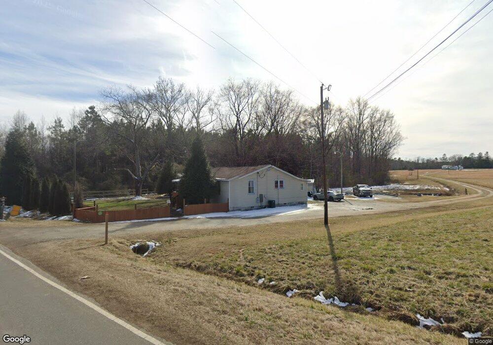
5733 Nc Highway 96 Oxford, NC 27565
Estimated Value: $96,000 - $195,000
3
Beds
1
Bath
1,064
Sq Ft
$152/Sq Ft
Est. Value
About This Home
This home is located at 5733 Nc Highway 96, Oxford, NC 27565 and is currently estimated at $161,667, approximately $151 per square foot. 5733 Nc Highway 96 is a home located in Granville County with nearby schools including West Oxford Elementary School, Northern Granville Middle School, and J.F. Webb High School.
Ownership History
Date
Name
Owned For
Owner Type
Purchase Details
Closed on
Nov 1, 2017
Sold by
Granville Property Llc
Bought by
Lorenzo Victor
Current Estimated Value
Purchase Details
Closed on
Dec 19, 2008
Sold by
The Bank Of America
Bought by
Granville Property Llc
Purchase Details
Closed on
Jun 27, 2008
Sold by
Brown Magnolia
Bought by
Bank Of New York
Purchase Details
Closed on
Aug 3, 2007
Sold by
Smith Michael O and Smith Laverne W
Bought by
Hunter Magnolia Brown
Home Financials for this Owner
Home Financials are based on the most recent Mortgage that was taken out on this home.
Original Mortgage
$74,250
Interest Rate
12.4%
Mortgage Type
Adjustable Rate Mortgage/ARM
Create a Home Valuation Report for This Property
The Home Valuation Report is an in-depth analysis detailing your home's value as well as a comparison with similar homes in the area
Home Values in the Area
Average Home Value in this Area
Purchase History
| Date | Buyer | Sale Price | Title Company |
|---|---|---|---|
| Lorenzo Victor | $41,000 | None Available | |
| Granville Property Llc | $14,000 | -- | |
| Bank Of New York | $17,000 | -- | |
| Hunter Magnolia Brown | $82,500 | -- |
Source: Public Records
Mortgage History
| Date | Status | Borrower | Loan Amount |
|---|---|---|---|
| Previous Owner | Hunter Magnolia Brown | $74,250 |
Source: Public Records
Tax History Compared to Growth
Tax History
| Year | Tax Paid | Tax Assessment Tax Assessment Total Assessment is a certain percentage of the fair market value that is determined by local assessors to be the total taxable value of land and additions on the property. | Land | Improvement |
|---|---|---|---|---|
| 2025 | $350 | $42,818 | $13,291 | $29,527 |
| 2024 | $350 | $42,818 | $13,291 | $29,527 |
| 2023 | $347 | $25,510 | $9,114 | $16,396 |
| 2022 | $261 | $25,510 | $9,114 | $16,396 |
| 2021 | $240 | $25,510 | $9,114 | $16,396 |
| 2020 | $240 | $25,510 | $9,114 | $16,396 |
| 2019 | $240 | $25,510 | $9,114 | $16,396 |
| 2018 | $240 | $25,510 | $9,114 | $16,396 |
| 2016 | $282 | $29,073 | $9,114 | $19,959 |
| 2015 | $328 | $29,073 | $9,114 | $19,959 |
| 2014 | $328 | $29,073 | $9,114 | $19,959 |
| 2013 | -- | $29,073 | $9,114 | $19,959 |
Source: Public Records
Map
Nearby Homes
- 616 Roxboro Rd
- 127 Daniel St
- 103 Alston Ct
- 609 N Country Club Dr
- 200 W Westbury Dr
- 316 Keeneland Dr
- 735 Baker St
- 6063 N Carolina 96
- 204 Cardinal Ct
- 206 Cardinal Ct
- 722 Baker St
- 611 College St
- 511 Broad St
- 410 College St
- 6049 Mulberry Ln
- 114 Hays St
- 96 North St
- 300 Coleman St
- 112 Rectory St
- 214 College St
- 5733 State Highway 96
- 5738 Nc Highway 96
- 5732 Nc Highway 96
- 5732 State Highway 96
- 5742 Nc Highway 96
- 5747 Nc Highway 96
- 96 Highway N
- 1312 Goshen St
- 1310 Goshen St
- 5754 Nc Highway 96
- 5757 Nc Highway 96
- 5757 Nc Highway 96
- 1306 Goshen St
- 5756 Nc Highway 96
- 5735 Nc Highway 96
- 1300 Goshen St
- 6003 Nc Highway 96
- 6008 Nc Highway 96
- 6008 Nc Highway 96
- 628 Roxboro Rd