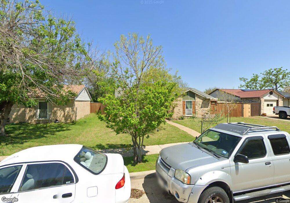
5733 Perrin St the Colony, TX 75056
Estimated Value: $253,582 - $338,000
2
Beds
1
Bath
950
Sq Ft
$302/Sq Ft
Est. Value
About This Home
This home is located at 5733 Perrin St, the Colony, TX 75056 and is currently estimated at $287,146, approximately $302 per square foot. 5733 Perrin St is a home located in Denton County with nearby schools including B B Owen Elementary School, Griffin Middle School, and The Colony High School.
Ownership History
Date
Name
Owned For
Owner Type
Purchase Details
Closed on
Nov 3, 2005
Sold by
Plassmeyer Leslie R
Bought by
Girado Jorge and Rodriguez Nelly
Current Estimated Value
Home Financials for this Owner
Home Financials are based on the most recent Mortgage that was taken out on this home.
Original Mortgage
$65,200
Outstanding Balance
$35,418
Interest Rate
5.9%
Mortgage Type
Fannie Mae Freddie Mac
Estimated Equity
$251,728
Purchase Details
Closed on
Jun 29, 2001
Sold by
Parkhouse Danille and Parkhouse David
Bought by
Plassmeyer Leslie R
Home Financials for this Owner
Home Financials are based on the most recent Mortgage that was taken out on this home.
Original Mortgage
$99,350
Interest Rate
10.75%
Purchase Details
Closed on
Jun 21, 2000
Sold by
Ramsey Danielle Rene
Bought by
Parkhouse Danielle and Parkhouse David
Home Financials for this Owner
Home Financials are based on the most recent Mortgage that was taken out on this home.
Original Mortgage
$50,100
Interest Rate
13%
Mortgage Type
Credit Line Revolving
Purchase Details
Closed on
Oct 18, 1995
Sold by
Ramsey Scott
Bought by
Ramsey Danielle Rene
Purchase Details
Closed on
Jun 9, 1995
Sold by
Weeks Thomas I and Weeks Angelica M
Bought by
Ramsey Troy S and Ramsey Danielle R
Home Financials for this Owner
Home Financials are based on the most recent Mortgage that was taken out on this home.
Original Mortgage
$49,927
Interest Rate
8.17%
Mortgage Type
Seller Take Back
Create a Home Valuation Report for This Property
The Home Valuation Report is an in-depth analysis detailing your home's value as well as a comparison with similar homes in the area
Home Values in the Area
Average Home Value in this Area
Purchase History
| Date | Buyer | Sale Price | Title Company |
|---|---|---|---|
| Girado Jorge | -- | Rtt | |
| Plassmeyer Leslie R | -- | -- | |
| Parkhouse Danielle | -- | -- | |
| Ramsey Danielle Rene | -- | -- | |
| Ramsey Troy S | -- | -- |
Source: Public Records
Mortgage History
| Date | Status | Borrower | Loan Amount |
|---|---|---|---|
| Open | Girado Jorge | $65,200 | |
| Previous Owner | Plassmeyer Leslie R | $99,350 | |
| Previous Owner | Parkhouse Danielle | $50,100 | |
| Previous Owner | Ramsey Troy S | $49,927 |
Source: Public Records
Tax History Compared to Growth
Tax History
| Year | Tax Paid | Tax Assessment Tax Assessment Total Assessment is a certain percentage of the fair market value that is determined by local assessors to be the total taxable value of land and additions on the property. | Land | Improvement |
|---|---|---|---|---|
| 2025 | $908 | $219,691 | $71,610 | $153,012 |
| 2024 | $3,876 | $199,719 | $0 | $0 |
| 2023 | $908 | $181,563 | $61,380 | $171,740 |
| 2022 | $3,465 | $165,057 | $61,380 | $145,509 |
| 2021 | $3,342 | $152,832 | $47,740 | $105,092 |
| 2020 | $3,032 | $136,411 | $47,740 | $102,464 |
| 2019 | $2,847 | $124,010 | $47,740 | $105,919 |
| 2018 | $2,605 | $112,736 | $47,740 | $93,336 |
| 2017 | $2,394 | $102,487 | $35,464 | $86,523 |
| 2016 | $1,289 | $93,170 | $35,464 | $74,031 |
| 2015 | $1,219 | $84,700 | $19,437 | $72,599 |
| 2013 | -- | $72,993 | $19,437 | $53,556 |
Source: Public Records
Map
Nearby Homes
- 5841 Baker Dr
- 5621 Woodlands Dr
- 5617 Woodlands Dr
- 5613 Woodlands Dr
- 6605 Oxford Ln
- 5800 Legend Ln
- 5612 Pearce St
- 5632 Westwood Ln
- 5633 Westwood Ln
- 7020 Northpointe Ct
- 5728 Big River Dr
- 5713 Green Hollow Ln
- 5912 Madison Dr
- 5605 Overland Dr
- 6621 Autumn Trail
- 5529 Gates Dr
- 5528 King Dr
- 5500 Slay Dr
- 5512 Gates Dr
- 5548 Rice Dr