5734 Airport Dr Pulaski, WI 54162
Estimated Value: $287,321 - $351,000
--
Bed
--
Bath
--
Sq Ft
4
Acres
About This Home
This home is located at 5734 Airport Dr, Pulaski, WI 54162 and is currently estimated at $318,440. 5734 Airport Dr is a home located in Brown County with nearby schools including Lannoye Elementary School, Pulaski Community Middle School, and Pulaski High School.
Ownership History
Date
Name
Owned For
Owner Type
Purchase Details
Closed on
Jan 13, 2006
Sold by
Schrickel Steven P
Bought by
Herning Michael B and Herning Julie B
Current Estimated Value
Home Financials for this Owner
Home Financials are based on the most recent Mortgage that was taken out on this home.
Original Mortgage
$150,000
Interest Rate
6.2%
Mortgage Type
Fannie Mae Freddie Mac
Purchase Details
Closed on
Aug 1, 2002
Sold by
Delebreau Albert and Delebreau Rita
Bought by
Vandenelzen David J and Vandenelzen Patricia L
Home Financials for this Owner
Home Financials are based on the most recent Mortgage that was taken out on this home.
Original Mortgage
$55,187
Interest Rate
6.7%
Mortgage Type
Seller Take Back
Create a Home Valuation Report for This Property
The Home Valuation Report is an in-depth analysis detailing your home's value as well as a comparison with similar homes in the area
Home Values in the Area
Average Home Value in this Area
Purchase History
| Date | Buyer | Sale Price | Title Company |
|---|---|---|---|
| Herning Michael B | $150,000 | Bay Title & Abstract Inc | |
| Vandenelzen David J | -- | -- |
Source: Public Records
Mortgage History
| Date | Status | Borrower | Loan Amount |
|---|---|---|---|
| Previous Owner | Herning Michael B | $150,000 | |
| Previous Owner | Vandenelzen David J | $55,187 |
Source: Public Records
Tax History Compared to Growth
Tax History
| Year | Tax Paid | Tax Assessment Tax Assessment Total Assessment is a certain percentage of the fair market value that is determined by local assessors to be the total taxable value of land and additions on the property. | Land | Improvement |
|---|---|---|---|---|
| 2024 | $2,412 | $220,300 | $50,700 | $169,600 |
| 2023 | $2,237 | $147,000 | $37,600 | $109,400 |
| 2022 | $1,972 | $147,100 | $37,700 | $109,400 |
| 2021 | $1,846 | $147,100 | $37,700 | $109,400 |
| 2020 | $1,978 | $147,000 | $37,600 | $109,400 |
| 2019 | $1,860 | $116,300 | $24,600 | $91,700 |
| 2018 | $1,851 | $115,700 | $24,000 | $91,700 |
| 2017 | $1,875 | $115,700 | $24,000 | $91,700 |
| 2016 | $1,898 | $115,700 | $24,000 | $91,700 |
| 2015 | $1,974 | $116,300 | $24,600 | $91,700 |
| 2014 | $1,824 | $116,300 | $24,600 | $91,700 |
| 2013 | $1,824 | $116,300 | $24,600 | $91,700 |
Source: Public Records
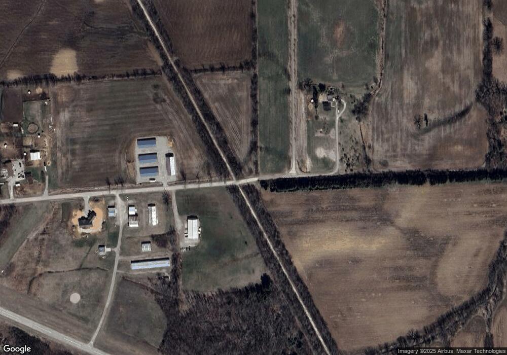
Map
Nearby Homes
- 0 Hwy 32 Unit 50298587
- 838 Sharon Ln
- 1235 Putnam Dr
- 1240 Putnam Dr
- 1243 Putnam Dr
- 1236 Putnam Dr
- 1232 Putnam Dr
- 1026 Pelican Dr
- 1018 Pelican Dr
- 1010 Pelican Dr
- 1002 Pelican Dr
- 843 Redhawk Dr
- 381 Falcon Dr
- 192 Whimbrel Ct
- N3879 Wisconsin 32
- 380 Wisconsin 32
- 233 S Wisconsin St
- 8478 N Brown County Line Rd
- 139 Memorial Dr
- 0 E Pulaski St
- 5760 Airport Dr
- 5877 Airport Dr
- 5550 Norway Dr
- 5794 Hawthorne Dr
- 5645 Norway Dr
- 5762 Hawthorne Dr
- 5483 Norway Dr
- 3872 Norway Ct
- 0 Hawthorne Dr Unit 50276817
- 0 Hawthorne Dr Unit 50276816
- 0 Hawthorne Dr Unit 50276814
- 0 Hawthorne Dr Unit 50276813
- 0 Hawthorne Dr Unit 50251864
- 0 Hawthorne Dr Unit 50251863
- 0 Hawthorne Dr Unit 50251862
- 0 Hawthorne Dr
- 3922 Norway Ct
- 3900 Norway Ct
- 3919 Norway Ct
- 0 Norway Ct