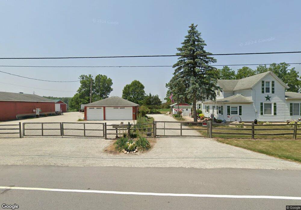
57369 Pear Rd South Bend, IN 46619
Estimated Value: $243,000 - $490,505
4
Beds
1
Bath
2,092
Sq Ft
$168/Sq Ft
Est. Value
About This Home
This home is located at 57369 Pear Rd, South Bend, IN 46619 and is currently estimated at $350,502, approximately $167 per square foot. 57369 Pear Rd is a home located in St. Joseph County with nearby schools including Paton-Churdan Elementary School, Wilson Elementary School, and Clay Intermediate Center.
Ownership History
Date
Name
Owned For
Owner Type
Purchase Details
Closed on
Nov 4, 2022
Sold by
Wroblewski James J
Bought by
Wroblewski James J and Wroblewski Cheryl M
Current Estimated Value
Purchase Details
Closed on
Oct 19, 2022
Sold by
Wroblewski James J
Bought by
Wroblewski James J and Wroblewski Cheryl M
Purchase Details
Closed on
Dec 22, 2010
Sold by
Wroblewski James J and Wroblewski Mary J
Bought by
Matthys Randall A and Matthys Theresa A
Purchase Details
Closed on
Oct 26, 2009
Sold by
Wroblewski James J
Bought by
Wroblewski James J and Wroblewski Mary J
Create a Home Valuation Report for This Property
The Home Valuation Report is an in-depth analysis detailing your home's value as well as a comparison with similar homes in the area
Home Values in the Area
Average Home Value in this Area
Purchase History
| Date | Buyer | Sale Price | Title Company |
|---|---|---|---|
| Wroblewski James J | -- | -- | |
| Wroblewski James J | -- | None Listed On Document | |
| Matthys Randall A | -- | Meridian Title Corp | |
| Wroblewski James J | -- | None Available |
Source: Public Records
Tax History Compared to Growth
Tax History
| Year | Tax Paid | Tax Assessment Tax Assessment Total Assessment is a certain percentage of the fair market value that is determined by local assessors to be the total taxable value of land and additions on the property. | Land | Improvement |
|---|---|---|---|---|
| 2024 | $4,052 | $287,100 | $157,200 | $129,900 |
| 2023 | $4,779 | $287,900 | $157,100 | $130,800 |
| 2022 | $4,779 | $273,400 | $142,400 | $131,000 |
| 2021 | $3,166 | $177,700 | $70,400 | $107,300 |
| 2020 | $3,177 | $178,400 | $70,000 | $108,400 |
| 2019 | $2,923 | $192,600 | $82,100 | $110,500 |
| 2018 | $3,197 | $194,900 | $84,200 | $110,700 |
| 2017 | $3,584 | $204,700 | $94,500 | $110,200 |
| 2016 | $3,791 | $211,800 | $99,200 | $112,600 |
| 2014 | $3,946 | $216,400 | $103,300 | $113,100 |
Source: Public Records
Map
Nearby Homes
- 26541 Gaited Horse Trail
- 57223 Pine Needle Ct
- 57210 White Pine Trail
- 57115 White Pine Trail
- 27180 Harrison Rd
- 56451 Quince Rd
- 57248 Mcquade St
- 57860 Crumstown Hwy
- 57195 Pinewood Dr
- 55629 Cardinal Dr
- 26366 Hummingbird Rd
- 56435 Eastlea Dr
- 55915 Dorn St
- 54962 Quince Rd
- 56915 Tulip Rd
- 56803 Tulip Rd
- 25260 Fillmore Rd
- 56729 Tulip Rd
- 56659 Tulip Rd
- 56611 Tulip Rd
- 57436 Pear Rd
- 57358 Pear Rd
- 57424 Pear Rd
- 57325 Pear Rd
- 57324 Pear Rd
- 57485 Pear Rd
- 57458 Pear Rd
- 57292 Pear Rd
- 57510 Pear Rd
- LOT 3 Pear Rd
- LOT 4 Pear Rd
- 57239 Pear Rd
- 57521 Pear Rd
- 26625 Gaited Horse Trail
- 57244 Pear Rd
- 26529 Gaited Horse Trail
- 26581 Gaited Horse Trail
- 57222 Pear Rd
- 57373 Nature Trail
- 26632 Gaited Horse Trail