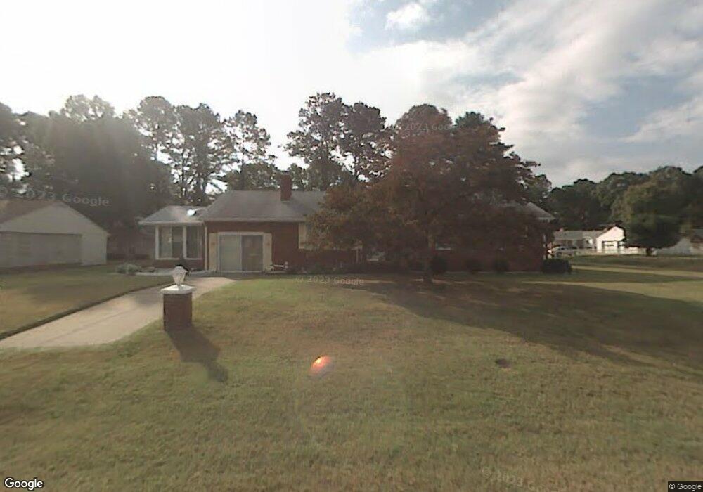
5737 Hawthorne Ln Portsmouth, VA 23703
Churchland NeighborhoodEstimated Value: $301,000 - $354,952
3
Beds
2
Baths
1,776
Sq Ft
$184/Sq Ft
Est. Value
About This Home
This home is located at 5737 Hawthorne Ln, Portsmouth, VA 23703 and is currently estimated at $326,488, approximately $183 per square foot. 5737 Hawthorne Ln is a home located in Portsmouth City with nearby schools including Churchland Primary/Intermediate School, Churchland Middle School, and Churchland High School.
Ownership History
Date
Name
Owned For
Owner Type
Purchase Details
Closed on
Jun 20, 2017
Sold by
Woodard Catherine G
Bought by
Stables David D
Current Estimated Value
Home Financials for this Owner
Home Financials are based on the most recent Mortgage that was taken out on this home.
Original Mortgage
$161,716
Outstanding Balance
$135,471
Interest Rate
4.37%
Mortgage Type
FHA
Estimated Equity
$191,017
Create a Home Valuation Report for This Property
The Home Valuation Report is an in-depth analysis detailing your home's value as well as a comparison with similar homes in the area
Home Values in the Area
Average Home Value in this Area
Purchase History
| Date | Buyer | Sale Price | Title Company |
|---|---|---|---|
| Stables David D | $164,700 | Attorney |
Source: Public Records
Mortgage History
| Date | Status | Borrower | Loan Amount |
|---|---|---|---|
| Open | Stables David D | $161,716 |
Source: Public Records
Tax History Compared to Growth
Tax History
| Year | Tax Paid | Tax Assessment Tax Assessment Total Assessment is a certain percentage of the fair market value that is determined by local assessors to be the total taxable value of land and additions on the property. | Land | Improvement |
|---|---|---|---|---|
| 2025 | $3,923 | $310,790 | $94,500 | $216,290 |
| 2024 | $3,923 | $305,010 | $94,500 | $210,510 |
| 2023 | $3,596 | $287,670 | $94,500 | $193,170 |
| 2022 | $3,479 | $267,580 | $78,750 | $188,830 |
| 2021 | $3,017 | $232,100 | $63,500 | $168,600 |
| 2020 | $2,978 | $229,080 | $60,480 | $168,600 |
| 2019 | $2,959 | $227,640 | $60,480 | $167,160 |
| 2018 | $2,959 | $227,640 | $60,480 | $167,160 |
| 2017 | $2,959 | $227,640 | $60,480 | $167,160 |
| 2016 | $2,959 | $227,640 | $60,480 | $167,160 |
| 2015 | $2,959 | $227,640 | $60,480 | $167,160 |
| 2014 | $2,882 | $226,930 | $60,480 | $166,450 |
Source: Public Records
Map
Nearby Homes
- 5728 Hawthorne Ln
- 4232 Summerset Dr
- 4224 Burnham Dr
- 5833 Hawthorne Ln
- 5606 Gregory Ct
- 4200 Quince Rd
- 4444 Southampton Arch
- 4028 Swannanoa Dr
- 5693 Rivermill Cir
- 21 Windy Pines Crescent
- 4619 River Shore Rd
- 5807 Dunkin St
- 4100 Mayfair Way
- 8 Compass Ct
- 4008 Oakhurst Rd
- 3433 Willow Breeze Dr
- 17 Shoal Ct
- 4726 River Shore Rd
- 4071 Long Point Blvd
- 3866 Augustine Cir
- 5733 Hawthorne Ln
- 5732 Barberry Ln
- 5801 Hawthorne Ln
- 5728 Barberry Ln
- 5729 Hawthorne Ln
- 5736 Hawthorne Ln
- 5732 Hawthorne Ln
- 5800 Barberry Ln
- 5800 Hawthorne Ln
- 5724 Barberry Ln
- 5805 Hawthorne Ln
- 5725 Hawthorne Ln
- 5804 Hawthorne Ln
- 5804 Barberry Ln
- 5724 Hawthorne Ln Unit Detached 2 Car Garag
- 5724 Hawthorne Ln
- 5733 Barberry Ln
- 5737 Barberry Ln
- 5720 Barberry Ln
- 5809 Hawthorne Ln