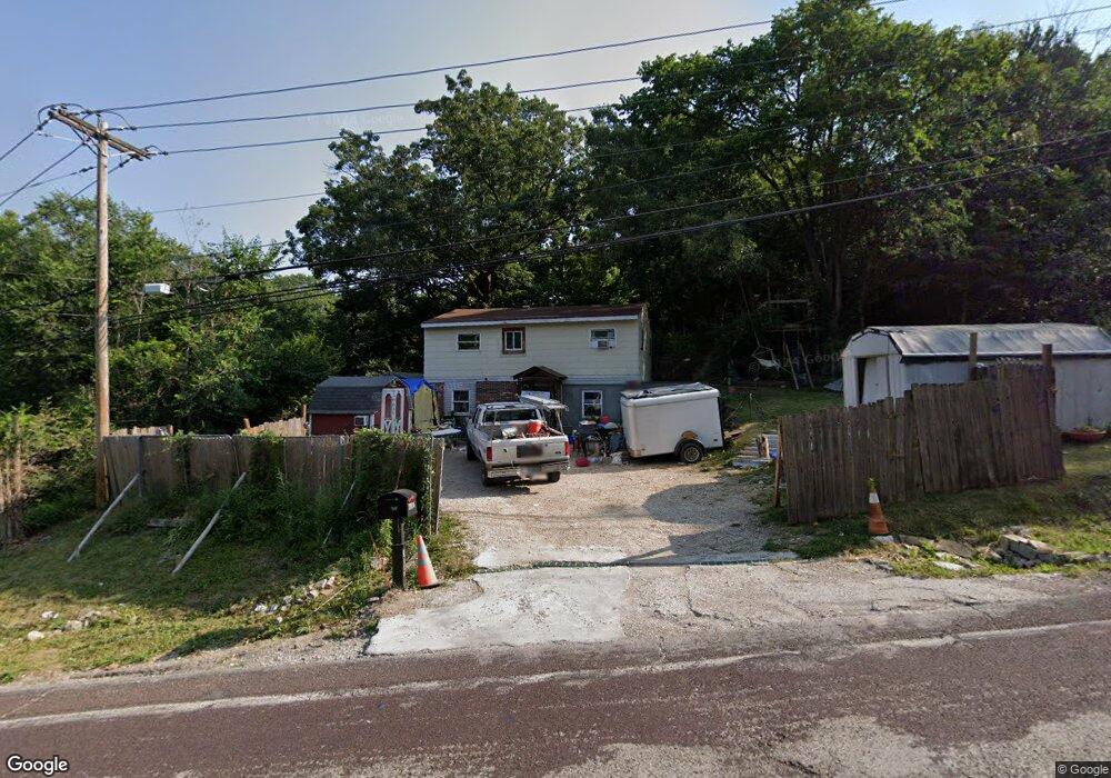
5737 Highway Pp High Ridge, MO 63049
Estimated Value: $102,937 - $207,000
Studio
--
Bath
1,100
Sq Ft
$163/Sq Ft
Est. Value
About This Home
This home is located at 5737 Highway Pp, High Ridge, MO 63049 and is currently estimated at $178,984, approximately $162 per square foot. 5737 Highway Pp is a home with nearby schools including Northwest High School and St. Anthony School.
Ownership History
Date
Name
Owned For
Owner Type
Purchase Details
Closed on
Jun 16, 2005
Sold by
Crum Billie and Crum Gracelin R
Bought by
Crum Gracelin R and Gracelin R Crum Revocable Trus
Current Estimated Value
Purchase Details
Closed on
Nov 24, 2004
Sold by
Crum Gracelin R
Bought by
Crum Billie R and Crum Gracelin R
Home Financials for this Owner
Home Financials are based on the most recent Mortgage that was taken out on this home.
Original Mortgage
$70,400
Interest Rate
5.68%
Mortgage Type
New Conventional
Create a Home Valuation Report for This Property
The Home Valuation Report is an in-depth analysis detailing your home's value as well as a comparison with similar homes in the area
Home Values in the Area
Average Home Value in this Area
Purchase History
| Date | Buyer | Sale Price | Title Company |
|---|---|---|---|
| Crum Gracelin R | -- | None Available | |
| Crum Billie R | -- | -- |
Source: Public Records
Mortgage History
| Date | Status | Borrower | Loan Amount |
|---|---|---|---|
| Closed | Crum Billie R | $70,400 |
Source: Public Records
Tax History
| Year | Tax Paid | Tax Assessment Tax Assessment Total Assessment is a certain percentage of the fair market value that is determined by local assessors to be the total taxable value of land and additions on the property. | Land | Improvement |
|---|---|---|---|---|
| 2025 | $484 | $7,100 | $1,900 | $5,200 |
| 2024 | $484 | $6,700 | $1,900 | $4,800 |
| 2023 | $484 | $6,700 | $1,900 | $4,800 |
| 2022 | $482 | $6,700 | $1,900 | $4,800 |
| 2021 | $479 | $6,700 | $1,900 | $4,800 |
| 2020 | $454 | $6,200 | $1,600 | $4,600 |
| 2019 | $453 | $6,200 | $1,600 | $4,600 |
| 2018 | $459 | $6,200 | $1,600 | $4,600 |
| 2017 | $420 | $6,200 | $1,600 | $4,600 |
| 2016 | $382 | $5,600 | $1,700 | $3,900 |
| 2015 | $393 | $5,600 | $1,700 | $3,900 |
| 2013 | -- | $12,700 | $1,700 | $11,000 |
Source: Public Records
Map
Nearby Homes
- 5800 5800 St Rd Pp
- 5625 Circle Dr
- 3112 Edgewood Dr
- 6099 Timber Hollow Ln
- 6028 Antire Rd
- 2801 High Ridge Blvd
- 9 Amber Ridge Ct
- 3153 Crystal Circle Dr
- 6752 Walnut Valley Dr
- TBD State Route 30
- 2549 Plymouth Dr
- 2540 Plymouth Dr
- 0 Old Gravois Rd
- 6428 Kathy Dr
- 0 3 Lot Blk 2 High Ridge Manor Unit MAR24044893
- 2060 Hillsboro Valley Park Rd
- 2408 Williams Creek Rd
- 5208 Roberta Dr
- 5209 Roberta Dr
- 2955 Greenwood Dr
- 3106 Richard Heights
- 5801 Old Little Antire Rd
- 3107 Richard Heights
- 5733 Brackman Ln
- 3100 Richard Heights
- 5730 Brackman Ln
- 5721 Brackman Ln
- 5717 Brackman Ln
- 2 Dewey Dr
- 5809 Old Little Antire Rd
- 5712 Brackman Ln
- 5709 Hill Dr
- 5808 Old Little Antire Rd
- 3025 Carol Ln
- 5813 Old Little Antire Rd
- 5709 Brackman Ln
- 5704 Brackman Ln
- 5704 Hill Dr
- 3025 Karen Ct
- 5404 Brackman Ln
Your Personal Tour Guide
Ask me questions while you tour the home.