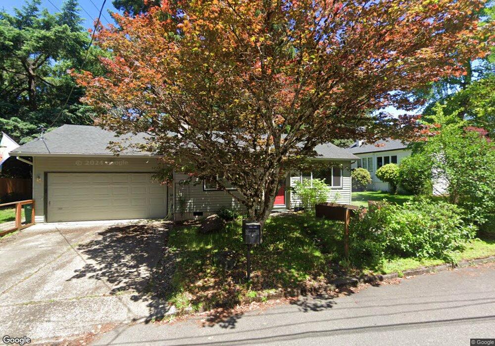
5737 SW Pendleton St Portland, OR 97221
Hayhurst NeighborhoodEstimated Value: $639,000 - $860,000
4
Beds
3
Baths
2,233
Sq Ft
$328/Sq Ft
Est. Value
About This Home
This home is located at 5737 SW Pendleton St, Portland, OR 97221 and is currently estimated at $732,042, approximately $327 per square foot. 5737 SW Pendleton St is a home located in Multnomah County with nearby schools including Hayhurst Elementary School, Robert Gray Middle School, and Ida B. Wells-Barnett High School.
Ownership History
Date
Name
Owned For
Owner Type
Purchase Details
Closed on
Jul 22, 2009
Sold by
Blanchard Bruce and Blanchard Jami
Bought by
West Gabriel C and West Heidi M
Current Estimated Value
Home Financials for this Owner
Home Financials are based on the most recent Mortgage that was taken out on this home.
Original Mortgage
$342,678
Outstanding Balance
$224,993
Interest Rate
5.59%
Mortgage Type
FHA
Estimated Equity
$507,049
Purchase Details
Closed on
May 6, 2003
Sold by
Stocker Kathryn Grace
Bought by
Blanchard Bruce
Home Financials for this Owner
Home Financials are based on the most recent Mortgage that was taken out on this home.
Original Mortgage
$206,100
Interest Rate
8.62%
Mortgage Type
Purchase Money Mortgage
Create a Home Valuation Report for This Property
The Home Valuation Report is an in-depth analysis detailing your home's value as well as a comparison with similar homes in the area
Home Values in the Area
Average Home Value in this Area
Purchase History
| Date | Buyer | Sale Price | Title Company |
|---|---|---|---|
| West Gabriel C | $349,000 | Lawyers Title Insurance Corp | |
| Blanchard Bruce | $229,000 | Fidelity Natl Title Co Of Or |
Source: Public Records
Mortgage History
| Date | Status | Borrower | Loan Amount |
|---|---|---|---|
| Open | West Gabriel C | $342,678 | |
| Previous Owner | Blanchard Bruce | $206,100 |
Source: Public Records
Tax History Compared to Growth
Tax History
| Year | Tax Paid | Tax Assessment Tax Assessment Total Assessment is a certain percentage of the fair market value that is determined by local assessors to be the total taxable value of land and additions on the property. | Land | Improvement |
|---|---|---|---|---|
| 2025 | $11,253 | $418,020 | -- | -- |
| 2024 | $10,849 | $405,850 | -- | -- |
| 2023 | $10,431 | $394,030 | $0 | $0 |
| 2022 | $10,206 | $382,560 | $0 | $0 |
| 2021 | $9,904 | $371,420 | $0 | $0 |
| 2020 | $8,472 | $360,610 | $0 | $0 |
| 2019 | $8,481 | $350,110 | $0 | $0 |
| 2018 | $8,511 | $339,920 | $0 | $0 |
| 2017 | $8,217 | $330,020 | $0 | $0 |
| 2016 | $7,083 | $320,410 | $0 | $0 |
| 2015 | $6,424 | $311,080 | $0 | $0 |
| 2014 | $5,784 | $302,020 | $0 | $0 |
Source: Public Records
Map
Nearby Homes
- 5407 SW 63rd Ave
- 5411 SW Idaho St
- 5810 SW Vermont St
- 5726 SW Florida St
- 5005 SW Mitchell St Unit 3
- 6200 SW Seymour St
- 6770 SW Amber Ln
- 5555 SW Dover Ct
- 4819 SW Beaverton Hillsdale Hwy
- 4823 SW Beaverton Hillsdale Hwy
- 4606 SW Martha St
- 4460 SW Scholls Ferry Rd Unit 24
- 4460 SW Scholls Ferry Rd Unit 3
- 6021 SW 45th Ave
- 4414 SW Semler Way
- 7321 SW 52nd Ave
- 4880 SW Scholls Ferry Rd Unit 32
- 4225 SW 51st Place
- 4255 SW Beaverton Hillsdale Hwy
- 4041 SW 55th Dr
- 5721 SW Pendleton St Unit ST.
- 5721 SW Pendleton St
- 5740 SW Pendleton St
- 5900 SW Shattuck Rd
- 5804 SW 59th Ct
- 5806 SW 59th Ct
- 5715 SW Pendleton St
- 5711 SW Pendleton St
- 5730 SW Shattuck Rd
- 5805 SW 59th Ct
- 5909 SW Shattuck Rd
- 5808 SW 59th Ct
- 5930 SW Shattuck Rd
- 5825 SW 59th Ct
- 5707 SW Pendleton St
- 5815 SW 59th Ct
- 5709 SW Pendleton St
- 5812 SW 59th Ct
- 5905 SW Pendleton Ct
- 5837 SW 59th Ct