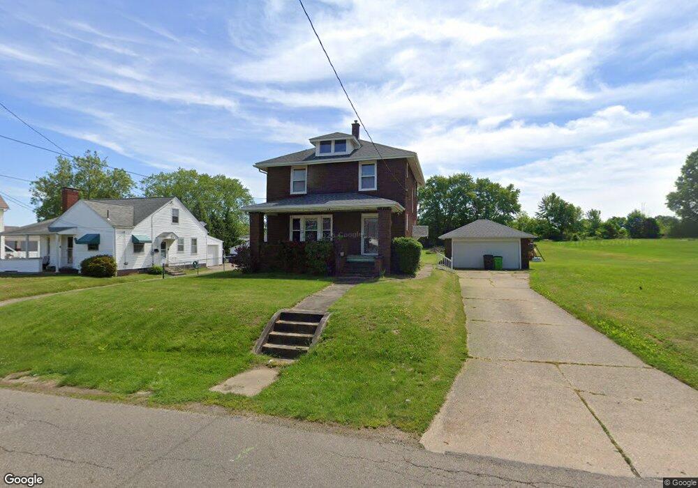
574 29th St NW Massillon, OH 44647
East Brookfield NeighborhoodEstimated Value: $194,000 - $238,000
--
Bed
--
Bath
--
Sq Ft
0.47
Acres
About This Home
This home is located at 574 29th St NW, Massillon, OH 44647 and is currently estimated at $216,000. 574 29th St NW is a home located in Stark County with nearby schools including Massillon Intermediate School, Massillon Junior High School, and Washington High School.
Ownership History
Date
Name
Owned For
Owner Type
Purchase Details
Closed on
Dec 8, 2025
Sold by
Wiggins Daniel G
Bought by
A & A Millers Holdings Llc
Current Estimated Value
Purchase Details
Closed on
Jul 27, 2005
Sold by
Rinder Christopher J and Rinder Leah A
Bought by
Wiggins Daniel G and Wiggins Lori L
Home Financials for this Owner
Home Financials are based on the most recent Mortgage that was taken out on this home.
Original Mortgage
$107,910
Interest Rate
8.05%
Mortgage Type
Fannie Mae Freddie Mac
Purchase Details
Closed on
Feb 7, 1992
Create a Home Valuation Report for This Property
The Home Valuation Report is an in-depth analysis detailing your home's value as well as a comparison with similar homes in the area
Home Values in the Area
Average Home Value in this Area
Purchase History
| Date | Buyer | Sale Price | Title Company |
|---|---|---|---|
| A & A Millers Holdings Llc | $95,000 | None Listed On Document | |
| Wiggins Daniel G | $119,900 | -- | |
| -- | $41,000 | -- |
Source: Public Records
Mortgage History
| Date | Status | Borrower | Loan Amount |
|---|---|---|---|
| Previous Owner | Wiggins Daniel G | $107,910 |
Source: Public Records
Tax History Compared to Growth
Tax History
| Year | Tax Paid | Tax Assessment Tax Assessment Total Assessment is a certain percentage of the fair market value that is determined by local assessors to be the total taxable value of land and additions on the property. | Land | Improvement |
|---|---|---|---|---|
| 2025 | -- | $4,620 | $4,620 | -- |
| 2024 | -- | $4,620 | $4,620 | -- |
| 2023 | $197 | $3,750 | $3,750 | -- |
| 2022 | $197 | $3,750 | $3,750 | $0 |
| 2021 | $200 | $3,750 | $3,750 | $0 |
| 2020 | $173 | $3,050 | $3,050 | $0 |
| 2019 | $170 | $3,050 | $3,050 | $0 |
| 2018 | $169 | $3,050 | $3,050 | $0 |
| 2017 | $158 | $2,660 | $2,660 | $0 |
| 2016 | $161 | $2,660 | $2,660 | $0 |
| 2015 | $159 | $2,660 | $2,660 | $0 |
| 2014 | $158 | $2,560 | $2,560 | $0 |
| 2013 | $79 | $2,560 | $2,560 | $0 |
Source: Public Records
Map
Nearby Homes
- 2790 Lee Ave NW
- 3130 Lincoln Way W
- 3069 Castle West Cir NW
- 2527 Lincoln Way NW
- 123 26th St NW
- 50 26th St NW
- 1303 Bison St NW
- 517 Grosvenor Ave NW
- 540 Carver St NW
- 2488 Carlene Ave SW
- 728 Hillside Place SW
- 12020 Lochwood St SW
- 309 15th St NW
- 101 14th St NW
- 1301 Lincoln Way NW
- 1752 Leslie St NW
- 315 14th St SW
- 2404 Bellevue Ave SW
- 3575 Kenyon Creek Ave NW
- 3564 Kenyon Creek Ave NW