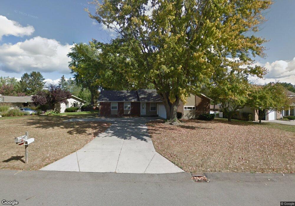
574 Carnoustie Ave SE Grand Rapids, MI 49546
Forest Hills NeighborhoodEstimated Value: $419,054 - $534,000
3
Beds
3
Baths
1,624
Sq Ft
$297/Sq Ft
Est. Value
About This Home
This home is located at 574 Carnoustie Ave SE, Grand Rapids, MI 49546 and is currently estimated at $482,764, approximately $297 per square foot. 574 Carnoustie Ave SE is a home located in Kent County with nearby schools including Collins Elementary School, Northern Trails 5/6 School, and Northern Hills Middle School.
Ownership History
Date
Name
Owned For
Owner Type
Purchase Details
Closed on
Jan 16, 2015
Sold by
Dunn Lila Gwen Olivier
Bought by
Dunn William M
Current Estimated Value
Purchase Details
Closed on
Jun 30, 2004
Sold by
Beasecker Jerry G and Beasecker Lillian A
Bought by
Dunn William M and Dunn Lila G
Home Financials for this Owner
Home Financials are based on the most recent Mortgage that was taken out on this home.
Original Mortgage
$55,000
Outstanding Balance
$27,836
Interest Rate
6.42%
Mortgage Type
Purchase Money Mortgage
Estimated Equity
$454,928
Create a Home Valuation Report for This Property
The Home Valuation Report is an in-depth analysis detailing your home's value as well as a comparison with similar homes in the area
Home Values in the Area
Average Home Value in this Area
Purchase History
| Date | Buyer | Sale Price | Title Company |
|---|---|---|---|
| Dunn William M | -- | None Available | |
| Dunn William M | $201,500 | -- |
Source: Public Records
Mortgage History
| Date | Status | Borrower | Loan Amount |
|---|---|---|---|
| Open | Dunn William M | $55,000 |
Source: Public Records
Tax History Compared to Growth
Tax History
| Year | Tax Paid | Tax Assessment Tax Assessment Total Assessment is a certain percentage of the fair market value that is determined by local assessors to be the total taxable value of land and additions on the property. | Land | Improvement |
|---|---|---|---|---|
| 2025 | $2,268 | $192,600 | $0 | $0 |
| 2024 | $2,268 | $194,700 | $0 | $0 |
| 2023 | $2,169 | $174,800 | $0 | $0 |
| 2022 | $2,931 | $157,200 | $0 | $0 |
| 2021 | $2,866 | $151,000 | $0 | $0 |
| 2020 | $2,025 | $143,200 | $0 | $0 |
| 2019 | $2,841 | $133,500 | $0 | $0 |
| 2018 | $2,796 | $118,000 | $0 | $0 |
| 2017 | $2,783 | $107,000 | $0 | $0 |
| 2016 | $2,683 | $102,500 | $0 | $0 |
| 2015 | -- | $102,500 | $0 | $0 |
| 2013 | -- | $88,600 | $0 | $0 |
Source: Public Records
Map
Nearby Homes
- 884 Orlando Ave SE
- 4936 W Village Trail SE Unit 22
- 1027 Waltham Ave SE
- 4090 Fulton St E
- 201 Shore Haven Dr SE
- 1150 Farnsworth Ave SE
- 1145 Eastmont Dr SE
- The Windsor Plan at Bonnie Meadows
- 1169 Argo Ave SE
- 4519 Thornberry Dr SE Unit 26
- 38 S Bridgestone Ct NE
- 632 Cascade Hills Ridge SE
- 610 Cascade Hills Hollow SE
- 4694 E Meadows Dr SE
- 804 Meadowmeade Dr SE
- 60 Ada Hills Dr
- VL/60 Ada Hills Dr
- 645 Abbey Mill Dr SE
- 495 W Abbey Mill Dr SE
- 4327 Woodside Oaks Dr SE
- 586 Carnoustie Ave SE
- 556 Carnoustie Ave SE
- 577 Arrowhead Ave SE
- 559 Arrowhead Ave SE
- 571 Carnoustie Ave SE
- 540 Carnoustie Ave SE
- 579 Carnoustie Ave SE
- 594 Carnoustie Ave SE
- 557 Carnoustie Ave SE
- 585 Carnoustie Ave SE
- 543 Arrowhead Ave SE
- 539 Carnoustie Ave SE
- 524 Carnoustie Ave SE
- 591 Carnoustie Ave SE
- 596 Saint Andrews Ct SE
- 527 Arrowhead Ave SE
- 580 Saint Andrews Ct SE
- 560 Arrowhead Ave SE
- 610 Saint Andrews Ct SE
- 594 Arrowhead Ave SE