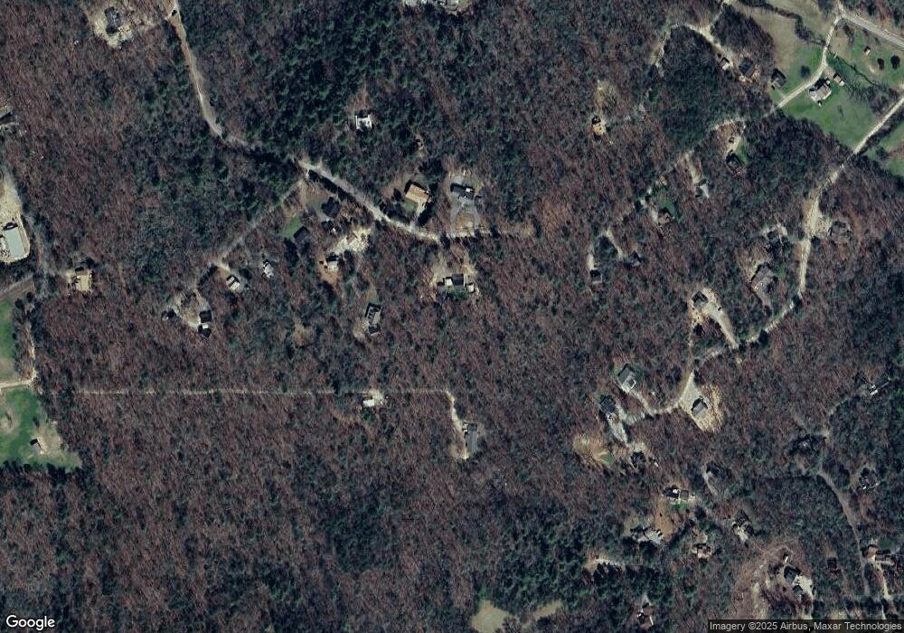
574 Hawks Nest Rd Blairsville, GA 30512
Estimated Value: $354,805 - $438,000
2
Beds
2
Baths
1,528
Sq Ft
$266/Sq Ft
Est. Value
About This Home
This home is located at 574 Hawks Nest Rd, Blairsville, GA 30512 and is currently estimated at $405,951, approximately $265 per square foot. 574 Hawks Nest Rd is a home located in Union County with nearby schools including Union County Primary School, Union County Elementary School, and Union County Middle School.
Ownership History
Date
Name
Owned For
Owner Type
Purchase Details
Closed on
Sep 27, 2001
Sold by
Miles Michael R
Bought by
Miles Michael R
Current Estimated Value
Purchase Details
Closed on
Apr 11, 2001
Sold by
Jones Jones G and Jones Ben
Bought by
Miles Michael R
Purchase Details
Closed on
Apr 2, 1998
Bought by
Jones Jones G and Jones Ben
Create a Home Valuation Report for This Property
The Home Valuation Report is an in-depth analysis detailing your home's value as well as a comparison with similar homes in the area
Home Values in the Area
Average Home Value in this Area
Purchase History
| Date | Buyer | Sale Price | Title Company |
|---|---|---|---|
| Miles Michael R | -- | -- | |
| Miles Michael R | $22,500 | -- | |
| Jones Jones G | -- | -- |
Source: Public Records
Tax History Compared to Growth
Tax History
| Year | Tax Paid | Tax Assessment Tax Assessment Total Assessment is a certain percentage of the fair market value that is determined by local assessors to be the total taxable value of land and additions on the property. | Land | Improvement |
|---|---|---|---|---|
| 2024 | $1,748 | $155,812 | $14,800 | $141,012 |
| 2023 | $1,936 | $153,096 | $14,800 | $138,296 |
| 2022 | $1,477 | $118,624 | $13,720 | $104,904 |
| 2021 | $1,526 | $98,856 | $13,720 | $85,136 |
| 2020 | $1,507 | $81,666 | $12,874 | $68,792 |
| 2019 | $1,174 | $67,666 | $12,874 | $54,792 |
| 2018 | $1,106 | $62,966 | $12,874 | $50,092 |
| 2017 | $1,071 | $62,966 | $12,874 | $50,092 |
| 2016 | $1,071 | $62,966 | $12,874 | $50,092 |
| 2015 | $1,081 | $62,966 | $12,874 | $50,092 |
| 2013 | -- | $59,861 | $12,874 | $46,987 |
Source: Public Records
Map
Nearby Homes
- LOT 10 Hawks Nest Rd Unit 10
- lot 8 Hawks Nest Rd
- 10 W Hawks Nest Rd
- 125 Spivey Ridge Rd
- Lot 16 Stacy Ln
- Lot 17 Stacy Ln
- 540 Young Cane Creek Rd
- 369 Timber Blossom Dr
- 274 Wild Ridge Rd
- 18 Dillard Place
- 63 Rolling Hills
- 001 Harmony Rd
- 127 Hard Rock Hill
- LOT 48 Laurel Brooke
- 763 Sharp Top Cir
- LOT 32 Byers Rd
- LT 32 Byers Rd
- Lot 25 Byers Rd
- LOT 29 Sharp Top Cir
- LOT 26 Sharp Top Cir
- 0 Iris Ln Unit 8105535
- 589 Hawks Nest Rd
- 89 Iris Ln
- 89 Iris Ln Unit 15
- 557 Hawks Nest Rd
- 36 Iris Ln
- 247 Seminole Rd
- 7 Rabbit Run
- 777 Serena Rd
- 8470 Rabbit Run
- 80 Iris Ln
- 51 Rabbit Run
- 1671 Seminole Rd
- 227 Seminole Rd
- 684 Serena Rd
- 481 Hawks Nest Rd
- 69 Rabbit Run
- 0 Rabbit Run
- 193 Seminole Rd
- 87 Rabbit Run
