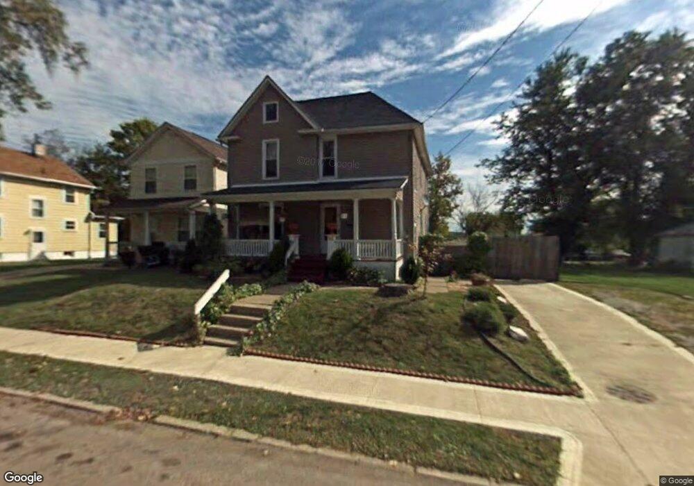
574 Johns Ave Mansfield, OH 44903
Estimated Value: $77,000 - $97,000
3
Beds
1
Bath
1,458
Sq Ft
$61/Sq Ft
Est. Value
About This Home
This home is located at 574 Johns Ave, Mansfield, OH 44903 and is currently estimated at $88,249, approximately $60 per square foot. 574 Johns Ave is a home located in Richland County with nearby schools including Goal Digital Academy, St. Peter's Elementary/Montessori School, and St. Peter's High School/Junior High.
Ownership History
Date
Name
Owned For
Owner Type
Purchase Details
Closed on
Jul 12, 2005
Sold by
Crossmon James W
Bought by
Fuller Eleanor D
Current Estimated Value
Home Financials for this Owner
Home Financials are based on the most recent Mortgage that was taken out on this home.
Original Mortgage
$49,129
Interest Rate
5.69%
Mortgage Type
FHA
Purchase Details
Closed on
Jan 3, 2002
Sold by
Garity Thomas E
Bought by
Crossmon James W
Purchase Details
Closed on
Jul 5, 1994
Sold by
King Ollie
Bought by
Gerity Thomas Emmett
Create a Home Valuation Report for This Property
The Home Valuation Report is an in-depth analysis detailing your home's value as well as a comparison with similar homes in the area
Home Values in the Area
Average Home Value in this Area
Purchase History
| Date | Buyer | Sale Price | Title Company |
|---|---|---|---|
| Fuller Eleanor D | $49,900 | Southern Title | |
| Crossmon James W | $6,000 | -- | |
| Gerity Thomas Emmett | $2,000 | -- |
Source: Public Records
Mortgage History
| Date | Status | Borrower | Loan Amount |
|---|---|---|---|
| Previous Owner | Fuller Eleanor D | $49,129 |
Source: Public Records
Tax History Compared to Growth
Tax History
| Year | Tax Paid | Tax Assessment Tax Assessment Total Assessment is a certain percentage of the fair market value that is determined by local assessors to be the total taxable value of land and additions on the property. | Land | Improvement |
|---|---|---|---|---|
| 2024 | $1,009 | $21,540 | $1,510 | $20,030 |
| 2023 | $1,009 | $21,540 | $1,510 | $20,030 |
| 2022 | $652 | $11,660 | $1,380 | $10,280 |
| 2021 | $656 | $11,660 | $1,380 | $10,280 |
| 2020 | $671 | $11,660 | $1,380 | $10,280 |
| 2019 | $743 | $11,660 | $1,380 | $10,280 |
| 2018 | $733 | $11,660 | $1,380 | $10,280 |
| 2017 | $714 | $11,660 | $1,380 | $10,280 |
| 2016 | $781 | $12,380 | $2,180 | $10,200 |
| 2015 | $746 | $12,380 | $2,180 | $10,200 |
| 2014 | $737 | $12,380 | $2,180 | $10,200 |
| 2012 | $280 | $12,370 | $2,290 | $10,080 |
Source: Public Records
Map
Nearby Homes
- 283 Bulkley Ave
- 526 Bowman St
- 743 Bowman St
- 156 Buckingham Ave Unit 158
- 371 Bell St
- 426 Mcpherson St
- 0 Voegele Ave Unit Lot 6048, 6049, 6
- 452 Daisy St
- 0 Highway 30
- 512 Burns St
- 0 State Route 314 Unit 9067316
- 0 State Route 314 Unit 225021979
- 282 W 5th St
- 688 Mcpherson St
- 219 W 5th St
- 673 Armstrong St Unit 23
- 169 W 5th St
- 237 Helen Ave
- 132 Sycamore St
- 269 Parkway Dr
- 578 Johns Ave
- 564 Johns Ave
- 582 Johns Ave
- 586 Johns Ave
- 558 Johns Ave
- 583 Bowman St
- 556 Johns Ave
- 573 Bowman St Unit 575
- 563 Bowman St
- 567 Bowman St
- 247 Johns Park Entrance St
- 247 St Johns
- 555 Johns Ave
- 587 Bowman St
- 552 Johns Ave
- 598 Johns Ave
- 275 Bulkley Ave
- 279 Bulkley Ave
- 546 Johns Ave
- 559 Bowman St