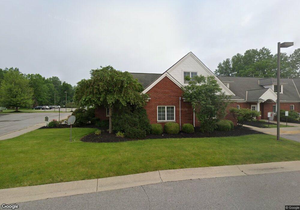
574 N Leavitt Rd Amherst, OH 44001
Estimated Value: $667,039
--
Bed
--
Bath
1,942
Sq Ft
$343/Sq Ft
Est. Value
About This Home
This home is located at 574 N Leavitt Rd, Amherst, OH 44001 and is currently estimated at $667,039, approximately $343 per square foot. 574 N Leavitt Rd is a home located in Lorain County with nearby schools including Powers Elementary School, Walter G. Nord Middle School, and Amherst Junior High School.
Ownership History
Date
Name
Owned For
Owner Type
Purchase Details
Closed on
Jan 18, 2007
Sold by
Starbuck William H and Starbuck Louise K
Bought by
Oberlin Clinic Properties Llc
Current Estimated Value
Purchase Details
Closed on
Dec 1, 2005
Sold by
Swanzer William M and Swanzer Lynn M
Bought by
Starbuck William H and Starbuck Louise K
Purchase Details
Closed on
Jan 28, 1999
Sold by
Starbuck William H and Starbuck Louise K
Bought by
Swanzer William M and Swanzer Lynn M
Home Financials for this Owner
Home Financials are based on the most recent Mortgage that was taken out on this home.
Original Mortgage
$272,325
Interest Rate
6.75%
Mortgage Type
Commercial
Create a Home Valuation Report for This Property
The Home Valuation Report is an in-depth analysis detailing your home's value as well as a comparison with similar homes in the area
Home Values in the Area
Average Home Value in this Area
Purchase History
| Date | Buyer | Sale Price | Title Company |
|---|---|---|---|
| Oberlin Clinic Properties Llc | -- | French Creek Title Agency Lt | |
| Starbuck William H | $355,000 | -- | |
| Swanzer William M | $312,900 | Guardian Title |
Source: Public Records
Mortgage History
| Date | Status | Borrower | Loan Amount |
|---|---|---|---|
| Previous Owner | Swanzer William M | $272,325 |
Source: Public Records
Tax History Compared to Growth
Tax History
| Year | Tax Paid | Tax Assessment Tax Assessment Total Assessment is a certain percentage of the fair market value that is determined by local assessors to be the total taxable value of land and additions on the property. | Land | Improvement |
|---|---|---|---|---|
| 2024 | $6,293 | $126,858 | $14,886 | $111,972 |
| 2023 | $6,783 | $114,167 | $14,886 | $99,281 |
| 2022 | $6,601 | $114,167 | $14,886 | $99,281 |
| 2021 | $6,665 | $114,167 | $14,886 | $99,281 |
| 2020 | $6,915 | $114,170 | $14,890 | $99,280 |
| 2019 | $6,766 | $114,170 | $14,890 | $99,280 |
| 2018 | $7,155 | $114,170 | $14,890 | $99,280 |
| 2017 | $7,554 | $115,410 | $21,000 | $94,410 |
| 2016 | $7,567 | $115,410 | $21,000 | $94,410 |
| 2015 | $7,570 | $115,410 | $21,000 | $94,410 |
| 2014 | $7,529 | $115,410 | $21,000 | $94,410 |
| 2013 | $7,489 | $115,410 | $21,000 | $94,410 |
Source: Public Records
Map
Nearby Homes
- 922 Sharondale Dr
- 1273 Spruce Tree Ln
- 707 Greenlawn Dr
- Pine w/ Full Basement Plan at Quarry Creek
- Poplar Plan at Quarry Creek
- 60 Flamingo Ave
- 41 Flamingo Ave
- 127 Tropicana Ave
- 117 Caesars Cir
- 8 Riviera Ave
- 351 Rockridge Dr
- 726 Sunrise Dr
- 0 Cooper Foster Park Rd Unit 5129838
- 105 N Woodhill Dr
- 117 Fall Lake Ln
- 135 Ridgeland Dr
- 1011 N Main St
- 825 Cleveland Ave
- 6394 Balsam Dr
- 3489 Coopers Trail
- 552 N Leavitt Rd
- 510 N Leavitt Rd
- 530 N Leavitt Rd
- 795 Blossom Dr
- 785 Blossom Dr
- 775 Blossom Dr
- 889 Timberview Dr
- 705 Blossom Dr
- 879 Timberview Dr
- 780 Blossom Dr
- 408 N Leavitt Rd
- 770 Blossom Dr
- 695 Blossom Dr
- 1211 Spruce Tree Ln
- 750 Blossom Dr
- 869 Timberview Dr
- 1210 Spruce Tree Ln
- 411 N Leavitt Rd
- 685 Blossom Dr
- 710 Blossom Dr