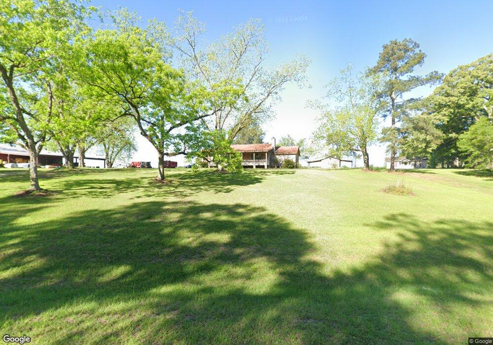
574 Sauls Rd Moultrie, GA 31768
Estimated Value: $206,000 - $266,000
--
Bed
2
Baths
1,792
Sq Ft
$133/Sq Ft
Est. Value
About This Home
This home is located at 574 Sauls Rd, Moultrie, GA 31768 and is currently estimated at $237,517, approximately $132 per square foot. 574 Sauls Rd is a home located in Colquitt County with nearby schools including Sunset Elementary School, Willie J. Williams Middle School, and C.A. Gray Junior High School.
Ownership History
Date
Name
Owned For
Owner Type
Purchase Details
Closed on
Sep 15, 2022
Sold by
Dozier Craig L Estate
Bought by
Gay Roger Carl
Current Estimated Value
Home Financials for this Owner
Home Financials are based on the most recent Mortgage that was taken out on this home.
Original Mortgage
$182,322
Outstanding Balance
$165,356
Interest Rate
5.13%
Mortgage Type
Mortgage Modification
Estimated Equity
$72,161
Purchase Details
Closed on
Oct 18, 2019
Sold by
Dozier Wendie L
Bought by
Dozier Craig Lynn Estate
Purchase Details
Closed on
Feb 4, 1998
Bought by
Dozier Wendie L
Purchase Details
Closed on
Aug 10, 1993
Bought by
Sinclair Wendie L
Purchase Details
Closed on
May 18, 1993
Bought by
Federal Home Loan Mort
Create a Home Valuation Report for This Property
The Home Valuation Report is an in-depth analysis detailing your home's value as well as a comparison with similar homes in the area
Home Values in the Area
Average Home Value in this Area
Purchase History
| Date | Buyer | Sale Price | Title Company |
|---|---|---|---|
| Gay Roger Carl | $180,000 | -- | |
| Dozier Craig Lynn Estate | -- | -- | |
| Dozier Wendie L | -- | -- | |
| Sinclair Wendie L | $53,500 | -- | |
| Federal Home Loan Mort | $57,400 | -- |
Source: Public Records
Mortgage History
| Date | Status | Borrower | Loan Amount |
|---|---|---|---|
| Open | Gay Roger Carl | $182,322 |
Source: Public Records
Tax History Compared to Growth
Tax History
| Year | Tax Paid | Tax Assessment Tax Assessment Total Assessment is a certain percentage of the fair market value that is determined by local assessors to be the total taxable value of land and additions on the property. | Land | Improvement |
|---|---|---|---|---|
| 2024 | $1,657 | $73,993 | $8,031 | $65,962 |
| 2023 | $1,560 | $60,579 | $8,031 | $52,548 |
| 2022 | $1,179 | $49,526 | $7,137 | $42,389 |
| 2021 | $1,084 | $44,637 | $7,137 | $37,500 |
| 2020 | $1,043 | $42,188 | $7,137 | $35,051 |
| 2019 | $1,115 | $40,556 | $7,137 | $33,419 |
| 2018 | $1,037 | $40,556 | $7,137 | $33,419 |
| 2017 | $1,045 | $38,387 | $4,968 | $33,419 |
| 2016 | $1,059 | $38,387 | $4,968 | $33,419 |
| 2015 | $1,069 | $38,387 | $4,968 | $33,419 |
| 2014 | $1,048 | $38,387 | $4,968 | $33,419 |
| 2013 | -- | $38,387 | $4,968 | $33,418 |
Source: Public Records
Map
Nearby Homes
- 0 Gatewood Cir Unit 1652303
- 904 Barbara Cir
- 1215 12th St SW
- 905 Barbara Cir
- 2010 West Blvd
- 1712 Villa Dr SW
- 1159 6th St SW
- 1546 Ivy Ln
- 1160 4th St SW
- 39 Hummingbird Rd
- 1175 4th St SW
- 1777 S Main St
- 1941 S Main St
- 1310 S Main St
- Lot 3 Hummingbird Ln
- 2021 S Main St
- 29 17th Ave SE
- 10 Hummingbird Rd
- 216 Circle Rd
- 219 Cox Dairy Rd