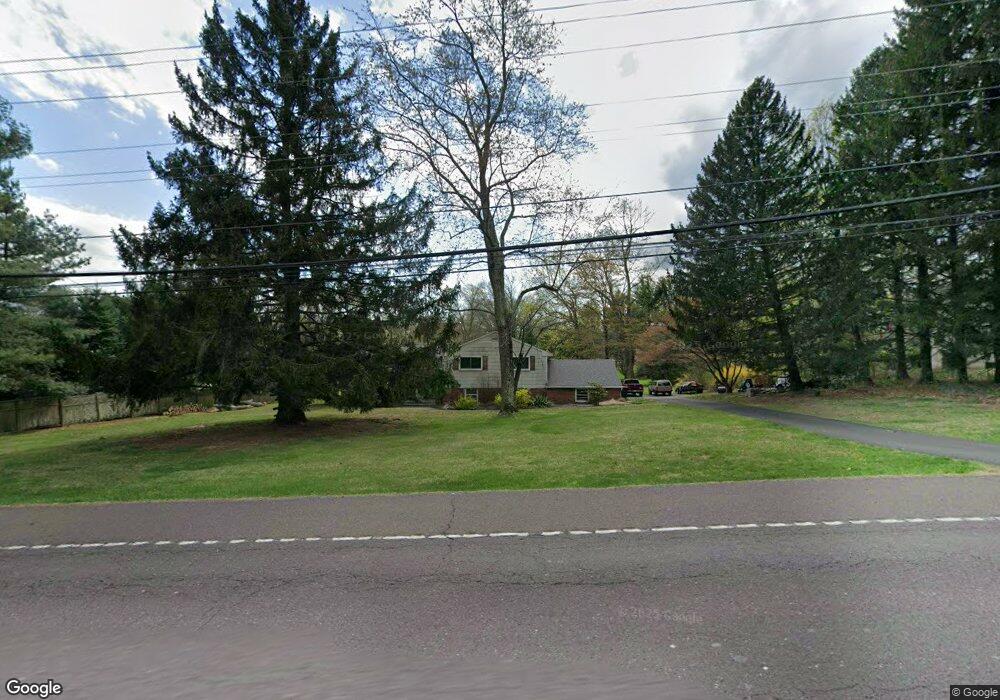
574 Swamp Rd Doylestown, PA 18901
Estimated Value: $511,009 - $714,000
3
Beds
3
Baths
1,326
Sq Ft
$436/Sq Ft
Est. Value
About This Home
This home is located at 574 Swamp Rd, Doylestown, PA 18901 and is currently estimated at $578,252, approximately $436 per square foot. 574 Swamp Rd is a home located in Bucks County with nearby schools including Kutz Elementary School, Lenape Middle School, and Central Bucks High School-West.
Ownership History
Date
Name
Owned For
Owner Type
Purchase Details
Closed on
Sep 30, 1991
Sold by
Weniger
Bought by
Austerberry John A Jr and Austerberry Teresa M
Current Estimated Value
Purchase Details
Closed on
Sep 5, 1967
Bought by
Weniger
Create a Home Valuation Report for This Property
The Home Valuation Report is an in-depth analysis detailing your home's value as well as a comparison with similar homes in the area
Home Values in the Area
Average Home Value in this Area
Purchase History
| Date | Buyer | Sale Price | Title Company |
|---|---|---|---|
| Austerberry John A Jr | $169,500 | -- | |
| Weniger | -- | -- |
Source: Public Records
Tax History Compared to Growth
Tax History
| Year | Tax Paid | Tax Assessment Tax Assessment Total Assessment is a certain percentage of the fair market value that is determined by local assessors to be the total taxable value of land and additions on the property. | Land | Improvement |
|---|---|---|---|---|
| 2025 | $5,309 | $30,000 | $7,800 | $22,200 |
| 2024 | $5,309 | $30,000 | $7,800 | $22,200 |
| 2023 | $5,062 | $30,000 | $7,800 | $22,200 |
| 2022 | $5,006 | $30,000 | $7,800 | $22,200 |
| 2021 | $4,903 | $30,000 | $7,800 | $22,200 |
| 2020 | $4,880 | $30,000 | $7,800 | $22,200 |
| 2019 | $4,828 | $30,000 | $7,800 | $22,200 |
| 2018 | $4,813 | $30,000 | $7,800 | $22,200 |
| 2017 | $4,775 | $30,000 | $7,800 | $22,200 |
| 2016 | $4,745 | $30,000 | $7,800 | $22,200 |
| 2015 | -- | $30,000 | $7,800 | $22,200 |
| 2014 | -- | $30,000 | $7,800 | $22,200 |
Source: Public Records
Map
Nearby Homes
- 3015 Yorkshire Rd
- 3889 Robin Rd
- 126 Short Rd
- 3775 Buckingham Dr
- 249 East Rd
- 000 Cherry Ln
- 150 Watercrest Dr
- 152 Watercrest Dr
- lot #3 next to 3739 York Rd
- 106 Saddle Dr
- 223 Cherry Ln
- 2479 Wheatfield Ln
- 3772 Powder Horn Dr
- 21 Shady Springs Dr
- 505 E State St
- 2294 Staffordshire Rd
- 3657 Powder Horn Dr
- 2799 Manion Way
- 2209 Swamp Rd
- 420 Edison Furlong Rd