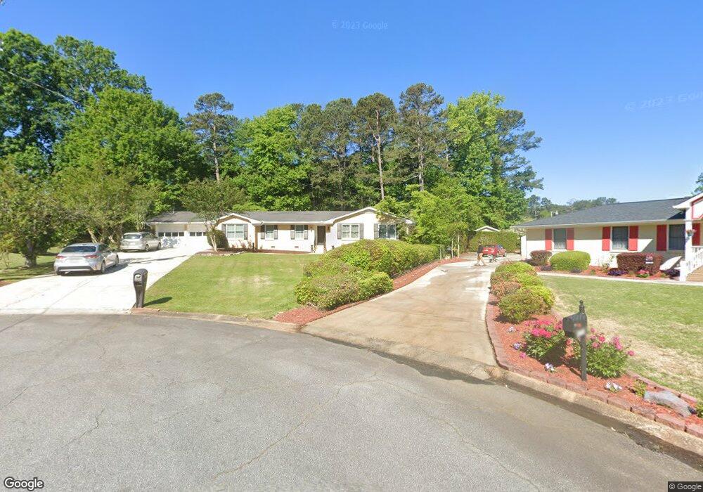
5741 Forrest Ct Unit 14 Stone Mountain, GA 30087
Estimated Value: $346,000 - $379,000
3
Beds
2
Baths
1,835
Sq Ft
$195/Sq Ft
Est. Value
About This Home
This home is located at 5741 Forrest Ct Unit 14, Stone Mountain, GA 30087 and is currently estimated at $358,383, approximately $195 per square foot. 5741 Forrest Ct Unit 14 is a home located in Gwinnett County with nearby schools including Camp Creek Elementary School, Trickum Middle School, and Parkview High School.
Ownership History
Date
Name
Owned For
Owner Type
Purchase Details
Closed on
Oct 15, 2018
Sold by
Colibri Svcs Llc
Bought by
Scarso Catalina
Current Estimated Value
Purchase Details
Closed on
Sep 28, 2018
Sold by
Blanton Steven
Bought by
Colibri Svcs Llc
Purchase Details
Closed on
May 8, 2018
Sold by
Butler Rachel G
Bought by
Brown Mikell B Trustee and Testamentary Trust
Purchase Details
Closed on
Jan 30, 2012
Sold by
Butler Harold W
Bought by
Butler Rachel G
Purchase Details
Closed on
Mar 5, 1998
Sold by
Adams Sharlee T
Bought by
Butler Rachel G and Butler Harold W
Create a Home Valuation Report for This Property
The Home Valuation Report is an in-depth analysis detailing your home's value as well as a comparison with similar homes in the area
Home Values in the Area
Average Home Value in this Area
Purchase History
| Date | Buyer | Sale Price | Title Company |
|---|---|---|---|
| Scarso Catalina | $160,000 | -- | |
| Colibri Svcs Llc | $112,500 | -- | |
| Blanton Steven | $102,000 | -- | |
| Brown Mikell B Trustee | -- | -- | |
| Butler Rachel G | -- | -- | |
| Butler Rachel G | $112,000 | -- |
Source: Public Records
Tax History Compared to Growth
Tax History
| Year | Tax Paid | Tax Assessment Tax Assessment Total Assessment is a certain percentage of the fair market value that is determined by local assessors to be the total taxable value of land and additions on the property. | Land | Improvement |
|---|---|---|---|---|
| 2024 | $4,865 | $125,880 | $22,200 | $103,680 |
| 2023 | $4,865 | $121,640 | $24,000 | $97,640 |
| 2022 | $4,095 | $105,280 | $24,000 | $81,280 |
| 2021 | $3,080 | $77,080 | $17,200 | $59,880 |
| 2020 | $3,148 | $77,080 | $17,200 | $59,880 |
| 2019 | $2,580 | $64,000 | $14,000 | $50,000 |
| 2018 | $2,680 | $67,120 | $14,000 | $53,120 |
| 2016 | $793 | $59,520 | $14,000 | $45,520 |
| 2015 | $807 | $53,440 | $14,000 | $39,440 |
| 2014 | $813 | $45,600 | $14,000 | $31,600 |
Source: Public Records
Map
Nearby Homes
- 737 Lioness Ct
- 483 Rollingwood Dr
- 507 Castlearie Dr
- 507 Castleaire Dr Unit 1
- 5632 Stillwater Ct
- 5578 Four Winds Dr SW Unit 3
- 5607 Mountainbrooke Ct
- 5741 Wolf Laurel Ln SW
- 5774 Vantage Ct
- 5531 Four Winds Dr SW
- 771 Mountainbrooke Cir SW
- 2119 Gunstock Dr
- 851 Rockbridge Rd SW
- 353 Old Rosser Rd
- 923 Tall Pine Ct SW
- 292 Old Rosser Rd
- 717 Oxford Ct SW
- 5741 Forrest Ct
- 5731 Forrest Ct
- 5742 Forrest Ct
- 5784 Fairfield Place Unit 2
- 5780 Fairfield Place
- 5792 Fairfield Place
- 5772 Fairfield Place
- 5732 Forrest Ct
- 609 Rollingwood Dr
- 639 Rollingwood Dr
- 0 Fairfield Place Unit 8612818
- 0 Fairfield Place Unit 8570693
- 0 Fairfield Place Unit 8377978
- 0 Fairfield Place Unit 7578107
- 0 Fairfield Place
- 5794 Fairfield Place Unit 2
- 5762 Fairfield Place
- 649 Rollingwood Dr
- 0 Rollingwood Dr Unit 7475574
- 0 Rollingwood Dr Unit 7342441