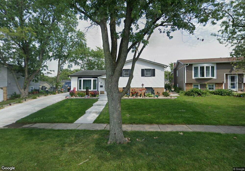
5743 Lancaster Dr Oak Forest, IL 60452
Estimated Value: $280,490 - $324,000
3
Beds
1
Bath
960
Sq Ft
$315/Sq Ft
Est. Value
About This Home
This home is located at 5743 Lancaster Dr, Oak Forest, IL 60452 and is currently estimated at $302,123, approximately $314 per square foot. 5743 Lancaster Dr is a home located in Cook County with nearby schools including Lee R Foster Elementary School, Jack Hille Middle School, and Oak Forest High School.
Ownership History
Date
Name
Owned For
Owner Type
Purchase Details
Closed on
Jun 29, 2001
Sold by
Noland Albert C
Bought by
Piwowarski Edward M and Piwowarski Sherri L
Current Estimated Value
Home Financials for this Owner
Home Financials are based on the most recent Mortgage that was taken out on this home.
Original Mortgage
$119,000
Outstanding Balance
$43,915
Interest Rate
7.2%
Estimated Equity
$258,208
Create a Home Valuation Report for This Property
The Home Valuation Report is an in-depth analysis detailing your home's value as well as a comparison with similar homes in the area
Home Values in the Area
Average Home Value in this Area
Purchase History
| Date | Buyer | Sale Price | Title Company |
|---|---|---|---|
| Piwowarski Edward M | $154,000 | -- |
Source: Public Records
Mortgage History
| Date | Status | Borrower | Loan Amount |
|---|---|---|---|
| Open | Piwowarski Edward M | $119,000 |
Source: Public Records
Tax History Compared to Growth
Tax History
| Year | Tax Paid | Tax Assessment Tax Assessment Total Assessment is a certain percentage of the fair market value that is determined by local assessors to be the total taxable value of land and additions on the property. | Land | Improvement |
|---|---|---|---|---|
| 2025 | $5,846 | $22,000 | $3,486 | $18,514 |
| 2024 | $5,846 | $22,000 | $3,486 | $18,514 |
| 2023 | $4,379 | $22,000 | $3,486 | $18,514 |
| 2022 | $4,379 | $13,850 | $3,098 | $10,752 |
| 2021 | $4,834 | $15,136 | $3,098 | $12,038 |
| 2020 | $5,326 | $16,629 | $3,098 | $13,531 |
| 2019 | $4,433 | $14,434 | $2,904 | $11,530 |
| 2018 | $5,386 | $17,036 | $2,904 | $14,132 |
| 2017 | $5,428 | $17,036 | $2,904 | $14,132 |
| 2016 | $5,281 | $15,350 | $2,711 | $12,639 |
| 2015 | $5,104 | $15,350 | $2,711 | $12,639 |
| 2014 | $4,977 | $15,350 | $2,711 | $12,639 |
| 2013 | $4,821 | $16,440 | $2,711 | $13,729 |
Source: Public Records
Map
Nearby Homes
- 15201 Geoffrey Rd Unit 1
- 5653 Dover Rd
- 5823 Stuart Ln
- 5918 Stuart Ln
- 16207 Long Ave
- 6036 Rob Roy Dr
- 5700 La Palm Dr
- 15705 Peggy Ln
- 15701 Peggy Ln Unit 3
- 15700 Reynolds Ln
- 15711 Peggy Ln Unit 7
- 15309 Arroyo Dr
- 15723 Peggy Ln Unit 5
- 14825 Parkside Ave
- 15805 Peggy Ln Unit 6
- 15805 Peggy Ln Unit 9
- 14901 S Cicero Ave
- 16352 169 Lot #13 Place
- 16917 W Thackeray Lot #10 St
- 16352 169 Lot #15 Place
- 5749 Lancaster Dr
- 5737 Lancaster Dr
- 5720 Victoria Dr
- 5722 Victoria Dr
- 5731 Lancaster Dr
- 5716 Victoria Dr
- 5724 Victoria Dr
- 5755 Lancaster Dr
- 5744 Lancaster Dr
- 5712 Victoria Dr
- 15325 James Dr
- 5736 Lancaster Dr
- 5728 Victoria Dr
- 5725 Lancaster Dr
- 5730 Lancaster Dr
- 5708 Victoria Dr
- 15335 James Dr
- 5732 Victoria Dr
- 5721 Lancaster Dr
- 5726 Lancaster Dr