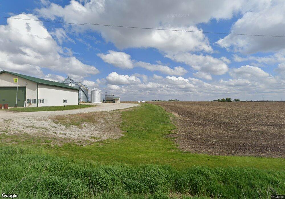
5745 E Dunkerton Rd Waterloo, IA 50703
Estimated Value: $241,000 - $381,003
3
Beds
2
Baths
2,108
Sq Ft
$155/Sq Ft
Est. Value
About This Home
This home is located at 5745 E Dunkerton Rd, Waterloo, IA 50703 and is currently estimated at $326,751, approximately $155 per square foot. 5745 E Dunkerton Rd is a home located in Black Hawk County with nearby schools including Dunkerton Elementary School and Dunkerton High School.
Ownership History
Date
Name
Owned For
Owner Type
Purchase Details
Closed on
Feb 23, 2021
Sold by
Fuelling Riann L and Mcmahon Riann L
Bought by
Fuelling Matthew S
Current Estimated Value
Purchase Details
Closed on
Oct 12, 2009
Sold by
Co Mcdougall Farms Inc
Bought by
Fuelling Mathew S and Fuelling Riann L
Home Financials for this Owner
Home Financials are based on the most recent Mortgage that was taken out on this home.
Original Mortgage
$160,000
Interest Rate
5.07%
Mortgage Type
New Conventional
Create a Home Valuation Report for This Property
The Home Valuation Report is an in-depth analysis detailing your home's value as well as a comparison with similar homes in the area
Purchase History
| Date | Buyer | Sale Price | Title Company |
|---|---|---|---|
| Fuelling Matthew S | -- | None Listed On Document | |
| Fuelling Mathew S | $200,000 | None Available |
Source: Public Records
Mortgage History
| Date | Status | Borrower | Loan Amount |
|---|---|---|---|
| Previous Owner | Fuelling Mathew S | $160,000 |
Source: Public Records
Tax History
| Year | Tax Paid | Tax Assessment Tax Assessment Total Assessment is a certain percentage of the fair market value that is determined by local assessors to be the total taxable value of land and additions on the property. | Land | Improvement |
|---|---|---|---|---|
| 2025 | $4,180 | $356,960 | $1,850 | $355,110 |
| 2024 | $4,180 | $345,980 | $1,450 | $344,530 |
| 2023 | $3,438 | $345,980 | $1,450 | $344,530 |
| 2022 | $3,382 | $243,940 | $1,170 | $242,770 |
| 2021 | $3,588 | $244,030 | $1,260 | $242,770 |
| 2020 | $3,538 | $243,950 | $1,180 | $242,770 |
| 2019 | $3,538 | $243,950 | $1,180 | $242,770 |
| 2018 | $3,238 | $222,400 | $1,700 | $220,700 |
| 2017 | $3,282 | $222,400 | $1,700 | $220,700 |
| 2016 | $3,232 | $222,590 | $1,890 | $220,700 |
| 2015 | $3,232 | $222,590 | $1,890 | $220,700 |
| 2014 | $3,366 | $224,200 | $3,500 | $220,700 |
Source: Public Records
Map
Nearby Homes
- LOT 40 Cloverdale
- 7603 N Raymond Rd
- 301 W Sycamore St
- 101 S Washington St
- 1202 Jon Rd
- 213 Brookside Dr
- Lot 2 Jon Rd
- 619 Sal Ave
- 2717 E Airline Hwy
- 1827 N Pilot Grove Rd
- 5721 E Gresham Rd
- 0 Newell St Unit NBR20241901
- 965 E Donald St
- 0 Plain View St Unit NBR20261276
- 701 Shirley St
- 0 Plainview & Shirley St Unit NBR20254115
- 5955 Osage Rd
- 2906 Niles St
- 2265 Independence Ave
- 2260 Independence Ave
- 5615 E Dunkerton Rd
- 0000 N Raymond Rd
- 5230 E Dunkerton Rd
- 5338 N Raymond Rd
- 4520 N Raymond Rd
- 5141 E Dunkerton Rd
- 5735 N Raymond Rd
- 5014 E Dunkerton Rd
- 5726 N Raymond Rd
- 0 E Dunkerton Rd
- 0 E Dunkerton Rd
- 0 E Dunkerton Rd
- 6547 E Dunkerton Rd
- 5021 Crane Creek Rd
- 5043 Crane Creek Rd
- 5127 Crane Creek Rd
- 4911 E Dunkerton Rd
- 6608 E Dunkerton Rd
- 4508 Crane Creek Rd
- 4821 E Dunkerton Rd
Your Personal Tour Guide
Ask me questions while you tour the home.