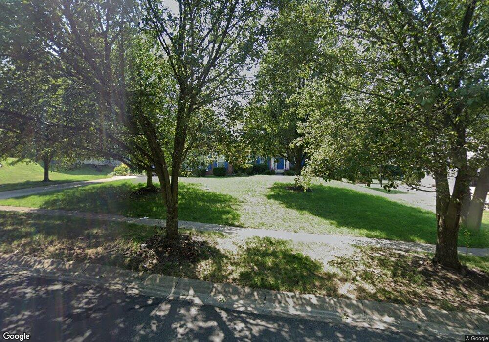
5745 Treeside Dr Liberty Township, OH 45044
Estimated Value: $539,503 - $670,000
4
Beds
3
Baths
3,838
Sq Ft
$165/Sq Ft
Est. Value
About This Home
This home is located at 5745 Treeside Dr, Liberty Township, OH 45044 and is currently estimated at $631,626, approximately $164 per square foot. 5745 Treeside Dr is a home located in Butler County with nearby schools including Independence Elementary School, Liberty Junior School, and Lakota East High School.
Ownership History
Date
Name
Owned For
Owner Type
Purchase Details
Closed on
Sep 16, 2003
Sold by
Nvr Inc
Bought by
Kaltman Leonard G and Drazner Dana L
Current Estimated Value
Home Financials for this Owner
Home Financials are based on the most recent Mortgage that was taken out on this home.
Original Mortgage
$225,000
Outstanding Balance
$105,811
Interest Rate
6.44%
Mortgage Type
Purchase Money Mortgage
Estimated Equity
$525,815
Purchase Details
Closed on
Jun 17, 2003
Sold by
Welsh Development Co Inc
Bought by
Nvr Inc
Purchase Details
Closed on
May 27, 2003
Sold by
Welsh Development Co Inc
Bought by
Nvr Inc
Create a Home Valuation Report for This Property
The Home Valuation Report is an in-depth analysis detailing your home's value as well as a comparison with similar homes in the area
Home Values in the Area
Average Home Value in this Area
Purchase History
| Date | Buyer | Sale Price | Title Company |
|---|---|---|---|
| Kaltman Leonard G | $338,603 | -- | |
| Nvr Inc | $54,080 | -- | |
| Nvr Inc | $54,080 | -- |
Source: Public Records
Mortgage History
| Date | Status | Borrower | Loan Amount |
|---|---|---|---|
| Open | Kaltman Leonard G | $225,000 |
Source: Public Records
Tax History Compared to Growth
Tax History
| Year | Tax Paid | Tax Assessment Tax Assessment Total Assessment is a certain percentage of the fair market value that is determined by local assessors to be the total taxable value of land and additions on the property. | Land | Improvement |
|---|---|---|---|---|
| 2024 | $7,922 | $107,270 | $23,960 | $83,310 |
| 2023 | $7,819 | $107,270 | $23,960 | $83,310 |
| 2022 | $6,799 | $107,270 | $23,960 | $83,310 |
| 2021 | $6,764 | $107,270 | $23,960 | $83,310 |
| 2020 | $6,932 | $58,300 | $0 | $58,300 |
| 2019 | $11,282 | $117,120 | $19,810 | $97,310 |
| 2018 | $6,944 | $107,270 | $19,810 | $87,460 |
| 2017 | $6,108 | $107,270 | $19,810 | $87,460 |
| 2016 | $6,582 | $107,270 | $19,810 | $87,460 |
| 2015 | $6,165 | $107,270 | $19,810 | $87,460 |
| 2014 | $6,859 | $107,270 | $19,810 | $87,460 |
| 2013 | $6,859 | $107,270 | $19,810 | $87,460 |
Source: Public Records
Map
Nearby Homes
- 7108 Shady Brook Bend
- 7113 Shady Brook Bend
- 5913 Stones Throw Way
- 7120 Shady Brook Bend
- 5933 Old Pebble Path
- 7377 Burton Dr
- 5602 Schlade Ct
- 7497 Burton Dr
- 7221 Kyles Station Rd
- 7095 Kyles Station Rd
- 6919 Millikin Rd
- 7542 Hickory Knoll Dr
- 7025 Welney Run
- 6872 Fox Trot Ct
- 5725 Hawthrone Reserve Dr
- 7644 Millikin Rd
- 5290 Bligh Ct
- 7574 Woodmere Ct
- 5326 Elmwood Ln
- 6777 Mahogany Ct
- 5735 Treeside Dr
- 5755 Treeside Dr
- 5725 Treeside Dr
- 5765 Treeside Dr
- 5839 Treeside Dr
- 5746 Treeside Dr
- 5756 Treeside Dr
- 5736 Treeside Dr
- 5715 Treeside Dr
- 5766 Treeside Dr
- 5726 Treeside Dr
- 5770 Treeside Dr
- 5716 Treeside Dr
- 5705 Treeside Dr
- 74 Treeside Dr
- 5807 Cedarview Ct
- 5776 Treeside Dr
- 5797 Cedarview Ct
- 5706 Treeside Dr
- 5817 Cedarview Ct