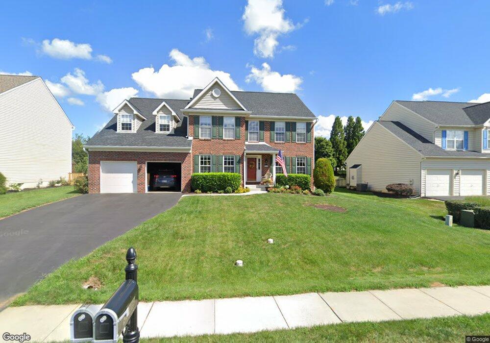
5746 Morland Dr S Adamstown, MD 21710
Estimated Value: $707,000 - $780,000
--
Bed
3
Baths
3,452
Sq Ft
$213/Sq Ft
Est. Value
About This Home
This home is located at 5746 Morland Dr S, Adamstown, MD 21710 and is currently estimated at $735,099, approximately $212 per square foot. 5746 Morland Dr S is a home located in Frederick County with nearby schools including Carroll Manor Elementary School, Ballenger Creek Middle School, and Tuscarora High School.
Ownership History
Date
Name
Owned For
Owner Type
Purchase Details
Closed on
Apr 15, 2019
Sold by
Bendorf Dennis and Bendorf Cinda
Bought by
Bendorf Family Revocable Living Trust
Current Estimated Value
Purchase Details
Closed on
May 10, 2018
Sold by
Bendrof Dennis
Bought by
Bendrof Dennis and Bendrof Cinda
Purchase Details
Closed on
May 30, 2000
Sold by
Ausherman Ernest W
Bought by
Bendorf Dennis P and Bendorf Tracie L
Create a Home Valuation Report for This Property
The Home Valuation Report is an in-depth analysis detailing your home's value as well as a comparison with similar homes in the area
Home Values in the Area
Average Home Value in this Area
Purchase History
| Date | Buyer | Sale Price | Title Company |
|---|---|---|---|
| Bendorf Family Revocable Living Trust | -- | None Available | |
| Bendrof Dennis | -- | None Available | |
| Bendorf Dennis P | $305,565 | -- |
Source: Public Records
Mortgage History
| Date | Status | Borrower | Loan Amount |
|---|---|---|---|
| Closed | Bendorf Dennis P | -- |
Source: Public Records
Tax History Compared to Growth
Tax History
| Year | Tax Paid | Tax Assessment Tax Assessment Total Assessment is a certain percentage of the fair market value that is determined by local assessors to be the total taxable value of land and additions on the property. | Land | Improvement |
|---|---|---|---|---|
| 2025 | $6,507 | $571,700 | -- | -- |
| 2024 | $6,507 | $530,100 | $115,200 | $414,900 |
| 2023 | $6,037 | $512,233 | $0 | $0 |
| 2022 | $5,830 | $494,367 | $0 | $0 |
| 2021 | $5,548 | $476,500 | $115,200 | $361,300 |
| 2020 | $5,548 | $470,133 | $0 | $0 |
| 2019 | $5,474 | $463,767 | $0 | $0 |
| 2018 | $5,449 | $457,400 | $115,200 | $342,200 |
| 2017 | $5,162 | $457,400 | $0 | $0 |
| 2016 | $4,836 | $416,333 | $0 | $0 |
| 2015 | $4,836 | $395,800 | $0 | $0 |
| 2014 | $4,836 | $395,800 | $0 | $0 |
Source: Public Records
Map
Nearby Homes
- 5880 Union Ridge Dr
- 5798 Morland Dr N
- 5523 Modly Ct
- 2735 Tuscarora St
- 2731 Tuscarora St
- 2730 Tuscarora St
- 2734 Tuscarora St
- Macon II Plan at The Enclave at Carrollton Manor
- Adamstown Plan at The Enclave at Carrollton Manor
- Fayetteville Plan at The Enclave at Carrollton Manor
- Oban Plan at The Enclave at Carrollton Manor
- 000 Modly Ct
- 00 Modly Ct
- 00000 Modly Ct
- 0000 Modly Ct
- 2422 Doubs Ct
- 2727 Bill Dorsey Blvd
- 2730 John Mills Rd
- 3039 Ballenger Creek Pike
- 6230 Manor Woods Rd
- 5744 Morland Dr S
- 5748 Morland Dr S
- 5742 Morland Dr S
- 5750 Morland Dr S
- 5937 Norwood Place W
- 2711 Longfield Place
- 5938 Norwood Place W
- 5740 Morland Dr S
- 5752 Morland Dr S
- 5747 Morland Dr S
- 5745 Morland Dr S
- 5749 Morland Dr S
- 5743 Morland Dr S
- 5935 Norwood Place W
- 2709 Longfield Place
- 5751 Morland Dr S
- 2714 Longfield Place
- 5738 Morland Dr S
- 5754 Morland Dr S
- 5741 Morland Dr S