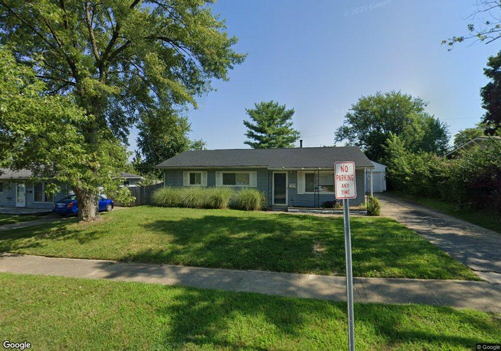
5747 Sharp Rd Dayton, OH 45432
Estimated Value: $173,617 - $214,000
4
Beds
1
Bath
1,046
Sq Ft
$186/Sq Ft
Est. Value
About This Home
This home is located at 5747 Sharp Rd, Dayton, OH 45432 and is currently estimated at $194,904, approximately $186 per square foot. 5747 Sharp Rd is a home located in Montgomery County with nearby schools including Parkwood Elementary School, Herman K Ankeney Middle School, and Beavercreek High School.
Ownership History
Date
Name
Owned For
Owner Type
Purchase Details
Closed on
Dec 6, 2012
Sold by
Ashton Thomas J and Ashton Linda M
Bought by
5747 Sharp Llc
Current Estimated Value
Purchase Details
Closed on
Dec 8, 2011
Sold by
Ashton Linda M and Schoenfeld Linda
Bought by
Ashton Thomas J
Purchase Details
Closed on
Jul 30, 2010
Sold by
Erb Ronetta S
Bought by
Schoenfeld Linda
Purchase Details
Closed on
Nov 1, 2002
Sold by
Estate Of Alice Elaine Erb
Bought by
Erb Ronald George
Create a Home Valuation Report for This Property
The Home Valuation Report is an in-depth analysis detailing your home's value as well as a comparison with similar homes in the area
Home Values in the Area
Average Home Value in this Area
Purchase History
| Date | Buyer | Sale Price | Title Company |
|---|---|---|---|
| 5747 Sharp Llc | -- | None Available | |
| Ashton Thomas J | -- | None Available | |
| Schoenfeld Linda | $46,000 | Attorney | |
| Erb Ronald George | -- | -- |
Source: Public Records
Tax History
| Year | Tax Paid | Tax Assessment Tax Assessment Total Assessment is a certain percentage of the fair market value that is determined by local assessors to be the total taxable value of land and additions on the property. | Land | Improvement |
|---|---|---|---|---|
| 2025 | $2,653 | $42,230 | $9,640 | $32,590 |
| 2024 | $2,575 | $42,230 | $9,640 | $32,590 |
| 2023 | $2,575 | $42,230 | $9,640 | $32,590 |
| 2022 | $1,971 | $27,600 | $6,300 | $21,300 |
| 2021 | $1,979 | $27,600 | $6,300 | $21,300 |
| 2020 | $1,986 | $27,600 | $6,300 | $21,300 |
| 2019 | $2,095 | $26,540 | $6,300 | $20,240 |
| 2018 | $1,950 | $26,540 | $6,300 | $20,240 |
| 2017 | $1,915 | $26,540 | $6,300 | $20,240 |
| 2016 | $1,898 | $25,230 | $6,300 | $18,930 |
| 2015 | $2,053 | $25,230 | $6,300 | $18,930 |
| 2014 | $2,053 | $25,230 | $6,300 | $18,930 |
| 2012 | -- | $24,220 | $7,000 | $17,220 |
Source: Public Records
Map
Nearby Homes
- 5588 Sharp Rd
- 5943 Sharp Rd
- 1176 Irmal Dr
- 5664 Mayville Dr
- 5713 Mayville Dr
- 6000 Sharp Rd
- Lot 10 Linden Ave
- Lot 11 Linden Ave
- 1301 Ames Ave
- 1726 Rausch Ave
- 1538 Lytton Place
- 4460 Mohave Dr
- 4328 Richland Ave
- 4301 Richland Ave
- 1792 Stedman Ln
- 4931 Arcadia Blvd
- 1622 Seabrook Rd
- 5303 Underwood Rd
- 4174 Mapleview Dr
- 5016 Woodbine Ave
Your Personal Tour Guide
Ask me questions while you tour the home.