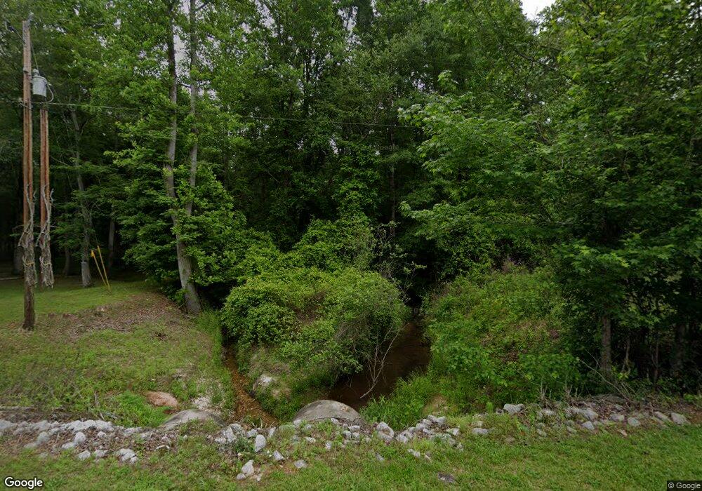
575 Arrowood Branch Rd Chesnee, SC 29323
--
Bed
--
Bath
--
Sq Ft
8.17
Acres
About This Home
This home is located at 575 Arrowood Branch Rd, Chesnee, SC 29323. 575 Arrowood Branch Rd is a home located in Spartanburg County with nearby schools including Chesnee Middle School and Chesnee High School.
Ownership History
Date
Name
Owned For
Owner Type
Purchase Details
Closed on
Feb 20, 2020
Sold by
Cooley Tammy D
Bought by
Cooley Faron Lynn
Purchase Details
Closed on
Sep 13, 2012
Sold by
Carousal Commons Llc
Bought by
Cooley Faron Lynn and Cooley Tammy D
Purchase Details
Closed on
May 27, 2008
Sold by
Myers Kimberly and South Kimberly D
Bought by
Carousel Commons Llc
Home Financials for this Owner
Home Financials are based on the most recent Mortgage that was taken out on this home.
Original Mortgage
$166,600
Interest Rate
5.53%
Mortgage Type
Unknown
Purchase Details
Closed on
May 23, 2008
Sold by
Webster Robin
Bought by
Carousel Commons Llc
Home Financials for this Owner
Home Financials are based on the most recent Mortgage that was taken out on this home.
Original Mortgage
$166,600
Interest Rate
5.53%
Mortgage Type
Unknown
Create a Home Valuation Report for This Property
The Home Valuation Report is an in-depth analysis detailing your home's value as well as a comparison with similar homes in the area
Home Values in the Area
Average Home Value in this Area
Purchase History
| Date | Buyer | Sale Price | Title Company |
|---|---|---|---|
| Cooley Faron Lynn | -- | None Available | |
| Cooley Faron Lynn | $134,000 | -- | |
| Carousel Commons Llc | $98,136 | -- | |
| Deercreek Angus Farms Llc | $196,889 | -- | |
| Carousel Commons Llc | $98,136 | -- |
Source: Public Records
Mortgage History
| Date | Status | Borrower | Loan Amount |
|---|---|---|---|
| Previous Owner | Carousel Commons Llc | $166,600 |
Source: Public Records
Tax History Compared to Growth
Tax History
| Year | Tax Paid | Tax Assessment Tax Assessment Total Assessment is a certain percentage of the fair market value that is determined by local assessors to be the total taxable value of land and additions on the property. | Land | Improvement |
|---|---|---|---|---|
| 2025 | $14 | $36 | $36 | -- |
| 2024 | $14 | $36 | $36 | -- |
| 2023 | $14 | $36 | $36 | $0 |
| 2022 | $15 | $36 | $36 | $0 |
| 2021 | $15 | $36 | $36 | $0 |
| 2020 | $14 | $36 | $36 | $0 |
| 2019 | $14 | $36 | $36 | $0 |
| 2018 | $14 | $36 | $36 | $0 |
| 2017 | $14 | $36 | $36 | $0 |
| 2016 | $14 | $36 | $36 | $0 |
| 2015 | $14 | $36 | $36 | $0 |
| 2014 | $14 | $36 | $36 | $0 |
Source: Public Records
Map
Nearby Homes
- 291 Robbins Rd
- 202 Arrowood Branch Rd
- 333 Mcswain Rd
- 0 Cantrell Dr
- 73 Pond View Ln Unit 66
- 73 Pond View Ln
- 107 Brooklyn Church Rd
- 0 State Road S-42-1879
- 537 State Road S-42-1879
- 545 State Road S-42-1879
- 553 State Road S-42-1879
- 557 State Road S-42-1879
- 561 State Road S-42-1879
- 565 State Road S-42-1879
- 569 State Road S-42-1879
- 0 Big Island Rd Unit 23524113
- 140 Manor House Ln
- 351 Smith Wall Rd
- 150 Rabbit Moffitt Rd
- 4086 Big Island Rd
- 595 Arrowood Branch Rd
- 555 Arrowood Branch Rd
- 641 Arrowood Branch Rd
- 641/595/575 Arrowood Branch Rd
- 550 Arrowood Branch Rd
- 641/595/57 Arrowood Branch Rd
- 505 Arrowood Branch Rd
- 499 Arrowood Branch Rd
- 700 Arrowood Branch Rd
- 495 Arrowood Branch Rd
- 510 Arrowood Branch Rd
- Lot 24 Arrowood Branch Rd
- Lot 23 Arrowood Branch Rd
- 713 Arrowood Branch Rd
- 451 Arrowood Branch Rd
- 716 Arrowood Branch Rd
- 725 Arrowood Branch Rd
- 400 Lewis Road (B)
- 400 Lewis Rd
- 8455 Parris Bridge Rd
