575 Calder Dr Point Roberts, WA 98281
Estimated Value: $627,000 - $751,000
3
Beds
3
Baths
1,519
Sq Ft
$450/Sq Ft
Est. Value
About This Home
This home is located at 575 Calder Dr, Point Roberts, WA 98281 and is currently estimated at $684,265, approximately $450 per square foot. 575 Calder Dr is a home with nearby schools including Point Roberts Primary School, Blaine Middle School, and Blaine High School.
Ownership History
Date
Name
Owned For
Owner Type
Purchase Details
Closed on
Aug 27, 2021
Sold by
Deane Kathryn Ann
Bought by
Bouma Anthony Bastiaan
Current Estimated Value
Home Financials for this Owner
Home Financials are based on the most recent Mortgage that was taken out on this home.
Original Mortgage
$480,000
Outstanding Balance
$436,764
Interest Rate
2.8%
Mortgage Type
New Conventional
Estimated Equity
$247,501
Purchase Details
Closed on
Mar 26, 2012
Sold by
Calder Brian and Gellatly David
Bought by
Burns Marnie
Create a Home Valuation Report for This Property
The Home Valuation Report is an in-depth analysis detailing your home's value as well as a comparison with similar homes in the area
Home Values in the Area
Average Home Value in this Area
Purchase History
| Date | Buyer | Sale Price | Title Company |
|---|---|---|---|
| Bouma Anthony Bastiaan | -- | Guardian Northwest Title | |
| Bouma Anthony Bastiaan | $600,000 | Guardian Northwest Title | |
| Burns Marnie | $230,880 | Whatcom Land Title |
Source: Public Records
Mortgage History
| Date | Status | Borrower | Loan Amount |
|---|---|---|---|
| Open | Bouma Anthony Bastiaan | $480,000 | |
| Closed | Bouma Anthony Bastiaan | $480,000 |
Source: Public Records
Tax History Compared to Growth
Tax History
| Year | Tax Paid | Tax Assessment Tax Assessment Total Assessment is a certain percentage of the fair market value that is determined by local assessors to be the total taxable value of land and additions on the property. | Land | Improvement |
|---|---|---|---|---|
| 2024 | $4,891 | $645,366 | $361,350 | $284,016 |
| 2023 | $4,891 | $612,516 | $328,500 | $284,016 |
| 2022 | $2,922 | $559,375 | $300,000 | $259,375 |
| 2021 | $2,910 | $294,530 | $113,696 | $180,834 |
| 2020 | $2,896 | $272,710 | $105,273 | $167,437 |
| 2019 | $2,684 | $261,589 | $100,980 | $160,609 |
| 2018 | $2,585 | $235,166 | $90,780 | $144,386 |
| 2017 | $2,241 | $224,597 | $86,700 | $137,897 |
| 2016 | $2,256 | $220,193 | $85,000 | $135,193 |
| 2015 | $2,400 | $215,510 | $82,119 | $133,391 |
| 2014 | -- | $225,299 | $85,850 | $139,449 |
| 2013 | -- | $215,522 | $82,450 | $133,072 |
Source: Public Records
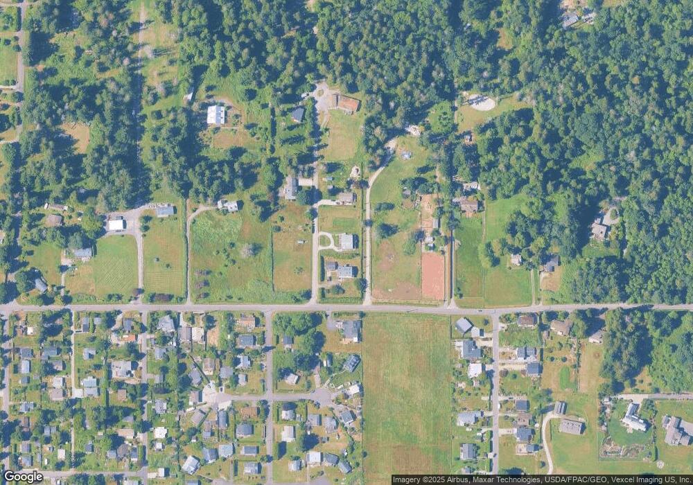
Map
Nearby Homes
- 2045 Apa Rd
- 1940 Apa Rd
- 1911 Apa Rd
- 1976 Cedar Park Dr
- 675 Sylvia Dr
- 634 S Beach Rd
- 1934 Waters Rd
- 661 Driftwood Ln
- lot 14 Cedar Park Dr Unit 14
- 698 Kendor Dr
- Lot 2 Greenwood Dr
- 0 6 39 Acres South Beach Rd
- 2149 Seabright Loop
- 1881 Edwards Dr
- 2128 Seabright Loop
- 2202 Seabright Loop
- 58 Seabright Loop
- 2250 Seabright Loop
- 1927 Orcas View Way
- 2246 Seabright Loop
- 1956 Apa Rd
- 568 Calder Dr
- 565 Calder Dr
- 0 Lot 4 Boundary Bay Rd
- 0 xxx Berry
- 558 Calder Dr
- 2003 Apa Rd
- 610 Crystal Beach Rd
- 1988 E Saturna Place
- 1994 Saturna Place
- 1986 E Saturna Place
- 0 Lot 78 Apa Rd
- Lot 5 Apa Rd
- 549 Calder Dr
- 2004 Apa Rd
- 1960 Apa Rd
- 1994 E Saturna Place
- 2030 Apa Rd
- 620 Crystal Beach Rd
- 1996 E Saturna Place