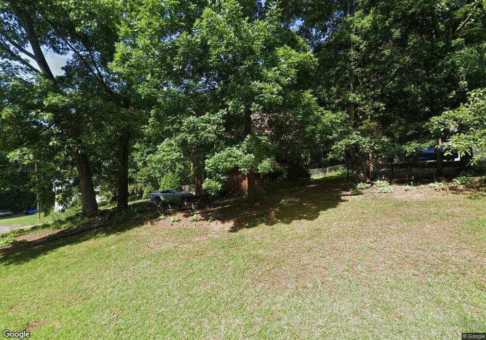
575 Cove Rd Unit 1 Canton, GA 30114
Estimated Value: $343,185 - $382,000
3
Beds
2
Baths
1,320
Sq Ft
$275/Sq Ft
Est. Value
About This Home
This home is located at 575 Cove Rd Unit 1, Canton, GA 30114 and is currently estimated at $362,593, approximately $274 per square foot. 575 Cove Rd Unit 1 is a home located in Cherokee County with nearby schools including Sixes Elementary School, Freedom Middle School, and Woodstock High School.
Ownership History
Date
Name
Owned For
Owner Type
Purchase Details
Closed on
Jun 17, 2024
Sold by
Landes Suzanne C
Bought by
Dupes Heather and Dupes Michael
Current Estimated Value
Purchase Details
Closed on
Feb 29, 2016
Sold by
Moss Donald C
Bought by
Landes Suzanne C
Home Financials for this Owner
Home Financials are based on the most recent Mortgage that was taken out on this home.
Original Mortgage
$140,409
Interest Rate
3.87%
Mortgage Type
FHA
Create a Home Valuation Report for This Property
The Home Valuation Report is an in-depth analysis detailing your home's value as well as a comparison with similar homes in the area
Home Values in the Area
Average Home Value in this Area
Purchase History
| Date | Buyer | Sale Price | Title Company |
|---|---|---|---|
| Dupes Heather | $350,000 | -- | |
| Landes Suzanne C | $149,000 | -- |
Source: Public Records
Mortgage History
| Date | Status | Borrower | Loan Amount |
|---|---|---|---|
| Previous Owner | Landes Suzanne C | $140,409 |
Source: Public Records
Tax History
| Year | Tax Paid | Tax Assessment Tax Assessment Total Assessment is a certain percentage of the fair market value that is determined by local assessors to be the total taxable value of land and additions on the property. | Land | Improvement |
|---|---|---|---|---|
| 2025 | $3,428 | $137,536 | $26,000 | $111,536 |
| 2024 | $2,788 | $119,256 | $24,000 | $95,256 |
| 2023 | $2,743 | $115,616 | $24,000 | $91,616 |
| 2022 | $2,300 | $94,776 | $24,000 | $70,776 |
| 2021 | $2,154 | $80,336 | $18,240 | $62,096 |
| 2020 | $1,948 | $71,376 | $16,000 | $55,376 |
| 2019 | $1,933 | $68,040 | $15,200 | $52,840 |
| 2018 | $1,747 | $61,120 | $14,000 | $47,120 |
| 2017 | $1,573 | $136,500 | $12,800 | $41,800 |
| 2016 | $1,292 | $116,700 | $11,200 | $35,480 |
| 2015 | $1,178 | $105,900 | $10,800 | $31,560 |
| 2014 | $867 | $79,300 | $6,000 | $25,720 |
Source: Public Records
Map
Nearby Homes
- 346 Wells Cir
- 364 Hillgrove Dr
- 3161 Marble Quarry Rd
- 1302 Sixes Rd
- 1415 Sixes Rd
- 151 Wentworth Dr
- 2550 Mountain Brook Rd
- 1600 Mountain Trace
- 415 Crestmont Ln
- 810 Lake Ridge Ct
- 206 Sawtooth Ct
- 208 Sawtooth Ct
- 376 Whitetail Cir
- 484 Crestmont Ln
- 1600 Sixes Rd
- 121 Northlake Trail Unit 4A
- 1620 Palm St
- 216 Manous Way
- 1414 Palm St
- 1021 Palm St
- 575 Cove Rd
- 515 Cove Rd Unit 15
- 515 Cove Rd
- 621 Cove Rd
- 2923 Mountain Brook Rd Unit 1
- 570 Cove Rd
- 550 Cove Rd
- 590 Cove Rd
- 510 Cove Rd Unit I
- 610 Cove Rd
- 630 Cove Rd
- 2905 Mountain Brook Rd
- 2905 Mountain Brook Rd
- 2905 Mountain Brook Rd Unit 14
- 2941 Mountain Brook Rd
- 2959 Mountain Brook Rd
- 530 Cove Rd
- 4295 Sherry Ln
- 490 Cove Rd
- 4291 Sherry Ln
Your Personal Tour Guide
Ask me questions while you tour the home.