575 Highway 41 S Barnesville, GA 30204
Estimated Value: $585,000 - $805,000
4
Beds
3
Baths
3,375
Sq Ft
$206/Sq Ft
Est. Value
About This Home
This home is located at 575 Highway 41 S, Barnesville, GA 30204 and is currently estimated at $695,320, approximately $206 per square foot. 575 Highway 41 S is a home located in Lamar County with nearby schools including Lamar County Primary School, Lamar County Elementary School, and Lamar County Middle School.
Ownership History
Date
Name
Owned For
Owner Type
Purchase Details
Closed on
Oct 12, 2023
Sold by
Adams James Robert
Bought by
Chandler Terrell Macey and Lindsey Terrell Mark
Current Estimated Value
Home Financials for this Owner
Home Financials are based on the most recent Mortgage that was taken out on this home.
Original Mortgage
$550,000
Outstanding Balance
$538,306
Interest Rate
7.18%
Mortgage Type
New Conventional
Estimated Equity
$157,014
Purchase Details
Closed on
Jun 26, 2012
Sold by
Adams James Robert
Bought by
Adams James Robert
Purchase Details
Closed on
Feb 1, 1992
Bought by
Adams James Robert
Create a Home Valuation Report for This Property
The Home Valuation Report is an in-depth analysis detailing your home's value as well as a comparison with similar homes in the area
Home Values in the Area
Average Home Value in this Area
Purchase History
| Date | Buyer | Sale Price | Title Company |
|---|---|---|---|
| Chandler Terrell Macey | $650,000 | -- | |
| Adams James Robert | -- | -- | |
| Adams James Robert | -- | -- |
Source: Public Records
Mortgage History
| Date | Status | Borrower | Loan Amount |
|---|---|---|---|
| Open | Chandler Terrell Macey | $550,000 |
Source: Public Records
Tax History Compared to Growth
Tax History
| Year | Tax Paid | Tax Assessment Tax Assessment Total Assessment is a certain percentage of the fair market value that is determined by local assessors to be the total taxable value of land and additions on the property. | Land | Improvement |
|---|---|---|---|---|
| 2025 | $4,480 | $257,724 | $62,940 | $194,784 |
| 2024 | $4,480 | $227,548 | $62,940 | $164,608 |
| 2023 | $3,980 | $210,835 | $62,940 | $147,895 |
| 2022 | $3,469 | $167,301 | $36,100 | $131,201 |
| 2021 | $1,930 | $109,978 | $38,159 | $71,819 |
| 2020 | $2,026 | $109,978 | $38,159 | $71,819 |
| 2019 | $2,026 | $109,978 | $38,159 | $71,819 |
| 2018 | $1,940 | $109,978 | $38,159 | $71,819 |
| 2017 | $1,929 | $109,978 | $38,159 | $71,819 |
| 2016 | $1,929 | $109,978 | $38,159 | $71,819 |
| 2015 | $1,920 | $109,978 | $38,159 | $71,819 |
| 2014 | $2,229 | $110,768 | $38,159 | $72,609 |
| 2013 | -- | $110,768 | $38,159 | $72,609 |
Source: Public Records
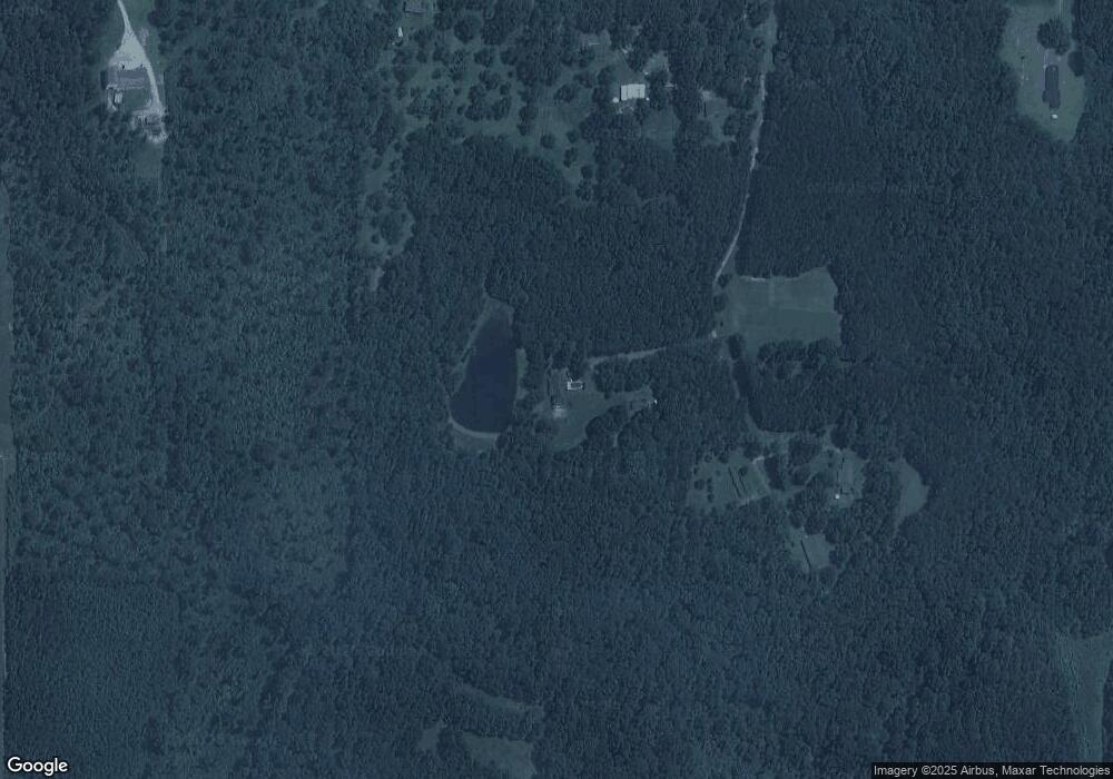
Map
Nearby Homes
- 0 Martin Luther King Junior Pkwy
- 0 Hannah St Unit LOT 1 10587177
- 0 Hannah Ct Unit LOT 13 10587187
- 0 Hannah Ct Unit LOT 10 10587183
- 0 Hannah Ct Unit LOT 14 10587190
- 0 Bush St Unit 10582678
- 108 Bradley Cir
- 110 Bradley Cir
- 0 Roberts Rd Unit 10593586
- 185 Coffey Rd Unit 11
- 205 Mathews St
- 187 Coffey Rd
- 308 Moye St
- 0 Coffey Rd Unit 10571841
- 205 Pine St
- 0 Us Highway 41
- 0 Veterans Unit 23619323
- 0 Veterans Unit 10429448
- 303 Carleeta St
- 202 Northside Dr
- 545 U S 41
- 595 Highway 41 S
- 581 Highway 41 S
- 597 Highway 41 S
- 555 Highway 41 S
- 545 Highway 41 S
- 529 Highway 41 S
- 618 Highway 41 S
- 848 Gordon Rd
- 618 U S 41
- 638 Highway 41 S
- 529 U S 41
- 30204 Cooper
- 850 Gordon Rd
- 523 Fredonia Church Rd
- 467 Fredonia Church Rd
- 467 Fredonia Church Rd
- 479 Fredonia Church Rd
- 487 Fredonia Church Rd
- 667 Highway 41 S