Estimated Value: $170,000 - $470,000
--
Bed
--
Bath
--
Sq Ft
0.9
Acres
About This Home
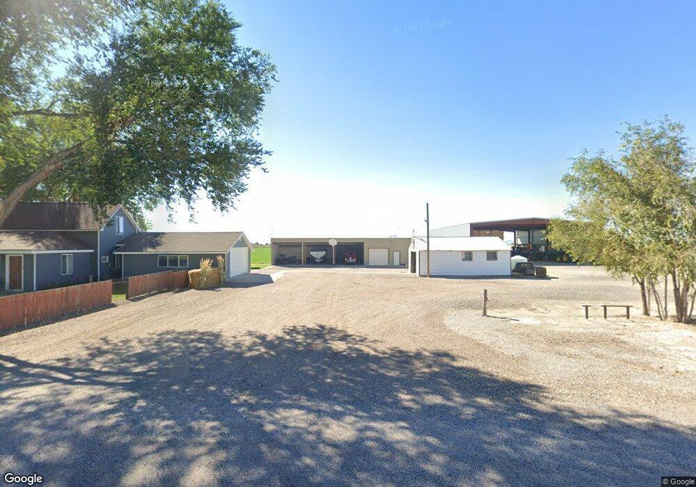
This home is located at 575 N 1000 W, Delta, UT 84624 and is currently estimated at $320,048. 575 N 1000 W is a home with nearby schools including Cba Center and White River Academy.
Ownership History
Date
Name
Owned For
Owner Type
Purchase Details
Closed on
Dec 18, 2024
Sold by
Bunker Kristopher Scott and Bunker Chayla Dee
Bought by
Bunker Kristopher Scott and Bunker Chayla
Current Estimated Value
Home Financials for this Owner
Home Financials are based on the most recent Mortgage that was taken out on this home.
Original Mortgage
$908,000
Outstanding Balance
$900,859
Interest Rate
6.79%
Mortgage Type
Credit Line Revolving
Estimated Equity
-$580,811
Purchase Details
Closed on
Jan 22, 2020
Sold by
Bunker Clyde L and Bunker Nan W
Bought by
Bunker Kristopher Scott and Bunker Chayla Dee
Create a Home Valuation Report for This Property
The Home Valuation Report is an in-depth analysis detailing your home's value as well as a comparison with similar homes in the area
Home Values in the Area
Average Home Value in this Area
Purchase History
| Date | Buyer | Sale Price | Title Company |
|---|---|---|---|
| Bunker Kristopher Scott | -- | First American Title Insurance | |
| Bunker Kristopher Scott | -- | First American Title |
Source: Public Records
Mortgage History
| Date | Status | Borrower | Loan Amount |
|---|---|---|---|
| Open | Bunker Kristopher Scott | $908,000 |
Source: Public Records
Tax History Compared to Growth
Tax History
| Year | Tax Paid | Tax Assessment Tax Assessment Total Assessment is a certain percentage of the fair market value that is determined by local assessors to be the total taxable value of land and additions on the property. | Land | Improvement |
|---|---|---|---|---|
| 2024 | $1,287 | $178,742 | $13,750 | $164,992 |
| 2023 | $1,287 | $178,742 | $13,750 | $164,992 |
| 2022 | $1,398 | $123,948 | $13,750 | $110,198 |
| 2021 | $1,165 | $99,723 | $12,100 | $87,623 |
| 2020 | $1,118 | $96,357 | $12,100 | $84,257 |
| 2019 | $1,077 | $93,764 | $12,100 | $81,664 |
| 2018 | $927 | $82,726 | $12,100 | $70,626 |
| 2017 | $928 | $79,426 | $8,800 | $70,626 |
| 2016 | $887 | $79,426 | $8,800 | $70,626 |
| 2015 | $886 | $79,426 | $8,800 | $70,626 |
| 2014 | -- | $79,426 | $8,800 | $70,626 |
| 2013 | -- | $78,670 | $8,800 | $69,870 |
Source: Public Records
Map
Nearby Homes
- 451 W 300 N
- 331 W 200 N
- 9000 W 1500 Rd N
- 435 W 100 S
- 185 N 200 W
- 391 N 100 Rd W
- 325 N 100 W
- 98 W 1000 N
- 1040 N Center St
- 255 S 400 W
- 163 W 100 S
- 284 N Center St
- 328 S Center St
- 0 E Highway 6 Unit LotWP001 16586023
- 445 Topaz Blvd Unit 10
- 461 Topaz Blvd Unit 6
- 7900 E 250 Rd N
- 901 E 750 Rd N
- 628 Sunset St
- 665 Bristlecone Ln