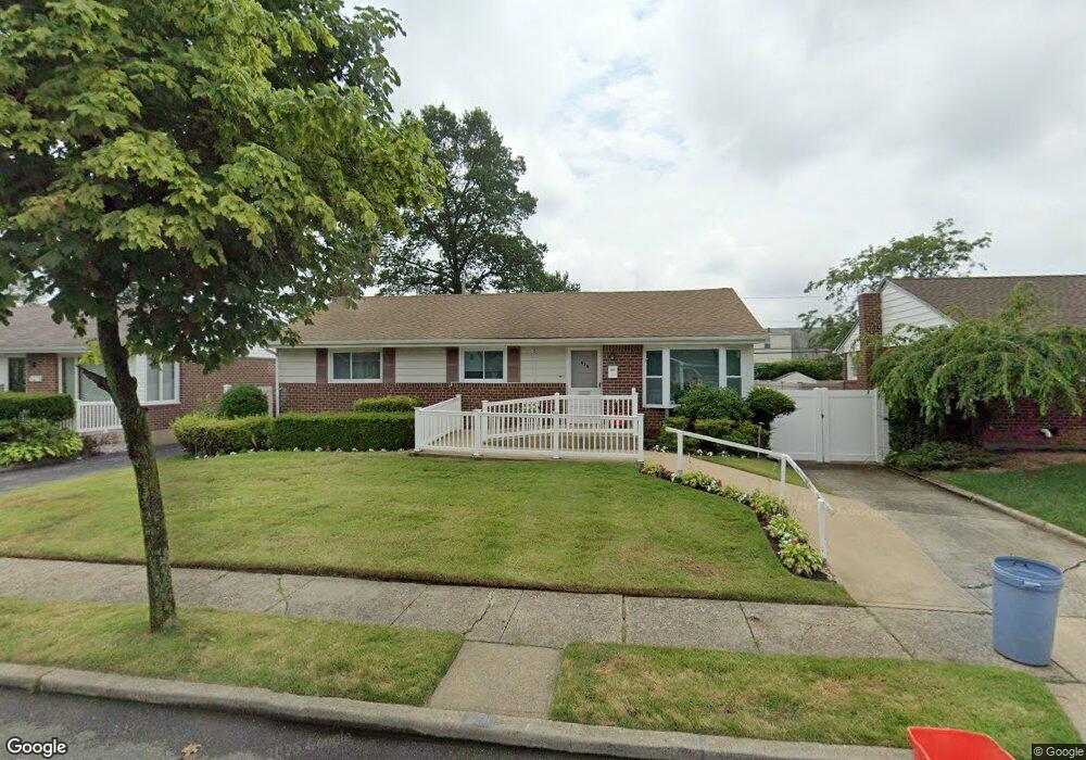
575 Pauley Dr West Hempstead, NY 11552
Estimated Value: $602,000 - $649,122
--
Bed
1
Bath
1,144
Sq Ft
$547/Sq Ft
Est. Value
About This Home
This home is located at 575 Pauley Dr, West Hempstead, NY 11552 and is currently estimated at $625,561, approximately $546 per square foot. 575 Pauley Dr is a home located in Nassau County with nearby schools including Hebrew Academy of Nassau County (HANC).
Ownership History
Date
Name
Owned For
Owner Type
Purchase Details
Closed on
Nov 21, 2017
Sold by
Horber Anton and Horber Maria
Bought by
Davydov Vadim and Davydov Frida
Current Estimated Value
Home Financials for this Owner
Home Financials are based on the most recent Mortgage that was taken out on this home.
Original Mortgage
$375,250
Outstanding Balance
$314,691
Interest Rate
3.88%
Mortgage Type
New Conventional
Estimated Equity
$310,870
Create a Home Valuation Report for This Property
The Home Valuation Report is an in-depth analysis detailing your home's value as well as a comparison with similar homes in the area
Home Values in the Area
Average Home Value in this Area
Purchase History
| Date | Buyer | Sale Price | Title Company |
|---|---|---|---|
| Davydov Vadim | $395,000 | Advantage Title |
Source: Public Records
Mortgage History
| Date | Status | Borrower | Loan Amount |
|---|---|---|---|
| Open | Davydov Vadim | $375,250 |
Source: Public Records
Tax History Compared to Growth
Tax History
| Year | Tax Paid | Tax Assessment Tax Assessment Total Assessment is a certain percentage of the fair market value that is determined by local assessors to be the total taxable value of land and additions on the property. | Land | Improvement |
|---|---|---|---|---|
| 2025 | $8,992 | $423 | $227 | $196 |
| 2024 | $3,391 | $414 | $223 | $191 |
| 2023 | $8,575 | $450 | $187 | $263 |
| 2022 | $8,575 | $439 | $236 | $203 |
| 2021 | $10,741 | $425 | $228 | $197 |
| 2020 | $7,367 | $575 | $546 | $29 |
| 2019 | $3,371 | $575 | $512 | $63 |
| 2018 | $5,309 | $613 | $0 | $0 |
| 2017 | $3,182 | $651 | $486 | $165 |
| 2016 | $6,493 | $666 | $419 | $247 |
| 2015 | $3,299 | $731 | $460 | $271 |
| 2014 | $3,299 | $731 | $460 | $271 |
| 2013 | $3,644 | $867 | $546 | $321 |
Source: Public Records
Map
Nearby Homes
- 19 Richard St
- 303 Nassau Blvd
- 350 Paul Place
- 231 Dogwood Ave
- 198 Guildford Ct
- 279 Semton Blvd
- 576 Western Park Dr
- 474 Roy St
- 594 Fenworth Blvd
- 537 Madison Ave
- 126 Oakland Ave
- 249 Grange St
- 149 Rule St
- 590 Langley Ave
- 613 Adams Ave
- 635 Hempstead Ave
- 757 Marion St
- 518 Nassau Blvd
- 56 Fendale St
- 190 Commonwealth St