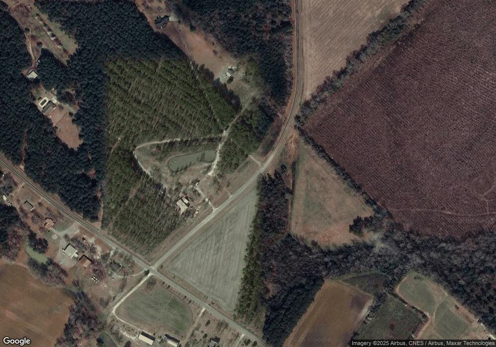
575 Phillip Manning Rd Dublin, GA 31021
Estimated Value: $234,000 - $286,936
--
Bed
3
Baths
2,057
Sq Ft
$126/Sq Ft
Est. Value
About This Home
This home is located at 575 Phillip Manning Rd, Dublin, GA 31021 and is currently estimated at $258,984, approximately $125 per square foot. 575 Phillip Manning Rd is a home located in Laurens County with nearby schools including Northwest Laurens Elementary School, East Laurens Primary School, and Southwest Laurens Elementary School.
Ownership History
Date
Name
Owned For
Owner Type
Purchase Details
Closed on
Jun 22, 2011
Sold by
Manning Christine
Bought by
Manning Jason Patrick
Current Estimated Value
Home Financials for this Owner
Home Financials are based on the most recent Mortgage that was taken out on this home.
Original Mortgage
$144,100
Outstanding Balance
$81,965
Interest Rate
4.62%
Mortgage Type
New Conventional
Estimated Equity
$177,019
Purchase Details
Closed on
Dec 28, 2000
Bought by
Manning Jason Patric
Create a Home Valuation Report for This Property
The Home Valuation Report is an in-depth analysis detailing your home's value as well as a comparison with similar homes in the area
Home Values in the Area
Average Home Value in this Area
Purchase History
| Date | Buyer | Sale Price | Title Company |
|---|---|---|---|
| Manning Jason Patrick | -- | -- | |
| Manning Jason Patric | -- | -- |
Source: Public Records
Mortgage History
| Date | Status | Borrower | Loan Amount |
|---|---|---|---|
| Open | Manning Jason Patrick | $144,100 |
Source: Public Records
Tax History Compared to Growth
Tax History
| Year | Tax Paid | Tax Assessment Tax Assessment Total Assessment is a certain percentage of the fair market value that is determined by local assessors to be the total taxable value of land and additions on the property. | Land | Improvement |
|---|---|---|---|---|
| 2024 | $1,865 | $90,605 | $7,477 | $83,128 |
| 2023 | $1,695 | $81,810 | $7,477 | $74,333 |
| 2022 | $1,740 | $81,592 | $7,259 | $74,333 |
| 2021 | $1,543 | $70,479 | $9,614 | $60,865 |
| 2020 | $1,545 | $70,479 | $9,614 | $60,865 |
| 2019 | $1,546 | $70,479 | $9,614 | $60,865 |
| 2018 | $1,548 | $70,479 | $9,614 | $60,865 |
| 2017 | $1,546 | $70,479 | $9,614 | $60,865 |
| 2016 | $1,548 | $70,479 | $9,614 | $60,865 |
| 2015 | $1,549 | $70,479 | $9,614 | $60,865 |
| 2014 | $1,627 | $72,310 | $11,181 | $61,129 |
Source: Public Records
Map
Nearby Homes
- 0 Mt Olive Unit 10469408
- 00 Mount Olive Rd
- 1204 Elmwood Rd
- 240 Wexford Ct
- 2836 Claxton Dairy Rd
- 745 Ga Highway 338
- 745 Georgia 338
- 0 Woodland Way Unit 10491928
- 00 Woodland Way
- 0 Claxton Dairy Rd Unit 25632
- 0 Claxton Dairy Rd Unit 19741
- 0 Claxton Dairy Rd Unit 22342
- 0 Claxton Dairy Rd Unit 22382
- 0 Claxton Dairy Rd Unit 22381
- 0 Claxton Dairy Rd Unit 22377
- 0 Claxton Dairy Rd Unit 22376
- 0 Claxton Dairy Rd Unit 22375
- Ga-338
- 490 Turner Cir
- 3142 Plantation Dr
- 0 Phillip Manning Rd
- 00000 Phillip Manning Rd
- 00 Phillip Manning Rd
- 591 Phillip Manning Rd
- 1603 Marley Cannon Rd
- 513 Phillip Manning Rd
- 1588 Marley Cannon Rd
- 1560 Mount Olive Rd
- 1598 Marley Cannon Rd
- 1542 Marley Cannon Rd
- 1583 Mount Olive Rd
- 1591 Mount Olive Rd
- 1513 Marley Cannon Rd
- 1618 Mount Olive Rd
- 1622 Marley Cannon Rd
- 1505 Marley Cannon Rd
- 1595 Mount Olive Rd
- 0 Mt Olive Unit 7455898
- 0 Mt Olive Unit 7528811
- 0 Mt Olive Unit 7447
