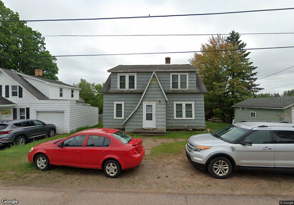
575 River St Ishpeming, MI 49849
Estimated Value: $194,995 - $210,000
3
Beds
2
Baths
1,560
Sq Ft
$129/Sq Ft
Est. Value
About This Home
This home is located at 575 River St, Ishpeming, MI 49849 and is currently estimated at $201,499, approximately $129 per square foot. 575 River St is a home located in Marquette County with nearby schools including Aspen Ridge School and Westwood High School.
Ownership History
Date
Name
Owned For
Owner Type
Purchase Details
Closed on
Feb 14, 2025
Sold by
Sandberg Kristin M
Bought by
Carter Dustin A and Carter Alaina M
Current Estimated Value
Home Financials for this Owner
Home Financials are based on the most recent Mortgage that was taken out on this home.
Original Mortgage
$172,078
Outstanding Balance
$171,055
Interest Rate
6.91%
Mortgage Type
New Conventional
Estimated Equity
$30,444
Purchase Details
Closed on
Jan 23, 2025
Sold by
Seelen Bridget Erin
Bought by
Sandberg Kristin M
Home Financials for this Owner
Home Financials are based on the most recent Mortgage that was taken out on this home.
Original Mortgage
$172,078
Outstanding Balance
$171,055
Interest Rate
6.91%
Mortgage Type
New Conventional
Estimated Equity
$30,444
Purchase Details
Closed on
Oct 28, 2005
Bought by
Seelen Bridget
Create a Home Valuation Report for This Property
The Home Valuation Report is an in-depth analysis detailing your home's value as well as a comparison with similar homes in the area
Home Values in the Area
Average Home Value in this Area
Purchase History
| Date | Buyer | Sale Price | Title Company |
|---|---|---|---|
| Carter Dustin A | $177,400 | None Listed On Document | |
| Sandberg Kristin M | -- | None Listed On Document | |
| Seelen Bridget | $52,000 | -- |
Source: Public Records
Mortgage History
| Date | Status | Borrower | Loan Amount |
|---|---|---|---|
| Open | Carter Dustin A | $172,078 |
Source: Public Records
Tax History
| Year | Tax Paid | Tax Assessment Tax Assessment Total Assessment is a certain percentage of the fair market value that is determined by local assessors to be the total taxable value of land and additions on the property. | Land | Improvement |
|---|---|---|---|---|
| 2025 | $785 | $69,600 | $0 | $0 |
| 2024 | $8 | $69,200 | $0 | $0 |
| 2023 | $483 | $61,900 | $0 | $0 |
| 2022 | $1,098 | $50,900 | $0 | $0 |
| 2021 | $1,041 | $53,500 | $0 | $0 |
| 2020 | $1,030 | $50,900 | $0 | $0 |
| 2019 | $1,012 | $49,000 | $0 | $0 |
| 2018 | $1,034 | $42,100 | $0 | $0 |
| 2017 | $1,033 | $44,700 | $0 | $0 |
| 2016 | $1,025 | $44,250 | $0 | $0 |
| 2015 | -- | $44,250 | $0 | $0 |
| 2014 | -- | $44,250 | $0 | $0 |
| 2012 | -- | $44,250 | $0 | $0 |
Source: Public Records
Map
Nearby Homes
- 235 Balsam Ln
- 125 Helen St
- 125 Lawrence Ave
- 162 Saginaw St
- 1071 & 1075 Highland Dr
- 312 W Ridge St
- 200 W Ridge St
- 818 N Pine St
- 114 E Superior St
- 113 N 2nd St
- 401 Cleveland Ave
- 408 E Empire St
- 635 N 5th St
- 612 Maurice St
- 242 Hill St
- TBD Us Highway 41
- 258 Hill St
- 645 Palms Ave
- Lot #10 N Greenwood
- 684 Mather Ave
Your Personal Tour Guide
Ask me questions while you tour the home.