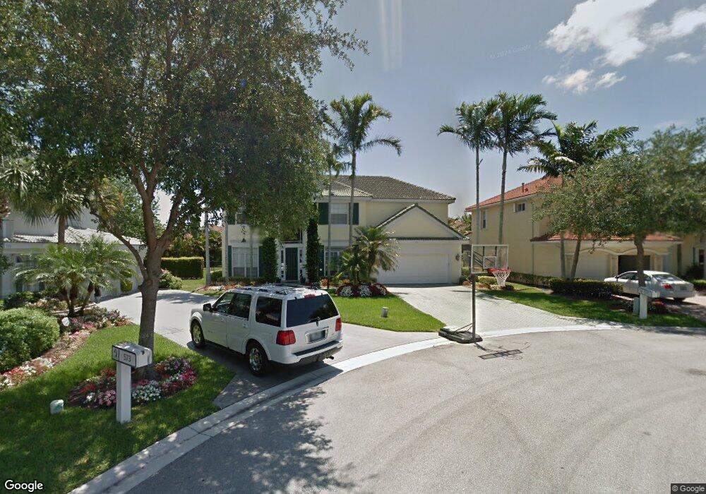
575 Sawgrass Point Jupiter, FL 33458
North Palm Beach Heights NeighborhoodEstimated Value: $1,202,220 - $1,303,000
4
Beds
3
Baths
3,426
Sq Ft
$362/Sq Ft
Est. Value
About This Home
This home is located at 575 Sawgrass Point, Jupiter, FL 33458 and is currently estimated at $1,241,055, approximately $362 per square foot. 575 Sawgrass Point is a home located in Palm Beach County with nearby schools including Jerry Thomas Elementary School, Independence Middle School, and Jupiter High School.
Ownership History
Date
Name
Owned For
Owner Type
Purchase Details
Closed on
May 18, 2000
Sold by
Pulte Home Corp
Bought by
Rienas Randy and Rienas Sherry
Current Estimated Value
Purchase Details
Closed on
Jul 28, 1999
Sold by
Plethora Inc
Bought by
Pulte Home Corp
Create a Home Valuation Report for This Property
The Home Valuation Report is an in-depth analysis detailing your home's value as well as a comparison with similar homes in the area
Home Values in the Area
Average Home Value in this Area
Purchase History
| Date | Buyer | Sale Price | Title Company |
|---|---|---|---|
| Rienas Randy | $364,100 | -- | |
| Pulte Home Corp | $183,900 | -- |
Source: Public Records
Mortgage History
| Date | Status | Borrower | Loan Amount |
|---|---|---|---|
| Closed | Pulte Home Corp | $0 | |
| Closed | Pulte Home Corp | $36,400 |
Source: Public Records
Tax History
| Year | Tax Paid | Tax Assessment Tax Assessment Total Assessment is a certain percentage of the fair market value that is determined by local assessors to be the total taxable value of land and additions on the property. | Land | Improvement |
|---|---|---|---|---|
| 2025 | $7,391 | $470,397 | -- | -- |
| 2024 | $7,391 | $457,140 | -- | -- |
| 2023 | $7,276 | $443,825 | $0 | $0 |
| 2022 | $7,279 | $430,898 | $0 | $0 |
| 2021 | $7,232 | $418,348 | $0 | $0 |
| 2020 | $7,232 | $412,572 | $0 | $0 |
| 2019 | $7,153 | $403,296 | $0 | $0 |
| 2018 | $6,806 | $395,776 | $0 | $0 |
| 2017 | $6,747 | $387,636 | $0 | $0 |
| 2016 | $7,573 | $379,663 | $0 | $0 |
| 2015 | $7,841 | $377,024 | $0 | $0 |
| 2014 | $7,938 | $374,032 | $0 | $0 |
Source: Public Records
Map
Nearby Homes
- 6085 Robinson St
- 6031 Robinson St
- 3032 W Community Dr
- 1019 Egret Cir N
- 227 Caravelle Dr
- 110 Bonaire Ln
- 231 Sparrow Point
- 236 Sparrow Point
- 102 Bonaire Ln
- 6249 Foster St
- 220 Blackbird Ln
- 484 Otter Ln N
- 6334 Foster St
- 6435 Foster St
- 1703 W Community Dr
- 205 Brier Cir
- 212 Florence Dr
- 262 Brier Cir Unit 128
- 3518 Community Dr
- 429 Oriole Cir
- 574 Sawgrass Point
- 573 Sawgrass Point
- 557 Rookery Place
- 547 Rookery Place
- 561 Rookery Place
- 545 Rookery Place
- 555 Rookery Place
- 563 Rookery Place
- 543 Rookery Place
- 572 Sawgrass Point
- 1230 Egret Cir S
- 570 Sawgrass Point
- 541 Rookery Place
- 565 Rookery Place
- 548 Rookery Place
- 546 Rookery Place
- 1222 Egret Cir S
- 550 Rookery Place
- 539 Rookery Place
- 544 Rookery Place
Your Personal Tour Guide
Ask me questions while you tour the home.