575 State Highway Bb Seymour, MO 65746
Estimated Value: $235,000 - $301,230
--
Bed
--
Bath
1,334
Sq Ft
$208/Sq Ft
Est. Value
About This Home
This home is located at 575 State Highway Bb, Seymour, MO 65746 and is currently estimated at $277,808, approximately $208 per square foot. 575 State Highway Bb is a home with nearby schools including Seymour Elementary School, Seymour Middle School, and Seymour High School.
Ownership History
Date
Name
Owned For
Owner Type
Purchase Details
Closed on
Feb 21, 2025
Sold by
Lee William James and Lee Wanda Eris
Bought by
William And Wanda Lee Map Trust and Capon
Current Estimated Value
Purchase Details
Closed on
Nov 12, 2024
Sold by
Terrill Mark and Terrill Susan
Bought by
Diehls Kyle
Purchase Details
Closed on
Nov 7, 2024
Sold by
Lee Jimmy and Lee William James
Bought by
Lee William James and Lee Wanda Eris
Create a Home Valuation Report for This Property
The Home Valuation Report is an in-depth analysis detailing your home's value as well as a comparison with similar homes in the area
Home Values in the Area
Average Home Value in this Area
Purchase History
| Date | Buyer | Sale Price | Title Company |
|---|---|---|---|
| William And Wanda Lee Map Trust | -- | None Listed On Document | |
| William And Wanda Lee Map Trust | -- | None Listed On Document | |
| Diehls Kyle | -- | None Listed On Document | |
| Diehls Kyle | -- | None Listed On Document | |
| Lee William James | -- | None Listed On Document |
Source: Public Records
Tax History Compared to Growth
Tax History
| Year | Tax Paid | Tax Assessment Tax Assessment Total Assessment is a certain percentage of the fair market value that is determined by local assessors to be the total taxable value of land and additions on the property. | Land | Improvement |
|---|---|---|---|---|
| 2024 | $805 | $19,080 | $0 | $0 |
| 2023 | $791 | $19,080 | $0 | $0 |
| 2022 | $806 | $19,460 | $0 | $0 |
| 2021 | $805 | $19,460 | $0 | $0 |
| 2020 | $779 | $17,860 | $0 | $0 |
| 2019 | $645 | $17,860 | $0 | $0 |
| 2018 | $646 | $17,880 | $0 | $0 |
| 2017 | $646 | $17,880 | $0 | $0 |
| 2016 | $587 | $16,080 | $0 | $0 |
| 2015 | $577 | $16,080 | $0 | $0 |
| 2012 | -- | $15,830 | $0 | $0 |
Source: Public Records
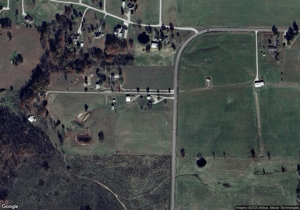
Map
Nearby Homes
- 18313 State Highway Bb
- 107 Melinda St
- 1048 W Thoroughfare St
- 0000 Lots Between K Hwy and Water St
- 285 Velma Dr
- 412 S Court St
- 270 Velma Dr
- 244 N Karen Cir
- 671 Boardwalk
- 736 Boardwalk
- 000 State Highway K
- 413 S Water St
- 1311 W Clinton Ave
- 792 Frog Pond Rd
- 214 E Center Ave
- 221 E Center Ave
- 000 Enterprise Dr
- 29 Enterprise Dr Unit Tract 8,9,10 &11
- 409 E Washington St
- 414 S A St
- 501 State Highway Bb
- Tr 2 State Highway Bb
- Tr 1 State Highway Bb
- 00 State Highway Bb
- 16729 State Highway Bb
- 17230 State Highway Bb
- 1160 Stacey St
- 1210 Stacey St
- 1009 Stacey St
- 387 Corner Stone Rd
- 947 Cornerstone Rd
- 387 Cornerstone Rd
- 159 Ernest Ln
- 802 W Mack Rd
- 227 Melinda St
- 1201 Stacey St
- 302 Suzey St
- 218 Melinda St
- 1310 Stacey St
- 219 Melinda St