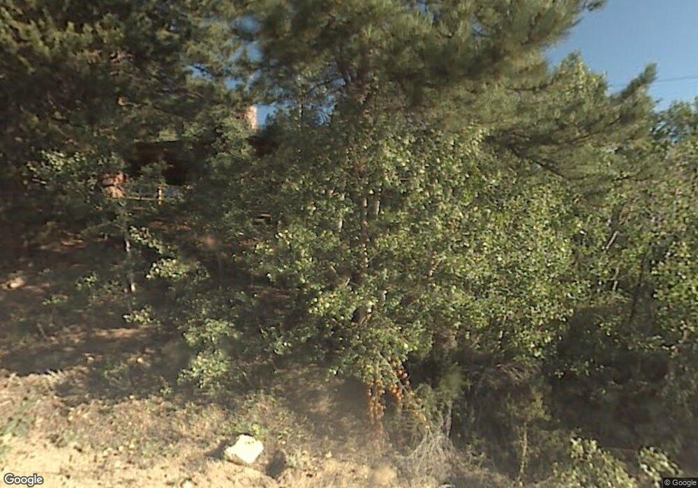
575 W 1st St Nederland, CO 80466
Estimated Value: $525,698 - $611,000
3
Beds
1
Bath
1,322
Sq Ft
$435/Sq Ft
Est. Value
About This Home
This home is located at 575 W 1st St, Nederland, CO 80466 and is currently estimated at $575,675, approximately $435 per square foot. 575 W 1st St is a home with nearby schools including Nederland Elementary School and Nederland Middle-Senior High School.
Ownership History
Date
Name
Owned For
Owner Type
Purchase Details
Closed on
Aug 24, 2005
Sold by
Stehouwer Lenore L and Stehouwer Ronald D
Bought by
Stehouwer Lenore L
Current Estimated Value
Purchase Details
Closed on
Aug 13, 2001
Sold by
Stehouwer Ronald D
Bought by
Stehouwer Lenore L
Purchase Details
Closed on
May 30, 2001
Sold by
Churchill Virginia L and Stehouwer Lenore L
Bought by
Stehouwer Ronald D
Purchase Details
Closed on
Jun 9, 1986
Bought by
Stehouwer Lenore L
Purchase Details
Closed on
May 22, 1986
Bought by
Stehouwer Lenore L
Create a Home Valuation Report for This Property
The Home Valuation Report is an in-depth analysis detailing your home's value as well as a comparison with similar homes in the area
Home Values in the Area
Average Home Value in this Area
Purchase History
| Date | Buyer | Sale Price | Title Company |
|---|---|---|---|
| Stehouwer Lenore L | -- | -- | |
| Stehouwer Lenore L | -- | -- | |
| Stehouwer Ronald D | $135,000 | -- | |
| Stehouwer Lenore L | -- | -- | |
| Stehouwer Lenore L | -- | -- |
Source: Public Records
Tax History Compared to Growth
Tax History
| Year | Tax Paid | Tax Assessment Tax Assessment Total Assessment is a certain percentage of the fair market value that is determined by local assessors to be the total taxable value of land and additions on the property. | Land | Improvement |
|---|---|---|---|---|
| 2025 | $2,962 | $29,225 | $5,781 | $23,444 |
| 2024 | $2,962 | $29,225 | $5,781 | $23,444 |
| 2023 | $2,883 | $25,788 | $5,407 | $24,066 |
| 2022 | $2,835 | $24,241 | $4,802 | $19,439 |
| 2021 | $2,795 | $24,940 | $4,941 | $19,999 |
| 2020 | $2,576 | $22,745 | $6,650 | $16,095 |
| 2019 | $2,545 | $22,745 | $6,650 | $16,095 |
| 2018 | $2,265 | $20,023 | $8,568 | $11,455 |
| 2017 | $2,218 | $22,136 | $9,472 | $12,664 |
| 2016 | $2,160 | $19,001 | $10,826 | $8,175 |
| 2015 | $2,070 | $16,358 | $4,219 | $12,139 |
| 2014 | $1,862 | $16,358 | $4,219 | $12,139 |
Source: Public Records
Map
Nearby Homes
- 0 Peak To Peak Hwy Unit REC2002177
- 0 Peak To Peak Hwy Unit 1040129
- 0 Peak To Peak Hwy Unit 1042718
- 105 S Caribou St
- 470 W Spring St
- 550 W Breed St
- 252 5th St
- 850 W 5th St
- 590 W Pine St
- 87 Sundance Cir
- 710 Mcmillen Way
- 135 E 2nd St
- 0 E 5th St Unit 1034288
- 242 E 5th St
- 24333 Peak To Peak Hwy
- 11650 Peak To Peak Hwy
- 5 Ridge View Rd
- 11 Ridge View Rd
- 225 Indian Peaks Dr
- 9 Ridge View Rd
- 517 W 1st St
- 727 W 1st St
- 501 W 1st St
- 499 W 1st St
- 755 W 1st St
- 523 Highway 72 St
- 411 W 1st St
- 521 Colorado 72
- 519 Highway 72
- 602 W 3rd St
- 0 Peak To Peak Hwy Unit 3212106
- 0 Peak To Peak Hwy Unit 522470
- 0 Peak To Peak Hwy Unit 362876
- 0 Peak To Peak Hwy Unit 545144
- 0 Peak To Peak Hwy Unit 478429
- 0 Peak To Peak Hwy Unit 439167
- 0 Peak To Peak Hwy Unit 204908
- 0 Peak To Peak Hwy Unit 183932
- 0 Peak To Peak Hwy Unit 913376
- 0 Peak To Peak Hwy Unit 2134928
