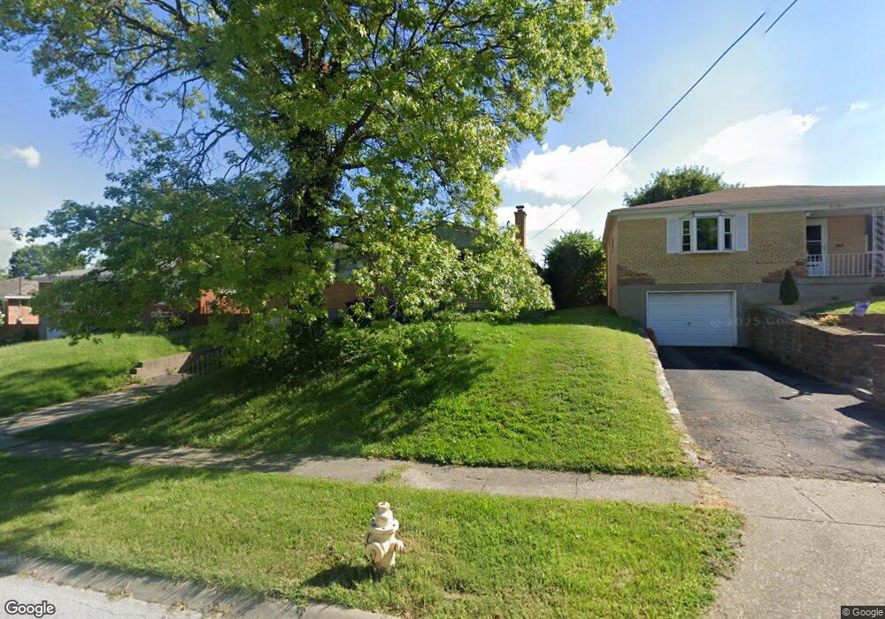
5750 Timrick Ct Cincinnati, OH 45238
Westwood NeighborhoodEstimated Value: $197,932 - $240,000
3
Beds
1
Bath
1,473
Sq Ft
$147/Sq Ft
Est. Value
About This Home
This home is located at 5750 Timrick Ct, Cincinnati, OH 45238 and is currently estimated at $216,983, approximately $147 per square foot. 5750 Timrick Ct is a home located in Hamilton County with nearby schools including Midway Elementary School, Western Hills High School, and Gilbert A. Dater High School.
Ownership History
Date
Name
Owned For
Owner Type
Purchase Details
Closed on
Aug 31, 2007
Sold by
Paff Robert W and Paff Nancy M
Bought by
Sawyer Kwami and Sawyer Patience B
Current Estimated Value
Purchase Details
Closed on
Apr 30, 1996
Sold by
Bischof Joseph A and Bischof Rita R
Bought by
Lind Nancy M and Paff Robert W
Home Financials for this Owner
Home Financials are based on the most recent Mortgage that was taken out on this home.
Original Mortgage
$89,000
Outstanding Balance
$2,517
Interest Rate
7.78%
Estimated Equity
$214,466
Create a Home Valuation Report for This Property
The Home Valuation Report is an in-depth analysis detailing your home's value as well as a comparison with similar homes in the area
Home Values in the Area
Average Home Value in this Area
Purchase History
| Date | Buyer | Sale Price | Title Company |
|---|---|---|---|
| Sawyer Kwami | $115,000 | Attorney | |
| Lind Nancy M | $99,000 | -- |
Source: Public Records
Mortgage History
| Date | Status | Borrower | Loan Amount |
|---|---|---|---|
| Open | Lind Nancy M | $89,000 |
Source: Public Records
Tax History
| Year | Tax Paid | Tax Assessment Tax Assessment Total Assessment is a certain percentage of the fair market value that is determined by local assessors to be the total taxable value of land and additions on the property. | Land | Improvement |
|---|---|---|---|---|
| 2025 | $3,474 | $56,256 | $6,636 | $49,620 |
| 2024 | $3,369 | $56,256 | $6,636 | $49,620 |
| 2023 | $3,618 | $56,256 | $6,636 | $49,620 |
| 2022 | $2,308 | $33,730 | $5,390 | $28,340 |
| 2021 | $2,218 | $33,730 | $5,390 | $28,340 |
| 2020 | $2,283 | $33,730 | $5,390 | $28,340 |
| 2019 | $2,268 | $30,664 | $4,900 | $25,764 |
| 2018 | $2,272 | $30,664 | $4,900 | $25,764 |
| 2017 | $2,158 | $30,664 | $4,900 | $25,764 |
| 2016 | $2,686 | $37,674 | $5,684 | $31,990 |
| 2015 | $2,422 | $37,674 | $5,684 | $31,990 |
| 2014 | $2,439 | $37,674 | $5,684 | $31,990 |
| 2013 | $2,584 | $39,246 | $5,922 | $33,324 |
Source: Public Records
Map
Nearby Homes
- 3305 Queen City Ave
- 3311 Queen City Ave
- 2647 Foran Dr
- 2925 Boudinot Ave
- 3172 Werk Rd
- 2445 Nova Ave
- 3106 Werk Rd
- 3114 Ramona Ave
- 3230 Stanhope Ave
- 2195 Woodmere Ct
- 3010 Ferguson Rd
- 2987 Westbrook Dr
- 3244 Glenmore Ave
- 2299 Townhill Rd
- 3041 Crestmoor Ln
- 2171 Sylved Ln
- 3330 Sheridan St Unit 3330
- 2901 W Tower Ave
- 2885 W Tower Ave
- 3317 Buell St
Your Personal Tour Guide
Ask me questions while you tour the home.