5751 Manheim Rd Waynesboro, PA 17268
Estimated Value: $183,000 - $354,000
--
Bed
--
Bath
1,904
Sq Ft
$137/Sq Ft
Est. Value
About This Home
This home is located at 5751 Manheim Rd, Waynesboro, PA 17268 and is currently estimated at $261,416, approximately $137 per square foot. 5751 Manheim Rd is a home with nearby schools including Waynesboro Area Senior High School and Providence School - Pigeon Hill Building.
Ownership History
Date
Name
Owned For
Owner Type
Purchase Details
Closed on
Aug 24, 2020
Sold by
Whittington Ray E and Whittington Stephanie A
Bought by
Whittington Ray E
Current Estimated Value
Purchase Details
Closed on
Sep 28, 2006
Sold by
Sanders Wilbur N and Sanders Cheryl M
Bought by
Whittington Ray E and Whittington Stephanie A
Home Financials for this Owner
Home Financials are based on the most recent Mortgage that was taken out on this home.
Original Mortgage
$100,000
Outstanding Balance
$59,870
Interest Rate
6.52%
Mortgage Type
Purchase Money Mortgage
Estimated Equity
$201,546
Create a Home Valuation Report for This Property
The Home Valuation Report is an in-depth analysis detailing your home's value as well as a comparison with similar homes in the area
Home Values in the Area
Average Home Value in this Area
Purchase History
| Date | Buyer | Sale Price | Title Company |
|---|---|---|---|
| Whittington Ray E | -- | None Available | |
| Whittington Ray E | $70,000 | None Available |
Source: Public Records
Mortgage History
| Date | Status | Borrower | Loan Amount |
|---|---|---|---|
| Open | Whittington Ray E | $100,000 |
Source: Public Records
Tax History Compared to Growth
Tax History
| Year | Tax Paid | Tax Assessment Tax Assessment Total Assessment is a certain percentage of the fair market value that is determined by local assessors to be the total taxable value of land and additions on the property. | Land | Improvement |
|---|---|---|---|---|
| 2025 | $2,699 | $18,500 | $1,180 | $17,320 |
| 2024 | $2,616 | $18,500 | $1,180 | $17,320 |
| 2023 | $2,544 | $18,500 | $1,180 | $17,320 |
| 2022 | $2,470 | $18,500 | $1,180 | $17,320 |
| 2021 | $2,396 | $18,500 | $1,180 | $17,320 |
| 2020 | $2,396 | $18,500 | $1,180 | $17,320 |
| 2019 | $2,341 | $18,500 | $1,180 | $17,320 |
| 2018 | $2,262 | $18,500 | $1,180 | $17,320 |
| 2017 | $2,211 | $18,500 | $1,180 | $17,320 |
| 2016 | $146 | $5,100 | $1,180 | $3,920 |
| 2015 | $136 | $5,100 | $1,180 | $3,920 |
| 2014 | $136 | $5,100 | $1,180 | $3,920 |
Source: Public Records
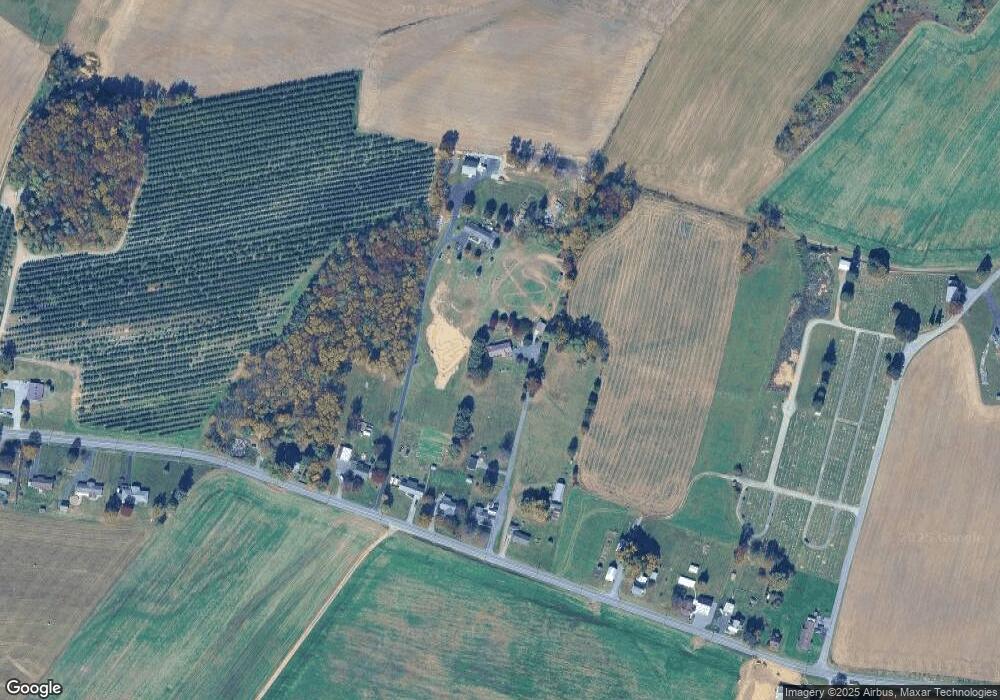
Map
Nearby Homes
- 5434 Manheim Rd
- 7468 Anthony Hwy
- 6456 Wayne Hwy
- 6159 Orphanage Rd
- 286 Verdier St
- 6 S Main St
- 207 University Dr
- 111 Poplar St
- 8655 Wayne Hwy
- 8620 Monns Gap Rd
- 8652 Mormon Church Rd
- 7205 Fairway Dr S
- 6158 Merion Dr
- 5118 Burkholder Rd
- 6337 Medina Ridge Dr
- 3891 Alfalfa Ln
- 3881 Farmstead Dr
- 6396 Saucon Valley Dr
- 7130 St Annes Dr
- 7136 Sandwich Ln
- 5691 Manheim Rd
- 5725 Manheim Rd
- 5765 Manheim Rd
- 5719 Manheim Rd
- 5741 Manheim Rd
- 5659 Manheim Rd
- 5851 Manheim Rd
- 5617 Manheim Rd
- 5893 Manheim Rd
- 5915 Manheim Rd
- 5516 Manheim Rd
- 5933 Mount Zion Rd
- 5484 Manheim Rd
- 6075 Mount Zion Rd
- 5456 Manheim Rd
- 6000 Manheim Rd
- 6080 Mount Zion Rd
- 5393 Manheim Rd
- 5393 Manheim Rd
- 5368 Manheim Rd