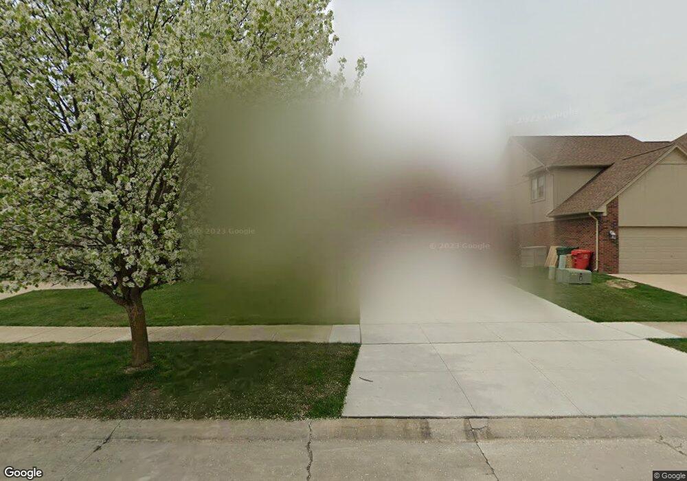
57519 Suffield Dr Washington, MI 48094
Estimated Value: $425,842 - $591,000
3
Beds
3
Baths
2,072
Sq Ft
$238/Sq Ft
Est. Value
About This Home
This home is located at 57519 Suffield Dr, Washington, MI 48094 and is currently estimated at $493,961, approximately $238 per square foot. 57519 Suffield Dr is a home located in Macomb County with nearby schools including Peace Lutheran School.
Ownership History
Date
Name
Owned For
Owner Type
Purchase Details
Closed on
May 23, 2022
Sold by
Halloran Lames P and Halloran Lidia I
Bought by
Halloran Lames P and Halloran Lidia I
Current Estimated Value
Purchase Details
Closed on
Jul 12, 2001
Sold by
Gem Homes Inc
Bought by
Halloran James P
Home Financials for this Owner
Home Financials are based on the most recent Mortgage that was taken out on this home.
Original Mortgage
$196,600
Interest Rate
7.06%
Purchase Details
Closed on
Dec 20, 1999
Sold by
Breckenridge Subdivision
Bought by
Halloran James P
Create a Home Valuation Report for This Property
The Home Valuation Report is an in-depth analysis detailing your home's value as well as a comparison with similar homes in the area
Home Values in the Area
Average Home Value in this Area
Purchase History
| Date | Buyer | Sale Price | Title Company |
|---|---|---|---|
| Halloran Lames P | -- | None Listed On Document | |
| Halloran James P | $242,645 | -- | |
| Halloran James P | $50,000 | -- |
Source: Public Records
Mortgage History
| Date | Status | Borrower | Loan Amount |
|---|---|---|---|
| Previous Owner | Halloran James P | $196,600 |
Source: Public Records
Tax History
| Year | Tax Paid | Tax Assessment Tax Assessment Total Assessment is a certain percentage of the fair market value that is determined by local assessors to be the total taxable value of land and additions on the property. | Land | Improvement |
|---|---|---|---|---|
| 2025 | $2,951 | $203,200 | $0 | $0 |
| 2024 | $28 | $210,700 | $0 | $0 |
| 2023 | $2,716 | $176,000 | $0 | $0 |
| 2022 | $3,774 | $160,200 | $0 | $0 |
| 2021 | $3,974 | $154,400 | $0 | $0 |
| 2020 | $2,515 | $148,400 | $0 | $0 |
| 2019 | $3,388 | $141,900 | $0 | $0 |
| 2018 | $0 | $134,700 | $0 | $0 |
| 2017 | $3,202 | $128,600 | $23,400 | $105,200 |
| 2016 | $3,207 | $128,600 | $0 | $0 |
| 2015 | -- | $123,300 | $0 | $0 |
| 2013 | $2,968 | $114,100 | $19,800 | $94,300 |
| 2012 | $2,968 | $101,200 | $0 | $0 |
Source: Public Records
Map
Nearby Homes
- 7427 Emerson
- 7640 Garland
- 57136 Megan Dr
- 7340 Smale St
- 6988 Boulder Pointe Dr Unit 85
- 58019 Van Dyke Rd
- 5748 Brookside Ln
- 58106 Delmar
- 58843 Gallery Ct Unit 28
- 5500 Crystal Creek Ln
- 0 Cathey Unit Lot 4
- 0 Cathey Unit Lot 5
- 00 Wicker
- 000 Wicker
- 58210 Timothy Ln
- 55712 Glenbrooke Dr
- 56696 Long Island Dr Unit 26
- 55667 Lochmoor Dr
- 6641 Shadydale Dr
- 57714 Abraham Dr
- 57537 Suffield Dr
- 57501 Suffield Dr
- 57555 Suffield Dr
- 57483 Suffield Dr
- 6653 Breckenridge Dr
- 57522 Suffield Dr
- 57540 Suffield Dr
- 6635 Breckenridge Dr
- 57561 Suffield Dr
- 57504 Suffield Dr
- 57558 Suffield Dr
- 57486 Suffield Dr
- 6617 Breckenridge Dr
- 57468 Suffield Dr
- 57579 Suffield Dr
- 57546 Yorkshire Dr
- 57528 Yorkshire Dr
- 6678 Breckenridge Dr
- 6660 Breckenridge Dr
- 57510 Yorkshire Dr
Your Personal Tour Guide
Ask me questions while you tour the home.