5752 Table Rock Rd Central Point, OR 97502
Estimated Value: $469,000 - $737,000
About This Home
This home is located at 5752 Table Rock Rd, Central Point, OR 97502 and is currently estimated at $556,878, approximately $300 per square foot. 5752 Table Rock Rd is a home located in Jackson County with nearby schools including Sams Valley Elementary School, Scenic Middle School, and Crater High School.
Ownership History
We collect this data history from publicly available records. To have your information removed, we recommend requesting removal directly through your county’s website.
Purchase Details
Home Financials for this Owner
Home Financials are based on the most recent Mortgage that was taken out on this home.Purchase Details
Home Financials for this Owner
Home Financials are based on the most recent Mortgage that was taken out on this home.Purchase Details
Purchase Details
Home Financials for this Owner
Home Financials are based on the most recent Mortgage that was taken out on this home.Purchase History
We collect this data history from publicly available records. To have your information removed, we recommend requesting removal directly through your county’s website.
| Date | Buyer | Sale Price | Title Company |
|---|---|---|---|
| -- | First American Title | ||
| -- | First American Title | ||
| -- | None Available | ||
| -- | Lawyers Title Ins |
Mortgage History
We collect this data history from publicly available records. To have your information removed, we recommend requesting removal directly through your county’s website.
| Date | Status | Borrower | Loan Amount |
|---|---|---|---|
| Open | $268,000 | ||
| Closed | $268,000 | ||
| Previous Owner | $250,000 |
Tax History
We collect this data history from publicly available records. To have your information removed, we recommend requesting removal directly through your county’s website.
| Year | Tax Paid | Tax Assessment Tax Assessment Total Assessment is a certain percentage of the fair market value that is determined by local assessors to be the total taxable value of land and additions on the property. | Land | Improvement |
|---|---|---|---|---|
| 2026 | $3,065 | $240,680 | -- | -- |
| 2025 | $2,996 | $243,713 | $56,943 | $186,770 |
| 2024 | $2,996 | $236,736 | $55,396 | $181,340 |
| 2023 | $2,898 | $229,959 | $53,899 | $176,060 |
| 2022 | $2,837 | $229,959 | $53,899 | $176,060 |
| 2021 | $2,758 | $223,382 | $52,442 | $170,940 |
| 2020 | $2,679 | $216,996 | $51,036 | $165,960 |
| 2019 | $2,619 | $204,783 | $48,333 | $156,450 |
| 2018 | $2,539 | $198,938 | $47,048 | $151,890 |
| 2017 | $2,475 | $198,938 | $47,048 | $151,890 |
| 2016 | $2,410 | $187,756 | $44,576 | $143,180 |
| 2015 | $2,263 | $179,646 | $43,406 | $136,240 |
| 2014 | $2,105 | $168,825 | $40,135 | $128,690 |
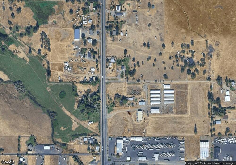
Map
- 5595 Table Rock Rd
- 5900 Peace Ln
- 225 Wilson Rd
- 2618 Rabun Way
- 532 Wilson Rd
- 6363 Harold Rd
- 380 W Gregory Rd Unit 1
- 380 W Gregory Rd Unit 20
- 380 W Gregory Rd Unit 1
- 4676 Industry Dr
- 2343 New Haven Dr
- 0 Evan Way
- 2244 Evan Way
- 594 W Gregory Rd
- 4702 Industry Dr
- 997 N Mountain Ave
- 1729 E Gregory Rd
- 2200 Lara Ln
- 1935 Walnut Grove Ln
- 1151 Helicopter Way
- 5734 Table Rock Rd
- 5746 Table Rock Rd
- 5600 Table Rock Rd
- 5606 Table Rock Rd
- 5610 Table Rock Rd
- 5596 Table Rock Rd
- 5596 Table Rock Rd Unit 106
- 5596 Table Rock Rd Unit 105
- 5592 Table Rock Rd
- 5558 Table Rock Rd
- 5708 Table Rock Rd
- 5790 Table Rock Rd
- 526 Judge Ln
- 400 Latigo Ln
- 5880 Table Rock Rd
- 5805 Peace Ln
- 5598 Table Rock Rd Unit 109
- 5598 Table Rock Rd Unit 101
- 5598 Table Rock Rd Unit 118
- 5598 Table Rock Rd Unit 110
Ask me questions while you tour the home.