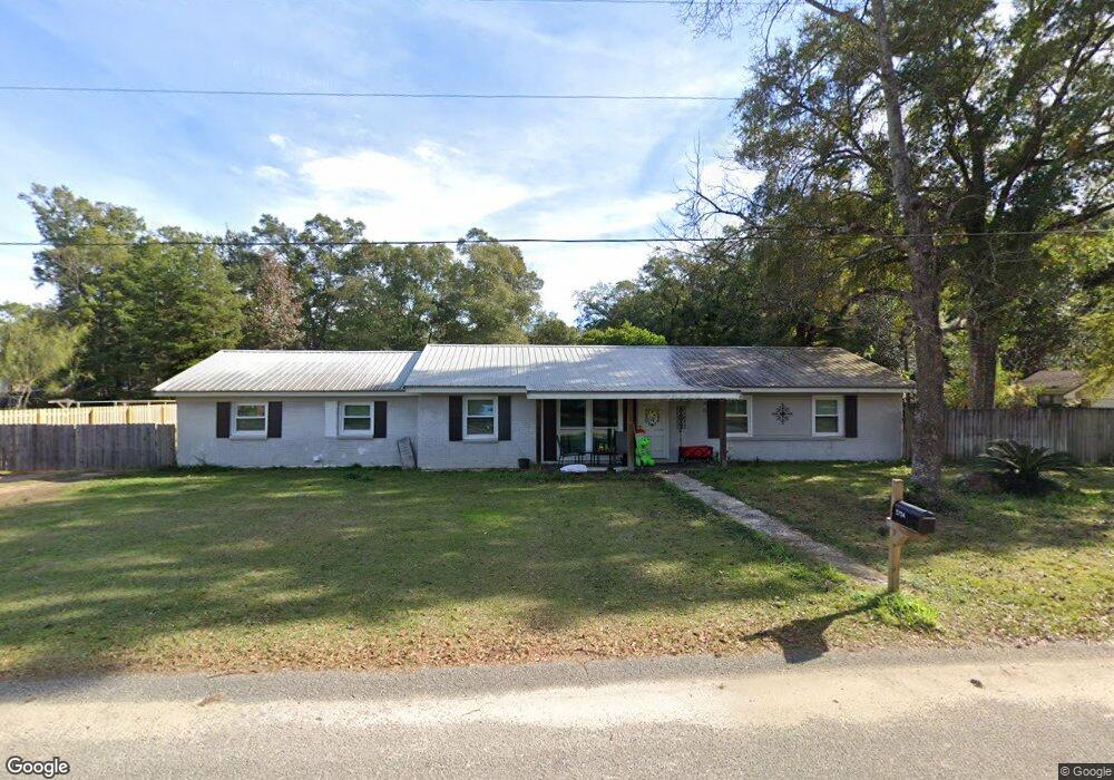
5754 Clark Cir E Satsuma, AL 36572
Estimated Value: $193,000 - $270,000
5
Beds
2
Baths
1,906
Sq Ft
$123/Sq Ft
Est. Value
About This Home
This home is located at 5754 Clark Cir E, Satsuma, AL 36572 and is currently estimated at $233,873, approximately $122 per square foot. 5754 Clark Cir E is a home located in Mobile County with nearby schools including Robert E. Lee Elementary School, Satsuma High School, and Satsuma Christian School.
Ownership History
Date
Name
Owned For
Owner Type
Purchase Details
Closed on
Dec 8, 2020
Sold by
White Michelle
Bought by
Bennett Michelle and White Michelle
Current Estimated Value
Purchase Details
Closed on
Jul 22, 2005
Sold by
Leonard Terry Martin
Bought by
White Michelle Anderson
Home Financials for this Owner
Home Financials are based on the most recent Mortgage that was taken out on this home.
Original Mortgage
$113,223
Outstanding Balance
$57,705
Interest Rate
5.59%
Mortgage Type
FHA
Estimated Equity
$176,168
Create a Home Valuation Report for This Property
The Home Valuation Report is an in-depth analysis detailing your home's value as well as a comparison with similar homes in the area
Home Values in the Area
Average Home Value in this Area
Purchase History
| Date | Buyer | Sale Price | Title Company |
|---|---|---|---|
| Bennett Michelle | -- | None Available | |
| White Michelle Anderson | $115,223 | -- |
Source: Public Records
Mortgage History
| Date | Status | Borrower | Loan Amount |
|---|---|---|---|
| Open | White Michelle Anderson | $113,223 |
Source: Public Records
Tax History Compared to Growth
Tax History
| Year | Tax Paid | Tax Assessment Tax Assessment Total Assessment is a certain percentage of the fair market value that is determined by local assessors to be the total taxable value of land and additions on the property. | Land | Improvement |
|---|---|---|---|---|
| 2025 | $767 | $13,660 | $2,400 | $11,260 |
| 2024 | $767 | $13,090 | $2,400 | $10,690 |
| 2023 | $732 | $11,250 | $1,700 | $9,550 |
| 2022 | $620 | $11,250 | $1,700 | $9,550 |
| 2021 | $650 | $11,740 | $1,700 | $10,040 |
| 2020 | $660 | $11,900 | $1,280 | $10,620 |
| 2019 | $655 | $11,840 | $0 | $0 |
| 2018 | $663 | $11,960 | $0 | $0 |
| 2017 | $685 | $12,320 | $0 | $0 |
| 2016 | $700 | $12,580 | $0 | $0 |
| 2013 | $632 | $11,360 | $0 | $0 |
Source: Public Records
Map
Nearby Homes
- 5771 Dale Dr
- 5850 Ryals St
- 311 Magnolia Ave Unit 44
- 211 Magnolia Ave
- 6158 Granada Ave
- 167 Bayou Ave E
- 213 Maple Ave E
- 0 Travelers Ct Unit 34 315632
- 0 Baldwin Rd Unit 7530277
- 0 Baldwin Rd
- 0 Baldwin Rd Unit 2 374664
- 5859 Northgate Dr W
- 150 Orange Ave E
- 104 Bayou Ave E
- 251 Tajuacha Dr S
- 6453 Gilbert Dr W
- 5303 U S 43
- 5509 Darring St
- 5503 Darring St
- 0 Willie Crook Ave
- 5756 Clark Cir E
- 5750 Clark Cir E
- 5751 Clark Cir E
- 5752 Clark Cir E
- 5756 Aaron Dr
- 5751 Vaughn Dr W
- 5758 Clark Cir E
- 410 Clark Cir S
- 450 Wesley V St
- 406 Clark Cir S
- 5750 Clark Cir W
- 5756 Clark Cir W
- 5755 Vaughn Dr W
- 5755 Vaughan Dr
- 364 Clark Cir S
- 5762 Clark Cir E
- 5752 Aaron Dr
- 5752 Aaron St
- 5759 Vaughn Dr W
- 5759 Vaughn Dr W