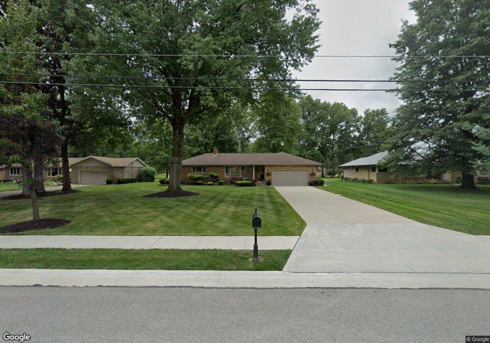
5754 Laurel Rd Independence, OH 44131
Estimated Value: $262,000 - $352,000
3
Beds
2
Baths
1,528
Sq Ft
$202/Sq Ft
Est. Value
About This Home
This home is located at 5754 Laurel Rd, Independence, OH 44131 and is currently estimated at $308,582, approximately $201 per square foot. 5754 Laurel Rd is a home located in Cuyahoga County with nearby schools including Independence Primary School, Independence Middle School, and Independence High School.
Ownership History
Date
Name
Owned For
Owner Type
Purchase Details
Closed on
Sep 20, 2017
Sold by
Johnson William J and Amato Jody A
Bought by
Malicki Leonard M and Malicki Laurie
Current Estimated Value
Home Financials for this Owner
Home Financials are based on the most recent Mortgage that was taken out on this home.
Original Mortgage
$117,000
Outstanding Balance
$27,179
Interest Rate
3.9%
Mortgage Type
Purchase Money Mortgage
Estimated Equity
$281,403
Purchase Details
Closed on
Oct 26, 2001
Sold by
Elizabeth Hodula and Demeter John
Bought by
Johnson William J and Amato Jody A
Home Financials for this Owner
Home Financials are based on the most recent Mortgage that was taken out on this home.
Original Mortgage
$144,400
Interest Rate
6.88%
Purchase Details
Closed on
May 13, 1977
Sold by
Hodula Paul and Hodula Elizabeth
Bought by
Hodula Elizabeth
Purchase Details
Closed on
Jan 1, 1975
Bought by
Hodula Paul and Hodula Elizabeth
Create a Home Valuation Report for This Property
The Home Valuation Report is an in-depth analysis detailing your home's value as well as a comparison with similar homes in the area
Home Values in the Area
Average Home Value in this Area
Purchase History
| Date | Buyer | Sale Price | Title Company |
|---|---|---|---|
| Malicki Leonard M | $275,000 | Competitive Title | |
| Johnson William J | $169,900 | Insignia Title Agency Ltd | |
| Hodula Elizabeth | -- | -- | |
| Hodula Paul | -- | -- |
Source: Public Records
Mortgage History
| Date | Status | Borrower | Loan Amount |
|---|---|---|---|
| Open | Malicki Leonard M | $117,000 | |
| Previous Owner | Johnson William J | $144,400 |
Source: Public Records
Tax History Compared to Growth
Tax History
| Year | Tax Paid | Tax Assessment Tax Assessment Total Assessment is a certain percentage of the fair market value that is determined by local assessors to be the total taxable value of land and additions on the property. | Land | Improvement |
|---|---|---|---|---|
| 2024 | $5,499 | $114,975 | $20,370 | $94,605 |
| 2023 | $4,204 | $79,870 | $19,320 | $60,550 |
| 2022 | $4,181 | $79,870 | $19,320 | $60,550 |
| 2021 | $4,120 | $79,870 | $19,320 | $60,550 |
| 2020 | $4,028 | $73,260 | $17,710 | $55,550 |
| 2019 | $3,888 | $209,300 | $50,600 | $158,700 |
| 2018 | $3,761 | $73,260 | $17,710 | $55,550 |
| 2017 | $3,674 | $66,120 | $14,600 | $51,520 |
| 2016 | $3,637 | $66,120 | $14,600 | $51,520 |
| 2015 | $3,634 | $66,120 | $14,600 | $51,520 |
| 2014 | $3,634 | $66,120 | $14,600 | $51,520 |
Source: Public Records
Map
Nearby Homes
- 0 Daisy Blvd
- 0 Acorn Dr Unit 5023848
- 5108 Great Oaks Pkwy
- 0 Brecksville Rd
- 6352 Crossview Rd
- 6606 Crossview Rd
- 6387 Bonroi Dr
- 6399 Tanglewood Ln
- 6473 Tanglewood Ln
- 6990 S Great Oaks Pkwy
- 5024 Dorset Dr
- 6258 Carlyle Dr
- VL Laura Lee Ln
- 1691 E Parkhaven Dr
- 874 E Meadowlawn Blvd
- VL TBB Laura Lee Ln
- 433 Chestnut Rd
- 5706 Heinton Rd
- 5981 Northview Dr
- 6475 Broadview Rd