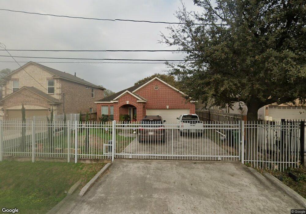
5754 Stuebner Airline Rd Houston, TX 77091
Northside-Northline NeighborhoodEstimated Value: $282,310 - $414,000
3
Beds
2
Baths
2,007
Sq Ft
$175/Sq Ft
Est. Value
About This Home
This home is located at 5754 Stuebner Airline Rd, Houston, TX 77091 and is currently estimated at $351,328, approximately $175 per square foot. 5754 Stuebner Airline Rd is a home located in Harris County with nearby schools including Highland Heights Elementary School, Williams Middle, and Booker T Washington Sr High.
Ownership History
Date
Name
Owned For
Owner Type
Purchase Details
Closed on
Dec 28, 2024
Sold by
Nino Emiliano and Nino Isabel
Bought by
Nino Emiliano and Nino Isabel
Current Estimated Value
Purchase Details
Closed on
Aug 19, 2010
Sold by
Hernandez Eva and Hernandez Jose
Bought by
Nino Emiliano and Nino Isabel
Home Financials for this Owner
Home Financials are based on the most recent Mortgage that was taken out on this home.
Original Mortgage
$20,000
Interest Rate
4.6%
Mortgage Type
Seller Take Back
Create a Home Valuation Report for This Property
The Home Valuation Report is an in-depth analysis detailing your home's value as well as a comparison with similar homes in the area
Home Values in the Area
Average Home Value in this Area
Purchase History
| Date | Buyer | Sale Price | Title Company |
|---|---|---|---|
| Nino Emiliano | -- | None Listed On Document | |
| Nino Emiliano | -- | Commonwealth Title Houston |
Source: Public Records
Mortgage History
| Date | Status | Borrower | Loan Amount |
|---|---|---|---|
| Previous Owner | Nino Emiliano | $20,000 |
Source: Public Records
Tax History Compared to Growth
Tax History
| Year | Tax Paid | Tax Assessment Tax Assessment Total Assessment is a certain percentage of the fair market value that is determined by local assessors to be the total taxable value of land and additions on the property. | Land | Improvement |
|---|---|---|---|---|
| 2025 | $3,135 | $204,571 | $29,028 | $175,543 |
| 2024 | $3,135 | $204,571 | $29,028 | $175,543 |
| 2023 | $3,135 | $204,571 | $29,028 | $175,543 |
| 2022 | $3,901 | $204,571 | $29,028 | $175,543 |
| 2021 | $3,754 | $197,880 | $29,028 | $168,852 |
| 2020 | $3,545 | $185,569 | $29,028 | $156,541 |
| 2019 | $3,368 | $185,569 | $29,028 | $156,541 |
| 2018 | $2,461 | $177,365 | $29,028 | $148,337 |
| 2017 | $2,781 | $177,365 | $29,028 | $148,337 |
| 2016 | $2,655 | $154,034 | $29,028 | $125,006 |
| 2015 | $2,314 | $157,237 | $30,842 | $126,395 |
| 2014 | $2,314 | $90,000 | $25,400 | $64,600 |
Source: Public Records
Map
Nearby Homes
- 615 Northew St Unit J
- 615 Northew St Unit K
- 522 Surratt Dr
- 406 Red Ripple Rd
- 422 Surratt Dr
- 6100 Stuebner Airline Rd
- 427 Yale Oaks Ln
- 434 Yale Oaks Ln
- 422 Yale Oaks Ln
- 410 Yale Oaks Ln
- 514 Marcella St
- 0 Maybell St
- 6057 Yale St
- 0 Paul Quinn Unit 61481225
- 0 Paul Quinn Unit 17838870
- 304 W Hamilton Lot B St
- 304 W St
- 304 W St E
- 327 Yale Oaks Ln
- 334 Yale Oaks Ln
- 5756 Stuebner Airline Rd
- 5752 Stuebner Airline Rd
- 5760 Stuebner Airline Rd
- 5762 Stuebner Airline Rd
- 5732 Stuebner Airline Rd
- 5814 Stuebner Airline Rd Unit A B
- 5814 Stuebner Airline Rd
- 5814 Stuebner Airline Rd
- 5810 Stuebner Airline Rd
- 5740 Stuebner Airline Rd
- 5818 Stuebner Airline Rd
- 615 Northew St
- 615 Northew St Unit H
- 615 Northew St Unit I
- 615 Northew St Unit G
- 615 Northew St Unit L
- 615 Northew St Unit E
- 615 Northew St Unit D
- 615 Northew St Unit ID1060796P
- 615 Northew St Unit ID1060798P