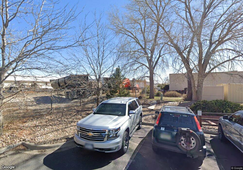
5755 Sheridan Blvd Arvada, CO 80002
Estimated Value: $772,163
--
Bed
1
Bath
1,157
Sq Ft
$667/Sq Ft
Est. Value
About This Home
This home is located at 5755 Sheridan Blvd, Arvada, CO 80002 and is currently estimated at $772,163, approximately $667 per square foot. 5755 Sheridan Blvd is a home located in Jefferson County with nearby schools including Swanson Elementary School, North Arvada Middle School, and Arvada High School.
Ownership History
Date
Name
Owned For
Owner Type
Purchase Details
Closed on
Jan 13, 2021
Sold by
Business Park Associates Llc
Bought by
Solheim John S and Solheim Jeannie L
Current Estimated Value
Purchase Details
Closed on
Dec 15, 2016
Sold by
Starr Deette and Estate Of John A Pachello
Bought by
Business Park Associates Llc
Home Financials for this Owner
Home Financials are based on the most recent Mortgage that was taken out on this home.
Original Mortgage
$502,000
Interest Rate
6%
Mortgage Type
Purchase Money Mortgage
Create a Home Valuation Report for This Property
The Home Valuation Report is an in-depth analysis detailing your home's value as well as a comparison with similar homes in the area
Home Values in the Area
Average Home Value in this Area
Purchase History
| Date | Buyer | Sale Price | Title Company |
|---|---|---|---|
| Solheim John S | $600,000 | Heritage Title Company | |
| Business Park Associates Llc | -- | Heritage Title Co | |
| Business Park Associates Llc | $522,000 | Heritage Title Co |
Source: Public Records
Mortgage History
| Date | Status | Borrower | Loan Amount |
|---|---|---|---|
| Previous Owner | Business Park Associates Llc | $502,000 |
Source: Public Records
Tax History Compared to Growth
Tax History
| Year | Tax Paid | Tax Assessment Tax Assessment Total Assessment is a certain percentage of the fair market value that is determined by local assessors to be the total taxable value of land and additions on the property. | Land | Improvement |
|---|---|---|---|---|
| 2024 | $15,455 | $162,297 | $155,415 | $6,882 |
| 2023 | $15,455 | $162,297 | $155,415 | $6,882 |
| 2022 | $13,946 | $144,771 | $137,311 | $7,460 |
| 2021 | $13,741 | $144,771 | $137,311 | $7,460 |
| 2020 | $13,704 | $144,489 | $137,311 | $7,178 |
| 2019 | $13,501 | $144,489 | $137,311 | $7,178 |
| 2018 | $1,367 | $14,180 | $726 | $13,454 |
| 2017 | $1,248 | $14,180 | $726 | $13,454 |
| 2016 | $590 | $11,736 | $839 | $10,897 |
| 2015 | $298 | $11,736 | $839 | $10,897 |
| 2014 | $510 | $9,722 | $465 | $9,257 |
Source: Public Records
Map
Nearby Homes
- 5375 W 60th Ave Unit 2
- 5375 W 60th Ave
- 5495 W 60th Ave
- 5400 Sheridan Blvd Unit 223
- 5400 Sheridan Blvd Unit 167
- 5400 Sheridan Blvd Unit 237
- 5400 Sheridan Blvd Unit 135
- 4964 W 61st Dr
- 6080 Fenton St
- 6131 Wolff St
- 6185 Sheridan Blvd
- 5320 W 62nd Ave
- 6189 Zenobia Ct
- 5250 W 53rd Ave Unit 125
- 5250 W 53rd Ave Unit 116
- 6102 Uno St
- 5900 W 62nd Ave
- 5316 Stuart St
- 6320 Chase St
- 6365 Xavier Ct
- 5685 Sheridan Blvd
- 5785 Sheridan Blvd
- 5405 W 56th Ave
- 5783 Sheridan Frontage Rd
- 5505 W 56th Ave
- 5076 W 58th Ave
- 5981 Marion Dr
- 5868 Zenobia St Unit 7
- 5355 W 59th Ave
- 5550 W 56th Ave
- 5048 W 60th Ave
- 5030 W 60th Ave
- 4980 W 60th Ave
- 5275 W 60th Ave
- 4960 W 60th Ave
- 5500 W 60th Ave
- 5660 W 60th Ave
- 4940 W 60th Ave
- 4920 W 60th Ave
- 6005 Benton St