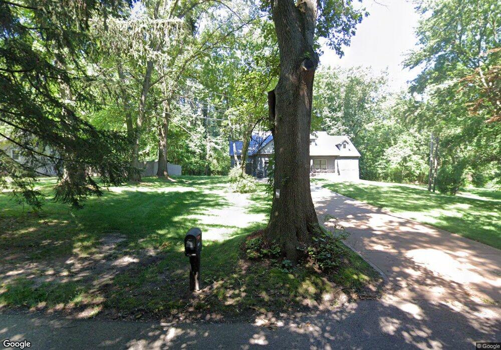
5756 N 125 W La Porte, IN 46350
Estimated Value: $259,000 - $476,000
3
Beds
1
Bath
1,554
Sq Ft
$213/Sq Ft
Est. Value
About This Home
This home is located at 5756 N 125 W, La Porte, IN 46350 and is currently estimated at $331,232, approximately $213 per square foot. 5756 N 125 W is a home located in LaPorte County with nearby schools including Springfield Elementary School, Martin T. Krueger Middle School, and Michigan City High School.
Ownership History
Date
Name
Owned For
Owner Type
Purchase Details
Closed on
Apr 18, 2025
Sold by
Lyle A And Georgetta L Brinckmann Trust and Brinckman Thad A
Bought by
Brinckman Thad A and Brinckman Dustin
Current Estimated Value
Purchase Details
Closed on
Jun 29, 2016
Sold by
Brinckman Lyle A
Bought by
Brinckman Allison
Purchase Details
Closed on
Mar 21, 2008
Sold by
Brinckman Lyle and Brinckman Georgetta
Bought by
Brinckman Lyle A and Brinckman Georgetta L
Purchase Details
Closed on
Dec 13, 2007
Sold by
Brinckman Lyle and Brinckman Georgetta
Bought by
Demunck Nicole Lynn and Demunck Adam John
Create a Home Valuation Report for This Property
The Home Valuation Report is an in-depth analysis detailing your home's value as well as a comparison with similar homes in the area
Home Values in the Area
Average Home Value in this Area
Purchase History
| Date | Buyer | Sale Price | Title Company |
|---|---|---|---|
| Brinckman Thad A | -- | None Listed On Document | |
| Brinckman Allison | $84,000 | -- | |
| Brinckman Lyle A | -- | None Available | |
| Demunck Nicole Lynn | -- | None Available |
Source: Public Records
Tax History Compared to Growth
Tax History
| Year | Tax Paid | Tax Assessment Tax Assessment Total Assessment is a certain percentage of the fair market value that is determined by local assessors to be the total taxable value of land and additions on the property. | Land | Improvement |
|---|---|---|---|---|
| 2024 | $1,348 | $142,500 | $61,100 | $81,400 |
| 2022 | $1,397 | $143,200 | $61,100 | $82,100 |
| 2021 | $1,344 | $137,200 | $61,100 | $76,100 |
| 2020 | $1,374 | $137,200 | $61,100 | $76,100 |
| 2019 | $1,284 | $130,500 | $50,900 | $79,600 |
| 2018 | $1,200 | $124,000 | $50,900 | $73,100 |
| 2017 | $1,182 | $119,000 | $50,900 | $68,100 |
| 2016 | $956 | $110,300 | $36,800 | $73,500 |
| 2014 | $612 | $101,800 | $36,800 | $65,000 |
Source: Public Records
Map
Nearby Homes
- 1232 W 650 N
- 4711 N 100 W
- 0 Route 20 Unit 155390
- N Sr 39
- 5405 N Campbell
- Lots 41-44 Campbell
- 4755 N Range Rd
- 344 E 650 N
- 5223 N Barclay
- 000 N US Highway 35 Rd
- 00 W Valley Blvd
- 0 N Rue du Lac Ct
- 00 N Rue du Lac Ct
- 7335 N 300 W
- 4951 N Meadow Ct
- 3471 N Karen Kourt
- 6862 NE Suburban Dr
- 0 N Hwy 39 N Unit NRA813838
- 3226 N Briar Leaf Ct
- 5034 N 400 W