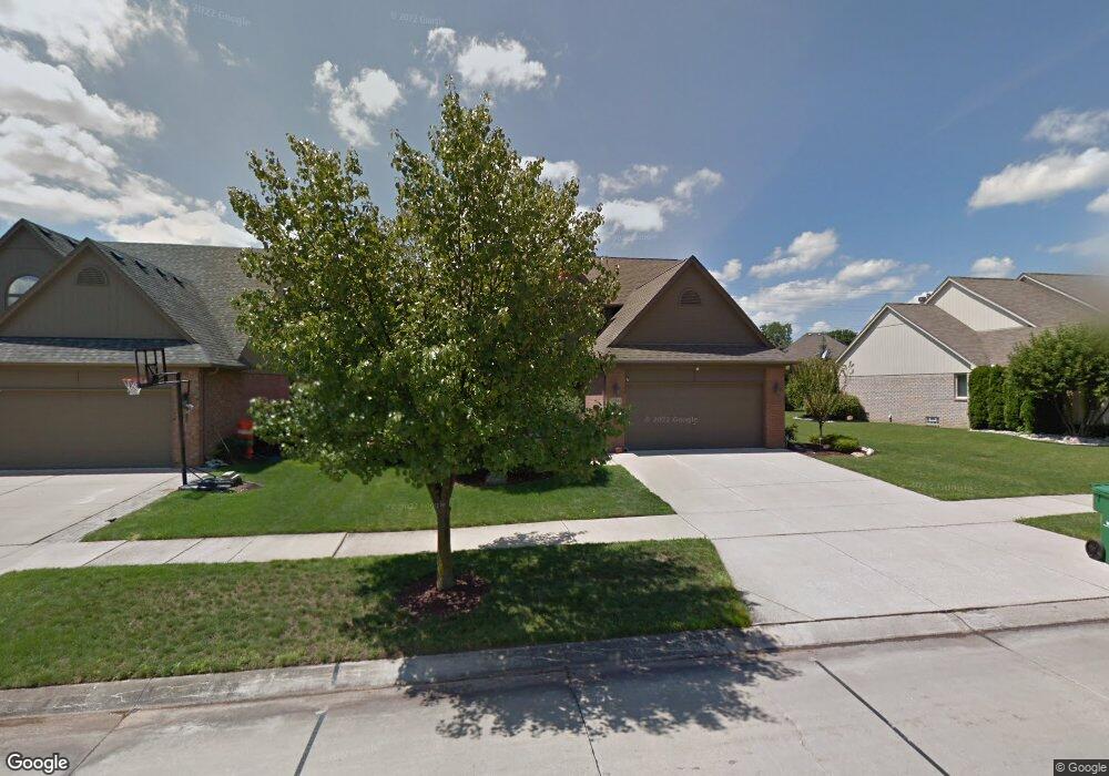
57561 Suffield Dr Washington, MI 48094
Estimated Value: $437,710 - $642,000
4
Beds
4
Baths
2,200
Sq Ft
$228/Sq Ft
Est. Value
About This Home
This home is located at 57561 Suffield Dr, Washington, MI 48094 and is currently estimated at $500,928, approximately $227 per square foot. 57561 Suffield Dr is a home located in Macomb County with nearby schools including Peace Lutheran School.
Ownership History
Date
Name
Owned For
Owner Type
Purchase Details
Closed on
Nov 10, 2021
Sold by
Sudderth Greg
Bought by
Sudderth Deborah
Current Estimated Value
Home Financials for this Owner
Home Financials are based on the most recent Mortgage that was taken out on this home.
Original Mortgage
$220,000
Outstanding Balance
$200,191
Interest Rate
3.09%
Mortgage Type
New Conventional
Estimated Equity
$300,738
Purchase Details
Closed on
Oct 29, 2010
Sold by
Parker Robert L and Parker Joan B
Bought by
Sudderth Deborah and Sudderth Greg
Purchase Details
Closed on
Dec 20, 1999
Sold by
Breckenridgesubdivision
Bought by
Robert L Parker
Create a Home Valuation Report for This Property
The Home Valuation Report is an in-depth analysis detailing your home's value as well as a comparison with similar homes in the area
Home Values in the Area
Average Home Value in this Area
Purchase History
| Date | Buyer | Sale Price | Title Company |
|---|---|---|---|
| Sudderth Deborah | -- | First American Title | |
| Sudderth Deborah | $228,500 | First American Title Ins Co | |
| Robert L Parker | $50,000 | -- |
Source: Public Records
Mortgage History
| Date | Status | Borrower | Loan Amount |
|---|---|---|---|
| Open | Sudderth Deborah | $220,000 |
Source: Public Records
Tax History
| Year | Tax Paid | Tax Assessment Tax Assessment Total Assessment is a certain percentage of the fair market value that is determined by local assessors to be the total taxable value of land and additions on the property. | Land | Improvement |
|---|---|---|---|---|
| 2025 | $3,076 | $209,400 | $0 | $0 |
| 2024 | $29 | $216,700 | $0 | $0 |
| 2023 | $2,832 | $181,700 | $0 | $0 |
| 2022 | $3,935 | $165,300 | $0 | $0 |
| 2021 | $4,234 | $159,300 | $0 | $0 |
| 2020 | $2,622 | $153,600 | $0 | $0 |
| 2019 | $3,759 | $147,200 | $0 | $0 |
| 2018 | $3,344 | $140,300 | $0 | $0 |
| 2017 | $3,338 | $133,700 | $23,400 | $110,300 |
| 2016 | $3,344 | $133,700 | $0 | $0 |
| 2015 | -- | $128,400 | $0 | $0 |
| 2013 | $3,076 | $118,800 | $19,800 | $99,000 |
| 2012 | $3,076 | $105,500 | $0 | $0 |
Source: Public Records
Map
Nearby Homes
- 57289 Yorkshire Dr
- 7380 Emerson
- 6566 Berkshire Dr
- 7427 Emerson
- 7340 Smale St
- 6037 Trailside Dr Unit 3
- 7736 Washburn
- 56711 Scotland Blvd
- 58019 Van Dyke Rd
- 58106 Delmar
- 58843 Gallery Ct Unit 28
- 56567 Scotland Blvd Unit 119
- 5500 Crystal Creek Ln
- 7600 Village Dr
- 0 Cathey Unit Lot 4
- 0 Cathey Unit Lot 5
- 00 Wicker
- 000 Wicker
- 6703 Chianti Ct
- 56075 Chesapeake Cir Unit 242
- 57555 Suffield Dr
- 57579 Suffield Dr
- 57537 Suffield Dr
- 57597 Suffield Dr
- 57519 Suffield Dr
- 57558 Suffield Dr
- 57582 Yorkshire Dr
- 57564 Yorkshire Dr
- 57572 Suffield Dr
- 57615 Suffield Dr
- 57600 Yorkshire Dr
- 57546 Yorkshire Dr
- 57540 Suffield Dr
- 57594 Suffield Dr
- 57501 Suffield Dr
- 57528 Yorkshire Dr
- 57522 Suffield Dr
- 57633 Yorkshire Dr
- 57612 Suffield Dr
- 6653 Breckenridge Dr
Your Personal Tour Guide
Ask me questions while you tour the home.