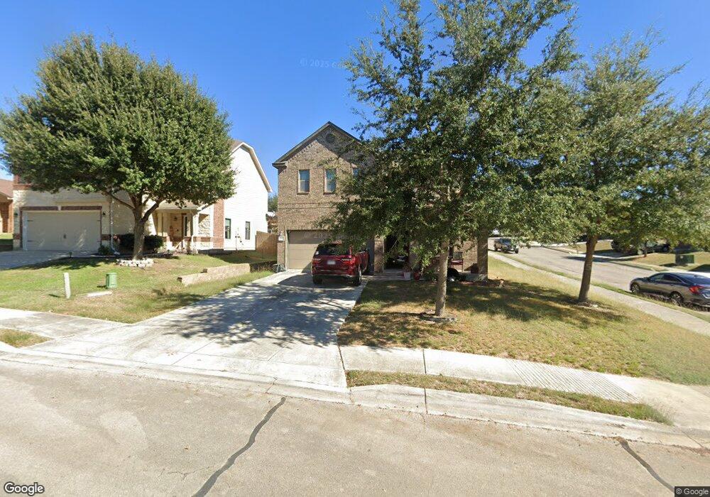
5757 Ping Way Schertz, TX 78108
Northcliffe NeighborhoodEstimated Value: $307,000 - $326,000
--
Bed
--
Bath
2,403
Sq Ft
$131/Sq Ft
Est. Value
About This Home
This home is located at 5757 Ping Way, Schertz, TX 78108 and is currently estimated at $314,913, approximately $131 per square foot. 5757 Ping Way is a home with nearby schools including John A. Sippel Elementary School, Elaine S Schlather Intermediate School, and Dobie J High School.
Ownership History
Date
Name
Owned For
Owner Type
Purchase Details
Closed on
Feb 29, 2012
Sold by
Kb Home Lone Star Inc
Bought by
Strehle Abbey and Strehle Nathaniel
Current Estimated Value
Home Financials for this Owner
Home Financials are based on the most recent Mortgage that was taken out on this home.
Original Mortgage
$156,557
Outstanding Balance
$109,473
Interest Rate
4.25%
Mortgage Type
FHA
Estimated Equity
$205,440
Create a Home Valuation Report for This Property
The Home Valuation Report is an in-depth analysis detailing your home's value as well as a comparison with similar homes in the area
Home Values in the Area
Average Home Value in this Area
Purchase History
| Date | Buyer | Sale Price | Title Company |
|---|---|---|---|
| Strehle Abbey | -- | Alamo Title |
Source: Public Records
Mortgage History
| Date | Status | Borrower | Loan Amount |
|---|---|---|---|
| Open | Strehle Abbey | $156,557 |
Source: Public Records
Tax History Compared to Growth
Tax History
| Year | Tax Paid | Tax Assessment Tax Assessment Total Assessment is a certain percentage of the fair market value that is determined by local assessors to be the total taxable value of land and additions on the property. | Land | Improvement |
|---|---|---|---|---|
| 2025 | $5,548 | $299,286 | $41,950 | $257,336 |
| 2024 | $5,548 | $344,818 | $42,442 | $318,028 |
| 2023 | $6,111 | $313,471 | $46,985 | $306,350 |
| 2022 | $6,165 | $284,974 | $43,733 | $306,300 |
| 2021 | $5,980 | $259,067 | $26,618 | $232,449 |
| 2020 | $5,584 | $241,073 | $24,255 | $216,818 |
| 2019 | $5,604 | $234,827 | $24,570 | $210,257 |
| 2018 | $5,263 | $222,921 | $24,570 | $198,351 |
| 2017 | $4,467 | $211,216 | $20,877 | $190,339 |
| 2016 | $4,856 | $206,961 | $20,877 | $186,084 |
| 2015 | $4,467 | $194,585 | $20,877 | $173,708 |
| 2014 | $4,228 | $187,805 | $15,750 | $172,055 |
Source: Public Records
Map
Nearby Homes
- 5752 Ping Way
- 6211 Fred Couples
- 5709 Ping Way
- 5700 Ty Lindstrom
- 5705 Maxfli Dr
- 4231 Hansford Way
- 6017 Scenic Links
- 4116 Whisper Point
- 3529 Cliffside Dr
- 3804 Pheasant
- 2311 Carson Cove
- 3949 Whisper Point
- 4128 Wensledale Dr
- 4116 Wensledale Dr
- 2308 Carson Cove
- 4503 Yoakum Valley
- 2312 Carson Cove
- 4502 Yoakum Valley
- 4507 Yoakum Valley
- 4511 Yoakum Valley
- 5753 Ping Way
- 5749 Ping Way
- 5749 Ping Way
- 5756 Ty Lindstrom
- 5752 Ty Lindstrom
- 6124 Fred Couples
- 6128 Fred Couples
- 6120 Fred Couples
- 5756 Ping Way
- 5745 Ping Way
- 6116 Fred Couples
- 5748 Ty Lindstrom
- 6132 Fred Couples
- 5748 Ping Way
- 5744 Ty Lindstrom
- 6112 Fred Couples
- 5741 Ping Way
- 6136 Fred Couples
- 5744 Ping Way
- 5740 Ty Lindstrom