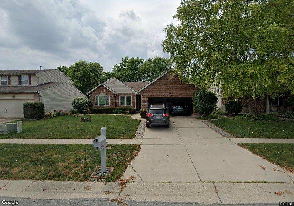
5757 Stone Trace Dr Mason, OH 45040
Deerfield Township NeighborhoodEstimated Value: $490,000 - $524,602
3
Beds
2
Baths
3,223
Sq Ft
$155/Sq Ft
Est. Value
About This Home
This home is located at 5757 Stone Trace Dr, Mason, OH 45040 and is currently estimated at $499,901, approximately $155 per square foot. 5757 Stone Trace Dr is a home located in Warren County with nearby schools including Mason Intermediate Elementary School, Mason Middle School, and William Mason High School.
Ownership History
Date
Name
Owned For
Owner Type
Purchase Details
Closed on
Sep 11, 2018
Sold by
Northcut Timothy J and Northcut Jennifer D
Bought by
Northcut Timothy J and Northcut Jennifer D
Current Estimated Value
Purchase Details
Closed on
Feb 26, 1999
Sold by
Dixon Builders & Dev Inc
Bought by
Northcut Timothy J and Northcut Jennifer D
Home Financials for this Owner
Home Financials are based on the most recent Mortgage that was taken out on this home.
Original Mortgage
$154,275
Outstanding Balance
$37,880
Interest Rate
6.92%
Mortgage Type
VA
Estimated Equity
$462,021
Create a Home Valuation Report for This Property
The Home Valuation Report is an in-depth analysis detailing your home's value as well as a comparison with similar homes in the area
Home Values in the Area
Average Home Value in this Area
Purchase History
| Date | Buyer | Sale Price | Title Company |
|---|---|---|---|
| Northcut Timothy J | -- | None Available | |
| Northcut Timothy J | $151,250 | -- |
Source: Public Records
Mortgage History
| Date | Status | Borrower | Loan Amount |
|---|---|---|---|
| Open | Northcut Timothy J | $154,275 |
Source: Public Records
Tax History Compared to Growth
Tax History
| Year | Tax Paid | Tax Assessment Tax Assessment Total Assessment is a certain percentage of the fair market value that is determined by local assessors to be the total taxable value of land and additions on the property. | Land | Improvement |
|---|---|---|---|---|
| 2024 | $6,235 | $145,590 | $35,000 | $110,590 |
| 2023 | $5,992 | $115,384 | $19,057 | $96,327 |
| 2022 | $5,887 | $115,385 | $19,058 | $96,327 |
| 2021 | $5,599 | $115,385 | $19,058 | $96,327 |
| 2020 | $5,450 | $95,358 | $15,750 | $79,608 |
| 2019 | $5,050 | $95,358 | $15,750 | $79,608 |
| 2018 | $5,036 | $95,358 | $15,750 | $79,608 |
| 2017 | $4,846 | $84,049 | $15,967 | $68,082 |
| 2016 | $4,981 | $84,049 | $15,967 | $68,082 |
| 2015 | $4,628 | $84,049 | $15,967 | $68,082 |
| 2014 | $4,628 | $72,460 | $13,770 | $58,690 |
| 2013 | $4,638 | $82,900 | $15,750 | $67,150 |
Source: Public Records
Map
Nearby Homes
- 8421 Cameron Ct
- 5754 Trailside Ct
- 5661 Baywatch Way
- 8659 Coveview Ct
- 5626 Baywatch Way
- 5369 N Shore Place
- 5532 Winding Cape Way
- 5398 Harbourwatch Way
- 7725 Livingston Dr
- 7693 Misty Springs Ct
- 7911 Meadowbrook Dr
- 7839 Meadowbrook Dr
- 7660 Waterfront Way
- 7648 Waterfront Way
- 7692 Waterfront Way
- 7600 Waterfront Way
- 9147 Elizabeth Ln Unit 9147
- 8900 Suncrest Ln
- 8851 Suncrest Ln
- 8905 Suncrest Ln
- 5767 Stone Trace Dr
- 5749 Stone Trace Dr
- 5775 Stone Trace Dr
- 5741 Stone Trace Dr
- 5758 Stone Trace Dr
- 5766 Stone Trace Dr
- 5781 Stone Trace Dr
- 5731 Stone Trace Dr
- 5748 Stone Trace Dr
- 8385 Lee Ct
- 5738 Stone Trace Dr
- 5723 Stone Trace Dr
- 5789 Stone Trace Dr
- 8350 Snider Rd
- 5730 Stone Trace Dr
- 8374 Lee Ct
- 8411 Cameron Ct
- 5720 Stone Trace Dr
- 5715 Stone Trace Dr
- 5811 Stone Trace Dr