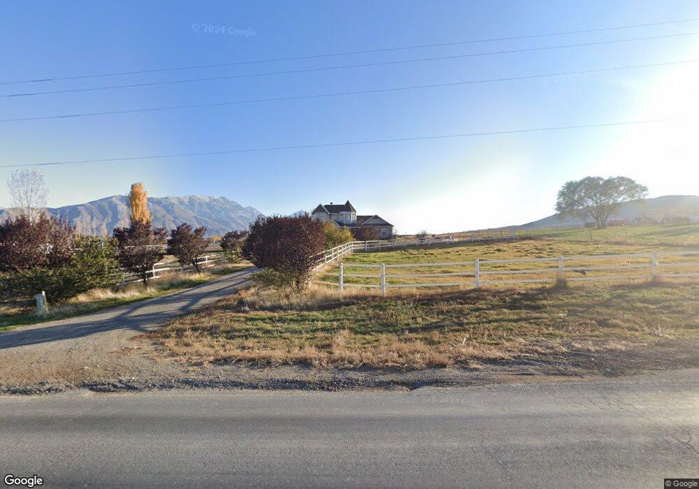
5759 W 10400 S Payson, UT 84651
Estimated Value: $821,000 - $1,310,326
4
Beds
4
Baths
3,522
Sq Ft
$313/Sq Ft
Est. Value
About This Home
This home is located at 5759 W 10400 S, Payson, UT 84651 and is currently estimated at $1,104,082, approximately $313 per square foot. 5759 W 10400 S is a home located in Utah County with nearby schools including Taylor Elementary School, Mt. Nebo Junior High School, and Salem Junior High School.
Ownership History
Date
Name
Owned For
Owner Type
Purchase Details
Closed on
Sep 30, 2016
Sold by
Carson Michael D and Carson Kimberly Larsen
Bought by
Gruwell Kris R and Gruwell Kathy O
Current Estimated Value
Home Financials for this Owner
Home Financials are based on the most recent Mortgage that was taken out on this home.
Original Mortgage
$250,000
Outstanding Balance
$200,231
Interest Rate
3.43%
Mortgage Type
New Conventional
Estimated Equity
$903,851
Purchase Details
Closed on
Oct 21, 2011
Sold by
Carson Michael
Bought by
Carson Michael D and Carson Kimberly Larsen
Home Financials for this Owner
Home Financials are based on the most recent Mortgage that was taken out on this home.
Original Mortgage
$173,000
Interest Rate
4.01%
Mortgage Type
New Conventional
Create a Home Valuation Report for This Property
The Home Valuation Report is an in-depth analysis detailing your home's value as well as a comparison with similar homes in the area
Home Values in the Area
Average Home Value in this Area
Purchase History
| Date | Buyer | Sale Price | Title Company |
|---|---|---|---|
| Gruwell Kris R | -- | Inwest Title | |
| Carson Michael D | -- | Accommodation | |
| Carson Michael | -- | Premier Title Insurance Agen |
Source: Public Records
Mortgage History
| Date | Status | Borrower | Loan Amount |
|---|---|---|---|
| Open | Gruwell Kris R | $250,000 | |
| Previous Owner | Carson Michael | $173,000 |
Source: Public Records
Tax History Compared to Growth
Tax History
| Year | Tax Paid | Tax Assessment Tax Assessment Total Assessment is a certain percentage of the fair market value that is determined by local assessors to be the total taxable value of land and additions on the property. | Land | Improvement |
|---|---|---|---|---|
| 2025 | $3,444 | $365,110 | $458,200 | $547,300 |
| 2024 | $3,444 | $344,290 | $0 | $0 |
| 2023 | $3,532 | $353,389 | $0 | $0 |
| 2022 | $3,034 | $891,300 | $465,300 | $426,000 |
| 2021 | $2,635 | $649,600 | $329,300 | $320,300 |
| 2020 | $2,364 | $601,800 | $281,500 | $320,300 |
| 2019 | $2,126 | $523,600 | $232,400 | $291,200 |
| 2018 | $2,006 | $471,700 | $212,400 | $259,300 |
| 2017 | $2,064 | $160,505 | $0 | $0 |
| 2016 | $2,082 | $156,935 | $0 | $0 |
| 2015 | $1,994 | $149,055 | $0 | $0 |
| 2014 | $1,994 | $149,140 | $0 | $0 |
Source: Public Records
Map
Nearby Homes
- 10336 S 6000 W
- 5132 W 10400 S
- 10900 S 5200 W
- 5746 W 11300 S
- 5635 W 11300 S
- 11363 S 5600 West St
- 11433 S 5600 West St
- 11433 S 5600 W
- 11508 S 5825 W
- 841 N Dryland Cir Unit BALLAR
- 841 N Dryland Cir Unit DREXEL
- 841 N Dryland Cir Unit HILDAL
- 841 N Dryland Cir Unit WINDSR
- 841 N Dryland Cir Unit WAKEFI
- 841 N Dryland Cir Unit LUCAS
- 841 N Dryland Cir Unit AUBREY
- 841 N Dryland Cir Unit COLUMB
- 841 N Dryland Cir Unit HARMON
- 841 N Dryland Cir Unit CALDWL
- 2007 W 1150 S Unit 1041
- 5675 W 10400 S
- 5770 W 10400 S
- 5857 W 10400 S
- 10365 S 5850 W
- 5708 W 10400 S
- 10498 S 5600 W
- 5879 W 10400 S
- 5879 W 10400 S
- 5748 W 10400 S
- 5672 W 10400 S
- 10038 S 5750 St W Unit 5
- 10400 S 5750 St W
- 10462 S 5600 W
- 10450 S 5600 W
- 10552 S 5600 W
- 5000 W 10400 S
- 5850 W 10400 S Unit 1
- 5929 W 10400 S
- 5892 W 10400 S
- 10324 S 5850 W