576 Boundary Rd Hudson, WI 54016
Kinnickinnic NeighborhoodEstimated Value: $641,000 - $950,000
Studio
--
Bath
--
Sq Ft
611,147
Sq Ft Lot
About This Home
This home is located at 576 Boundary Rd, Hudson, WI 54016 and is currently estimated at $792,876. 576 Boundary Rd is a home located in St. Croix County with nearby schools including River Crest Elementary School, Hudson Middle School, and Hudson High School.
Ownership History
Date
Name
Owned For
Owner Type
Purchase Details
Closed on
Aug 18, 2009
Sold by
Johnson Brent E and Hall Johnson Sonja M
Bought by
Turnquist Tanner N and Turnquist Patricia K
Current Estimated Value
Home Financials for this Owner
Home Financials are based on the most recent Mortgage that was taken out on this home.
Original Mortgage
$161,250
Outstanding Balance
$103,400
Interest Rate
5.29%
Mortgage Type
Purchase Money Mortgage
Estimated Equity
$689,476
Create a Home Valuation Report for This Property
The Home Valuation Report is an in-depth analysis detailing your home's value as well as a comparison with similar homes in the area
Home Values in the Area
Average Home Value in this Area
Purchase History
| Date | Buyer | Sale Price | Title Company |
|---|---|---|---|
| Turnquist Tanner N | $215,000 | River Valley Abstract & Titl |
Source: Public Records
Mortgage History
| Date | Status | Borrower | Loan Amount |
|---|---|---|---|
| Open | Turnquist Tanner N | $161,250 |
Source: Public Records
Tax History
| Year | Tax Paid | Tax Assessment Tax Assessment Total Assessment is a certain percentage of the fair market value that is determined by local assessors to be the total taxable value of land and additions on the property. | Land | Improvement |
|---|---|---|---|---|
| 2025 | $8,310 | $695,300 | $113,800 | $581,500 |
| 2024 | $77 | $695,300 | $113,800 | $581,500 |
| 2023 | $7,678 | $695,300 | $113,800 | $581,500 |
| 2022 | $5,952 | $695,300 | $113,800 | $581,500 |
| 2021 | $5,706 | $376,100 | $88,900 | $287,200 |
| 2020 | $5,800 | $372,200 | $88,900 | $283,300 |
| 2019 | $5,591 | $372,200 | $88,900 | $283,300 |
| 2018 | $5,382 | $372,200 | $88,900 | $283,300 |
| 2017 | $5,125 | $372,200 | $88,900 | $283,300 |
| 2016 | $5,125 | $372,200 | $88,900 | $283,300 |
| 2015 | $4,685 | $372,200 | $88,900 | $283,300 |
| 2014 | $4,626 | $372,200 | $88,900 | $283,300 |
| 2013 | $1,430 | $114,900 | $88,900 | $26,000 |
Source: Public Records
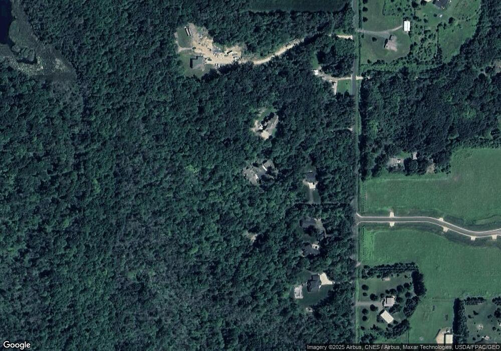
Map
Nearby Homes
- 906 Acorn Ct
- 909 Acorn Ct
- 534 County Road Ss
- XXXX 100th Street St
- TBD Lot 10 65th Ave
- 643 100th (Lot 4) St
- 488 (Lot 16) Summit Ridge
- 745 Mount Curve Ct
- 491 (Lot 10) Prominence Way
- 467 (Lot 2) Prominence Way
- 469 (Lot 1) Prominence Way
- 725 Crest Curve
- 722 (Lot 40) Crest Curve
- 725 (Lot 53) Crest Curve
- 728 Mojo Trail
- 397 Candy Ln
- 696 Buttercup Ct
- Lot 10 Candy Lane Ln
- Lot 8 Candy Lane Ln
- 392 Candy Ln
- 573 90th St
- 578 Boundary Rd
- 572 Boundary Rd
- 592 Boundary Rd
- 913 Acorn Court Lot 5
- 594 Boundary Rd
- 595 90th St
- 574 Boundary Rd
- 568 Boundary Rd Unit 3 Road
- 568 Boundary Rd
- 568 Boundary Rd
- 561 90th St
- 568 Boundary Rd
- 597 90th St
- 880 Tower Rd
- 555 90th St
- Lot 2 Tower Rd
- 599B 90th St
- 548 Boundary Rd
- 599 90th St
Your Personal Tour Guide
Ask me questions while you tour the home.