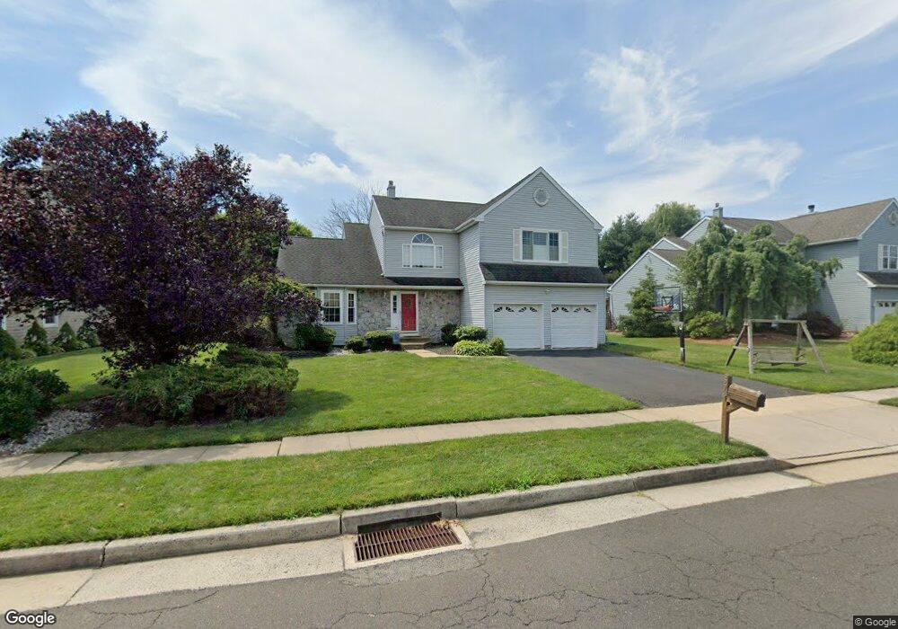
576 Grant St Newtown, PA 18940
Estimated Value: $770,411 - $893,000
4
Beds
3
Baths
2,498
Sq Ft
$332/Sq Ft
Est. Value
About This Home
This home is located at 576 Grant St, Newtown, PA 18940 and is currently estimated at $830,103, approximately $332 per square foot. 576 Grant St is a home located in Bucks County with nearby schools including Goodnoe Elementary School, Newtown Middle School, and Council Rock High School North.
Ownership History
Date
Name
Owned For
Owner Type
Purchase Details
Closed on
Aug 4, 2005
Sold by
Blachowski Dean and Blachowski Sharon
Bought by
Lipsky Howard and Roe Dana
Current Estimated Value
Home Financials for this Owner
Home Financials are based on the most recent Mortgage that was taken out on this home.
Original Mortgage
$50,600
Outstanding Balance
$26,542
Interest Rate
5.54%
Mortgage Type
Credit Line Revolving
Estimated Equity
$803,561
Purchase Details
Closed on
Aug 7, 1996
Sold by
Burton Scott A and Burton Linda C
Bought by
Blachowski Dean and Blachowski Sharon
Home Financials for this Owner
Home Financials are based on the most recent Mortgage that was taken out on this home.
Original Mortgage
$209,700
Interest Rate
6.25%
Create a Home Valuation Report for This Property
The Home Valuation Report is an in-depth analysis detailing your home's value as well as a comparison with similar homes in the area
Home Values in the Area
Average Home Value in this Area
Purchase History
| Date | Buyer | Sale Price | Title Company |
|---|---|---|---|
| Lipsky Howard | $506,000 | First American Title Ins Co | |
| Blachowski Dean | $233,000 | -- |
Source: Public Records
Mortgage History
| Date | Status | Borrower | Loan Amount |
|---|---|---|---|
| Open | Lipsky Howard | $50,600 | |
| Open | Lipsky Howard | $404,800 | |
| Previous Owner | Blachowski Dean | $209,700 |
Source: Public Records
Tax History Compared to Growth
Tax History
| Year | Tax Paid | Tax Assessment Tax Assessment Total Assessment is a certain percentage of the fair market value that is determined by local assessors to be the total taxable value of land and additions on the property. | Land | Improvement |
|---|---|---|---|---|
| 2025 | $7,571 | $42,600 | $7,960 | $34,640 |
| 2024 | $7,571 | $42,600 | $7,960 | $34,640 |
| 2023 | $7,243 | $42,600 | $7,960 | $34,640 |
| 2022 | $7,103 | $42,600 | $7,960 | $34,640 |
| 2021 | $6,993 | $42,600 | $7,960 | $34,640 |
| 2020 | $6,656 | $42,600 | $7,960 | $34,640 |
| 2019 | $6,499 | $42,600 | $7,960 | $34,640 |
| 2018 | $6,376 | $42,600 | $7,960 | $34,640 |
| 2017 | $6,154 | $42,600 | $7,960 | $34,640 |
| 2016 | $6,112 | $42,600 | $7,960 | $34,640 |
| 2015 | -- | $42,600 | $7,960 | $34,640 |
| 2014 | -- | $42,600 | $7,960 | $34,640 |
Source: Public Records
Map
Nearby Homes
- 54 Kanon Ct
- 41 Nathan Ct
- 532 Penn St
- 106 Hicks Alley
- 206 Paxon Alley Unit 51
- 101 N Norwood Ave
- 8 Bennington Place
- 337 S Lincoln Ave
- 349 S Lincoln Ave
- 215 Rumford Ct
- 0 Route 413 Bypass Unit PABU2010042
- 2 Farmington Place
- 313 Washington Ave
- 35 Essex Place
- 113 Penn St
- 440 S State St Unit D3
- 113 Thorton Ln
- 22 Penn St
- 7 Dunham Ln
- 226 Court St